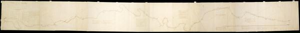
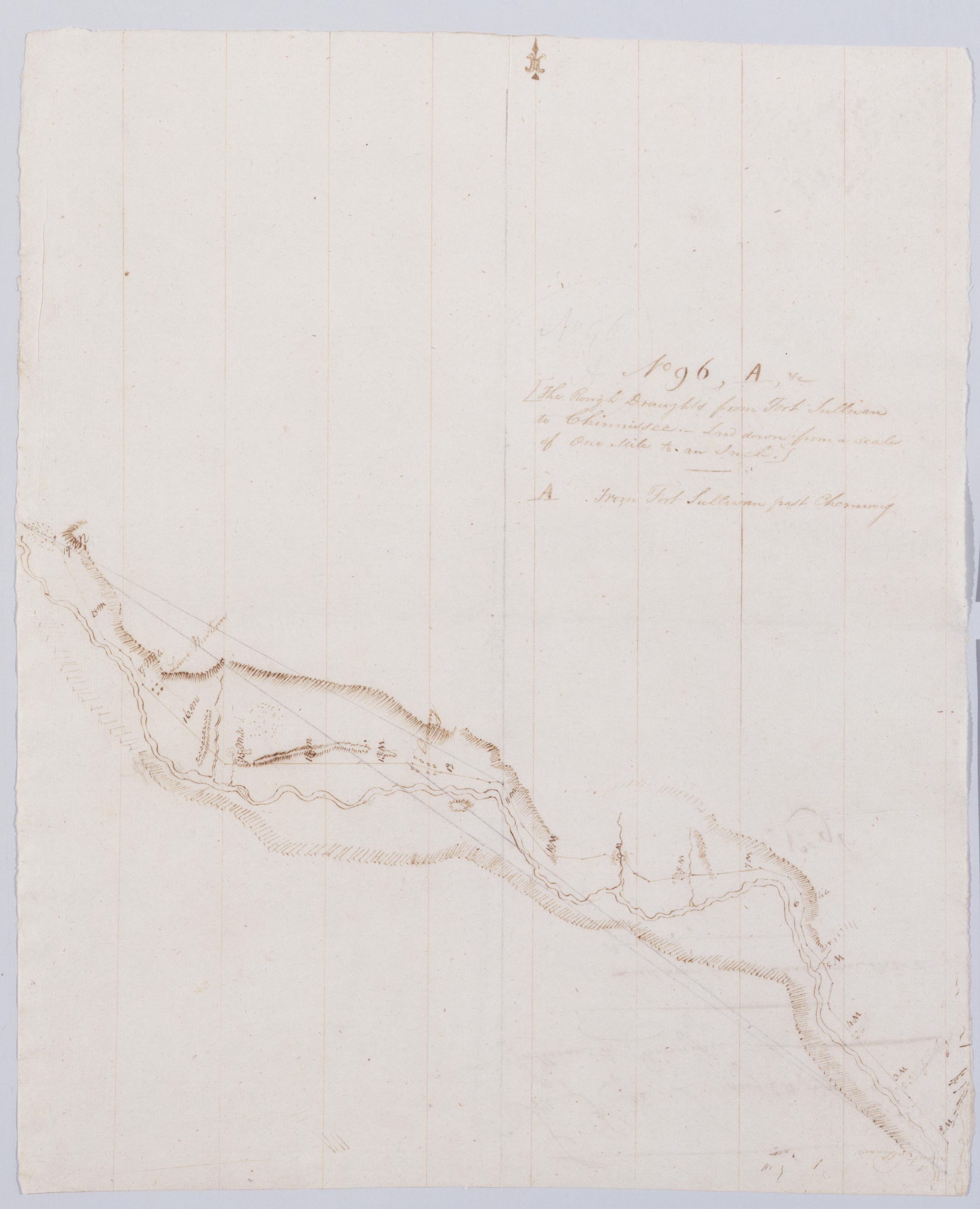
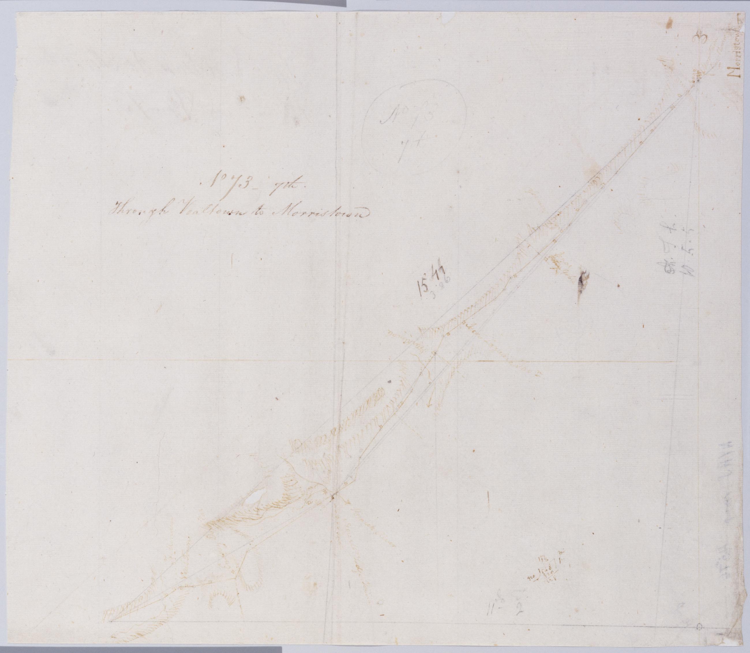
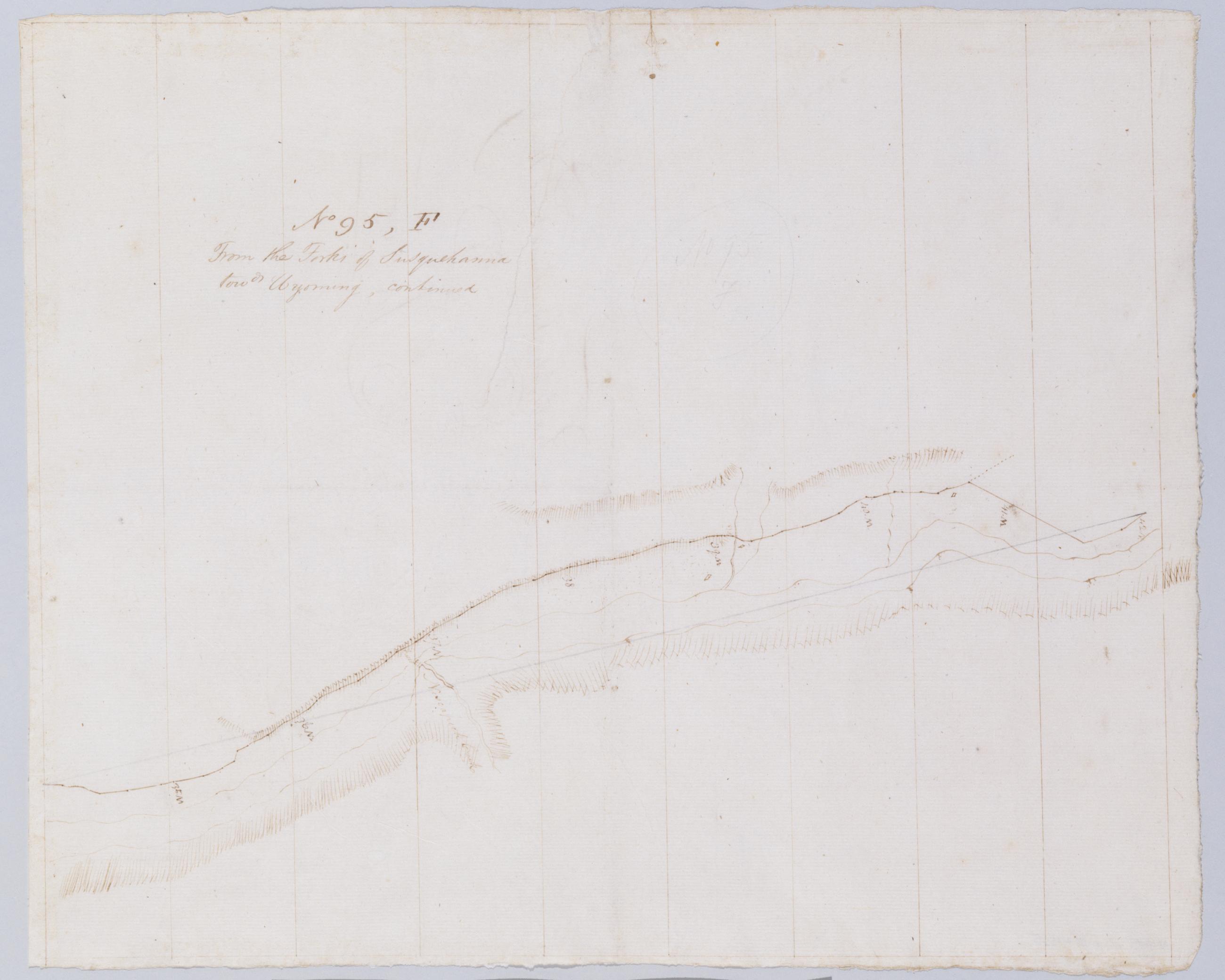
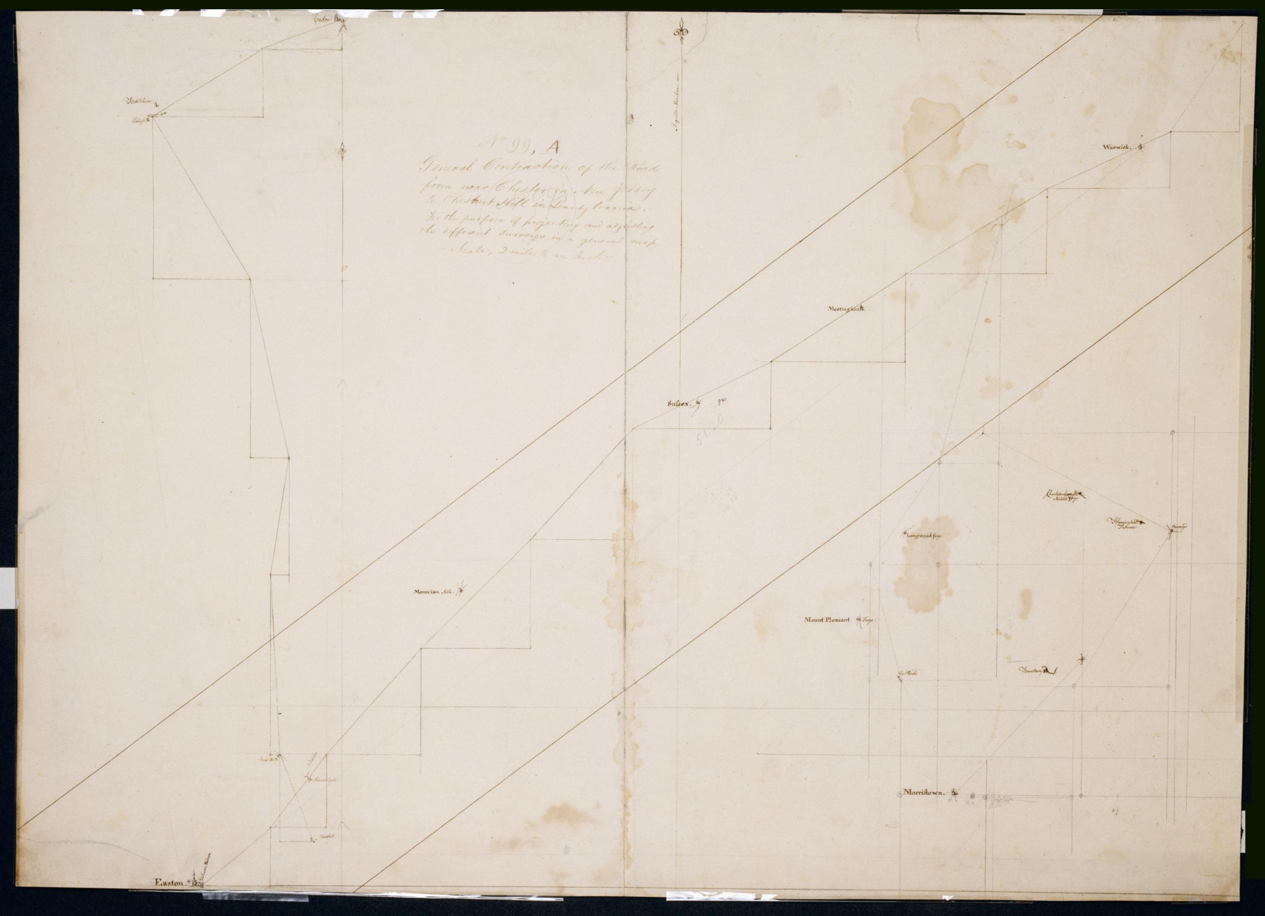
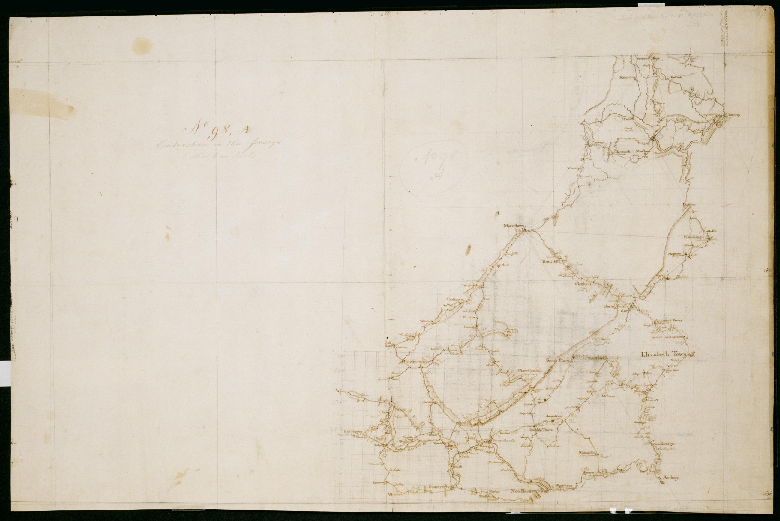
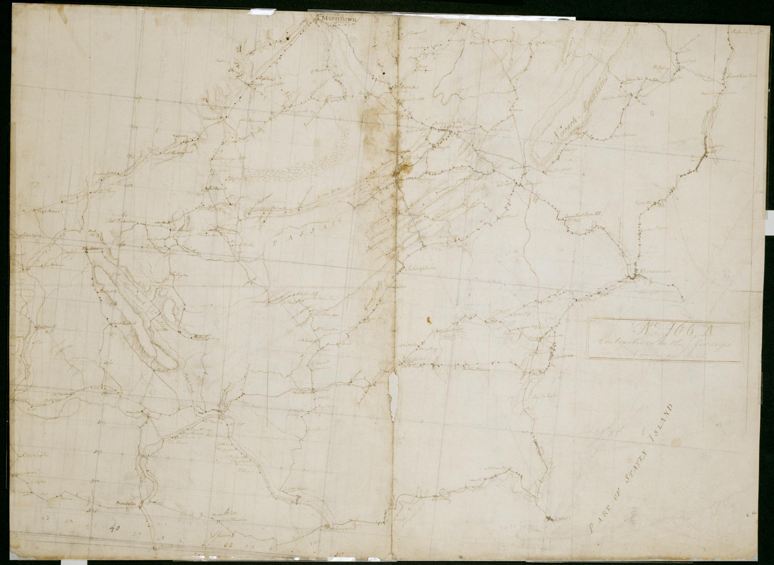
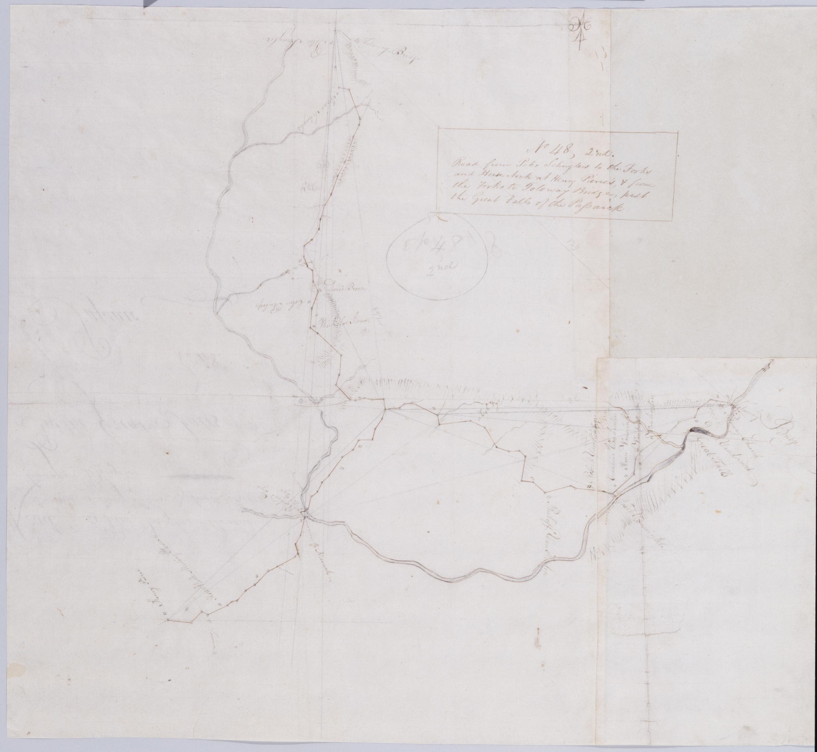
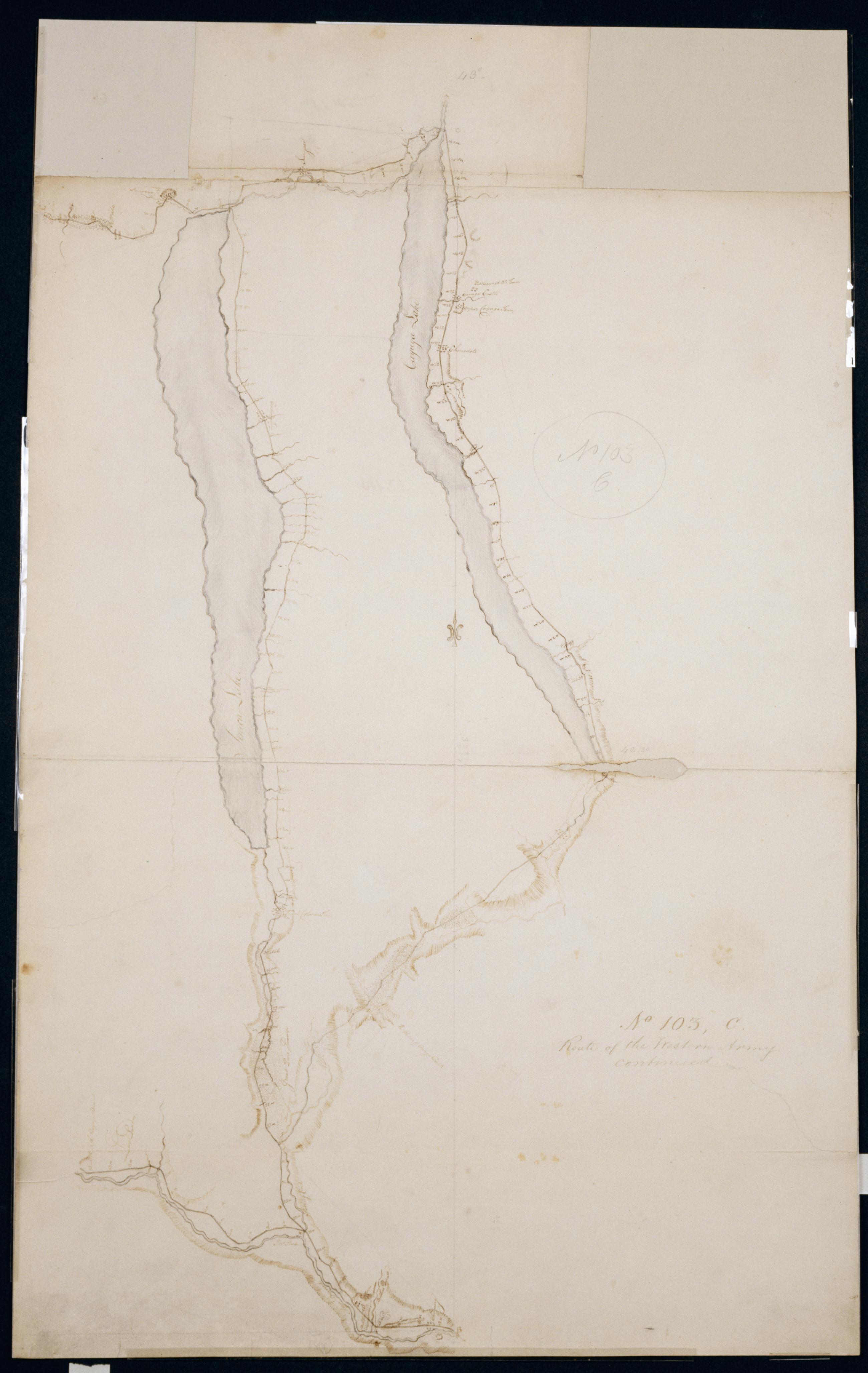
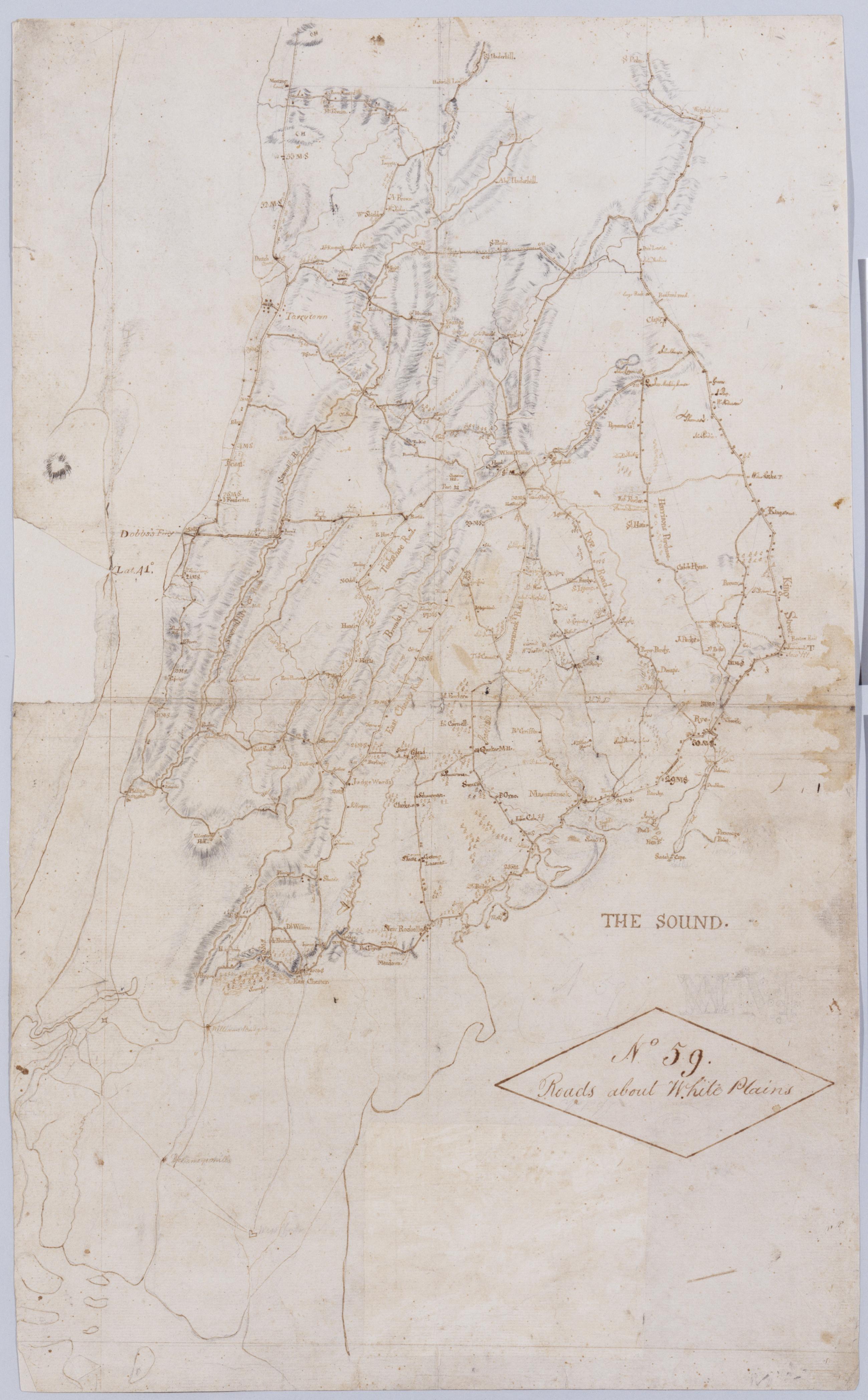
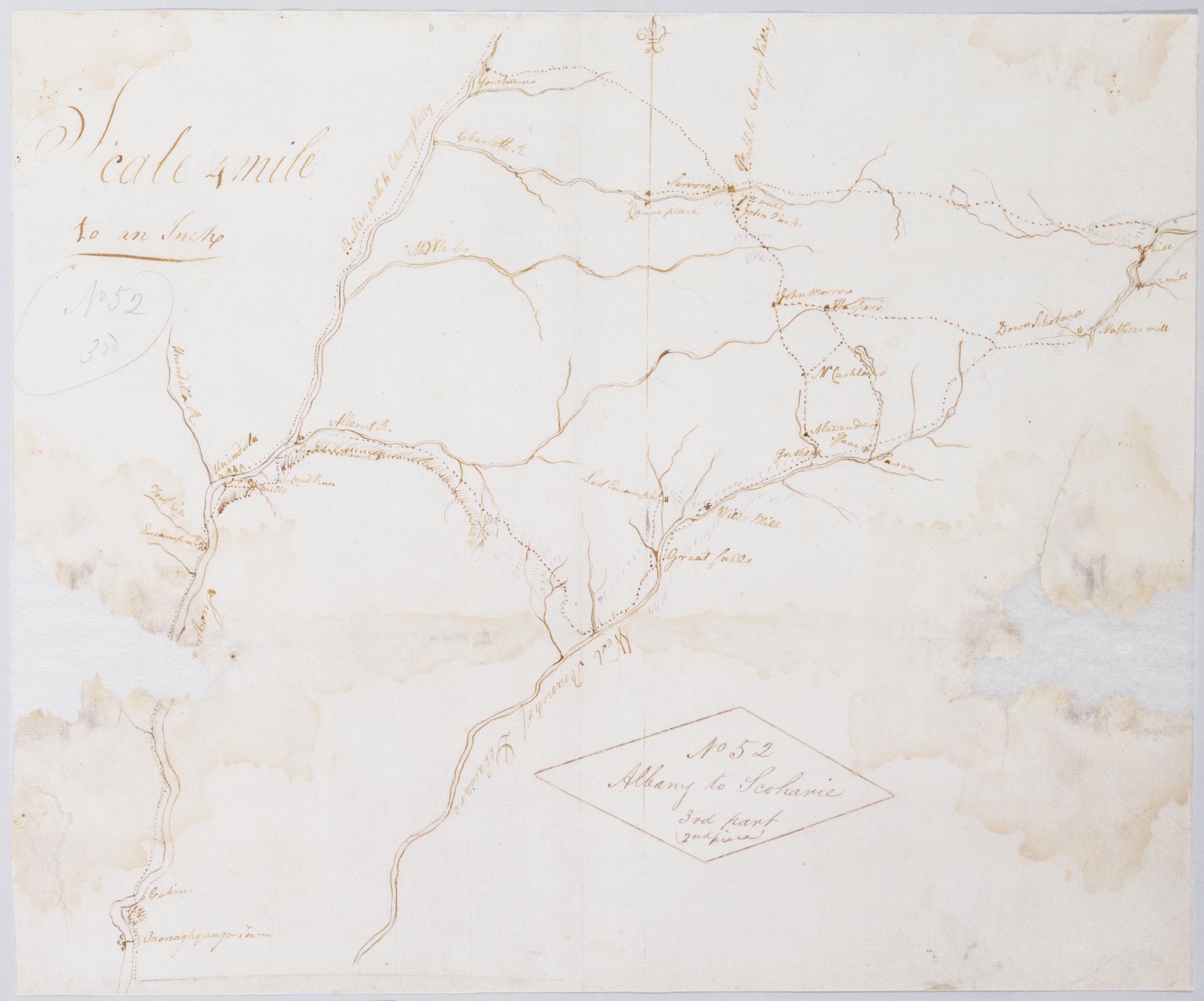
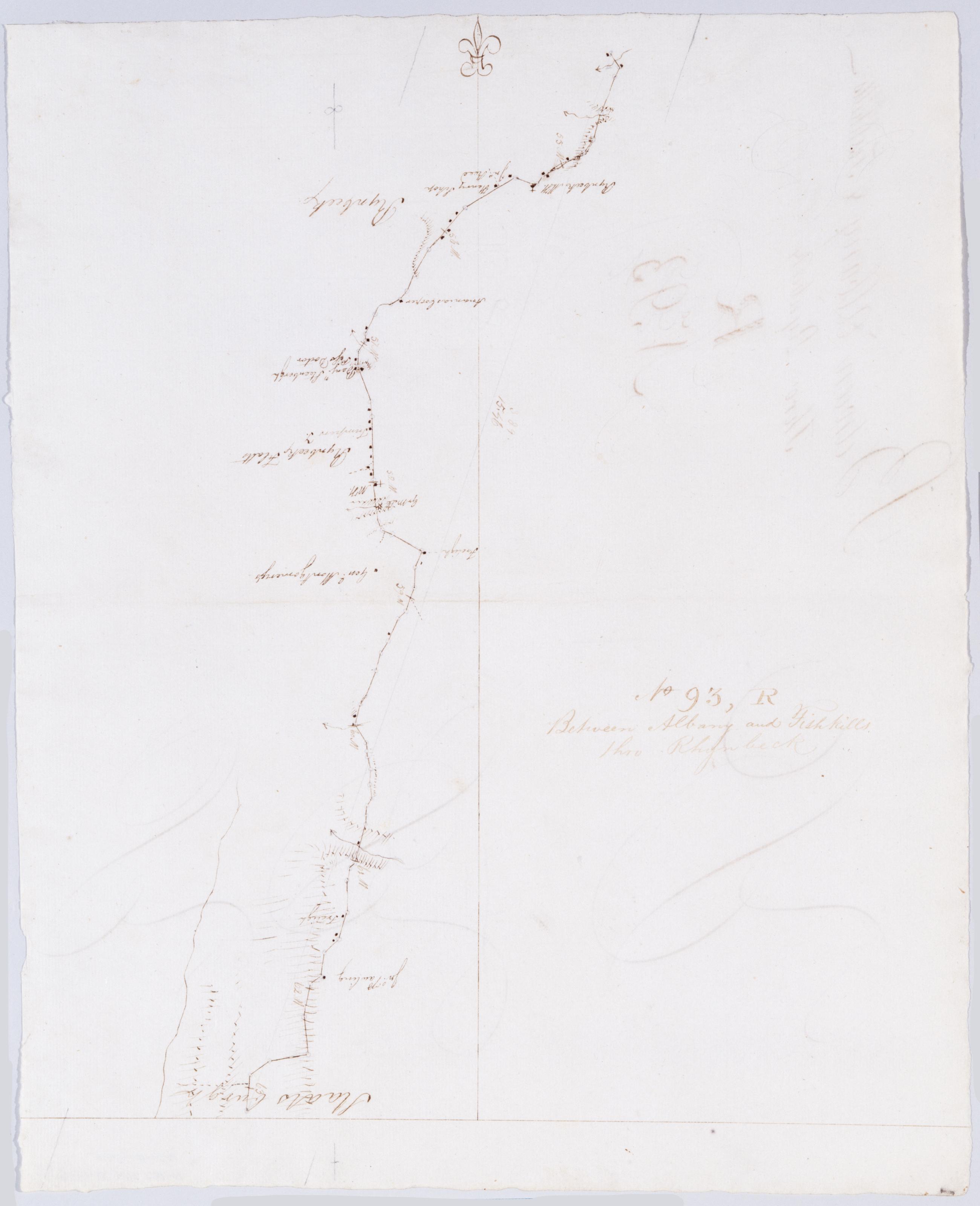
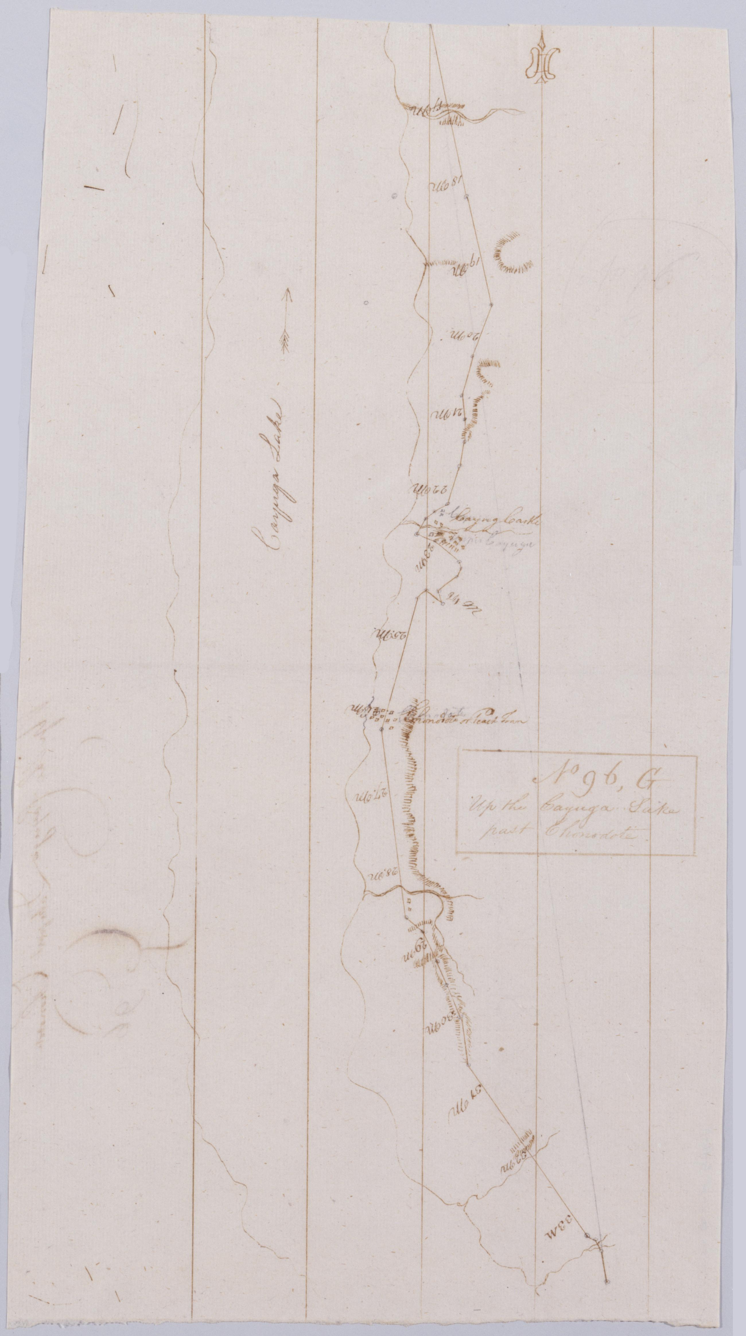
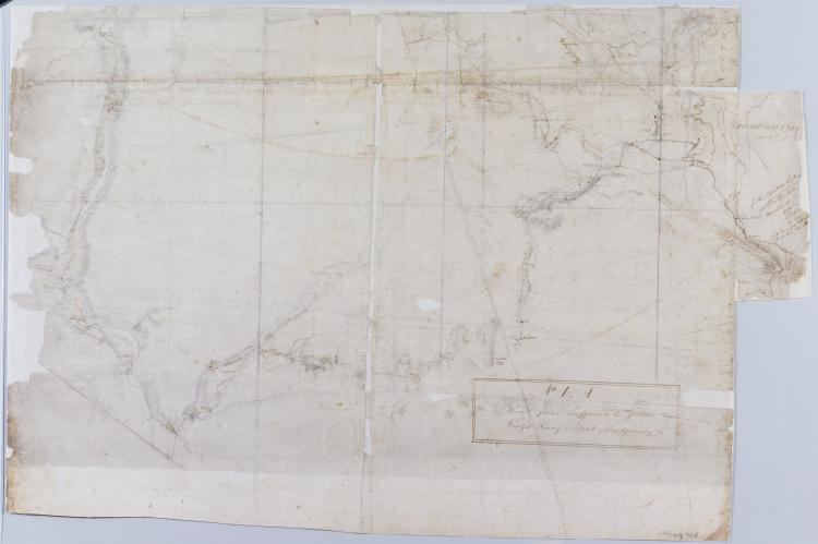
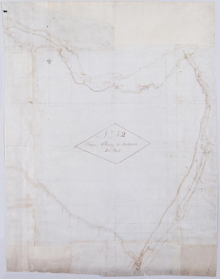
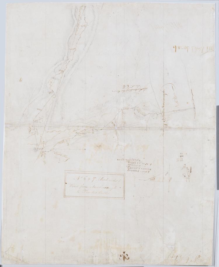
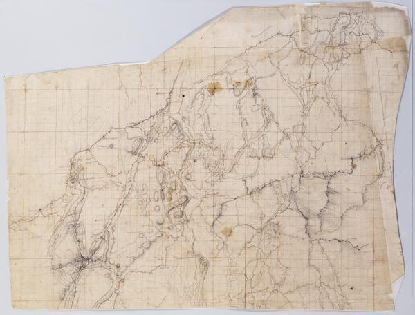
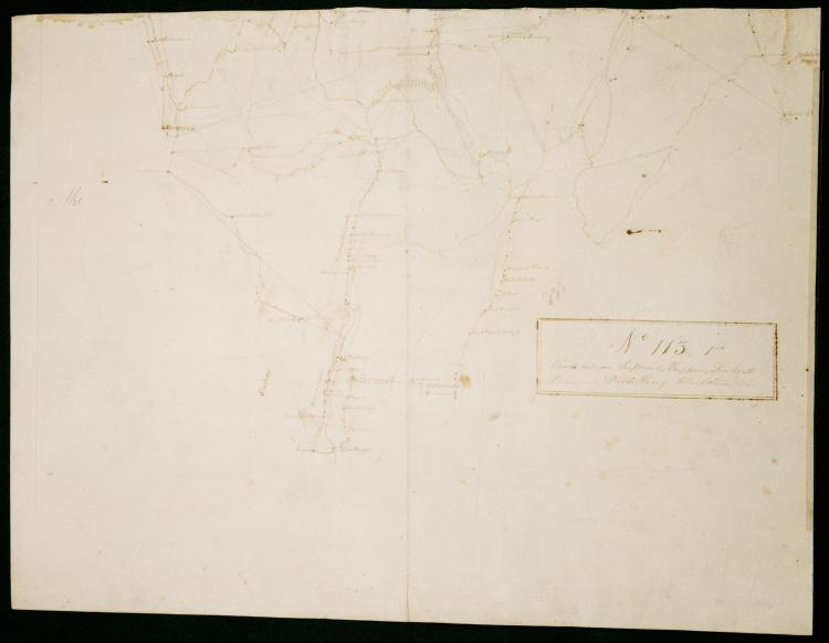
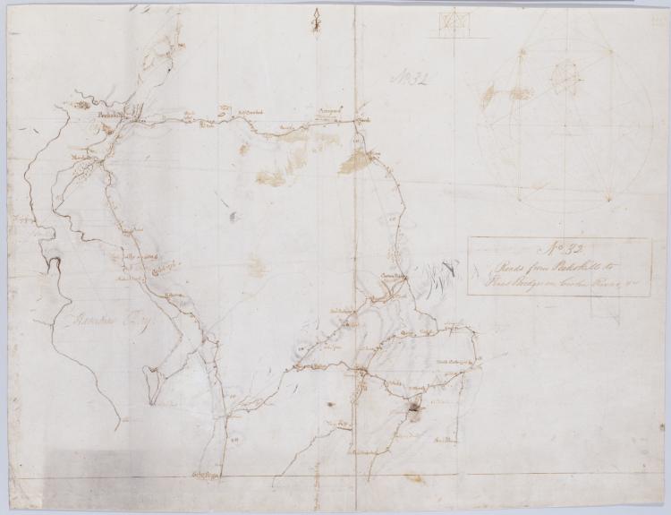
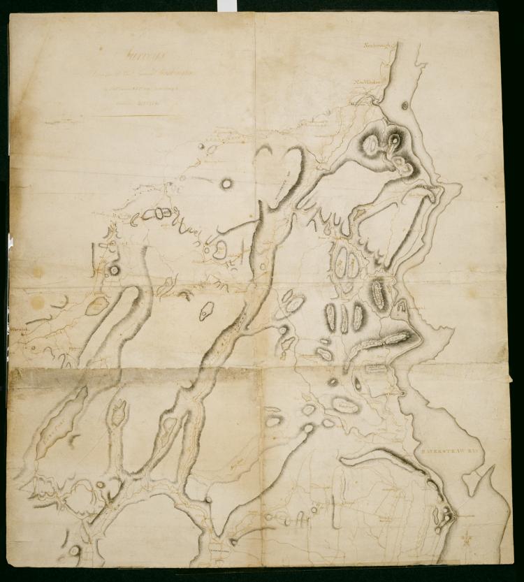
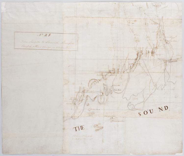
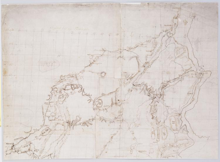
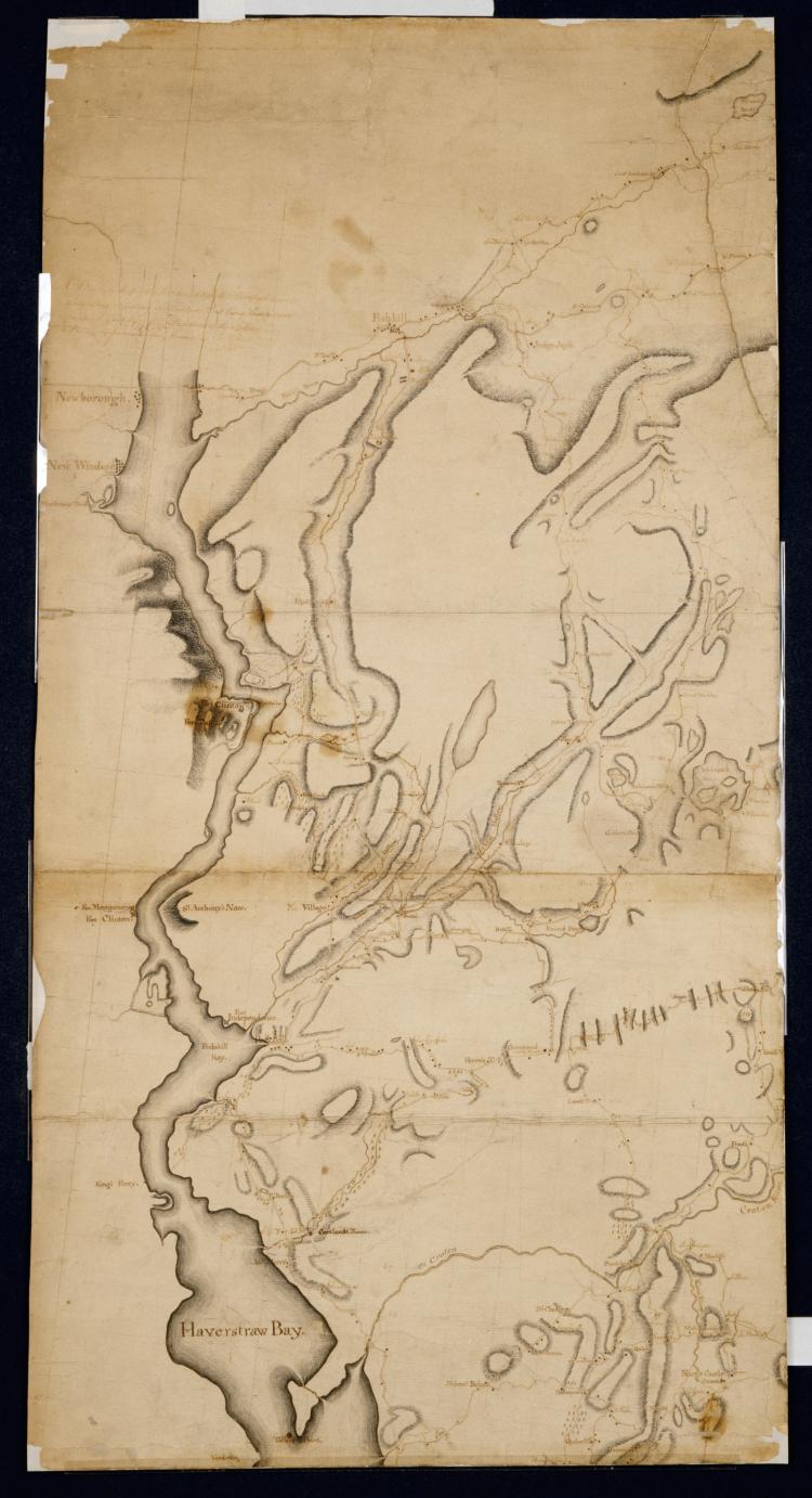
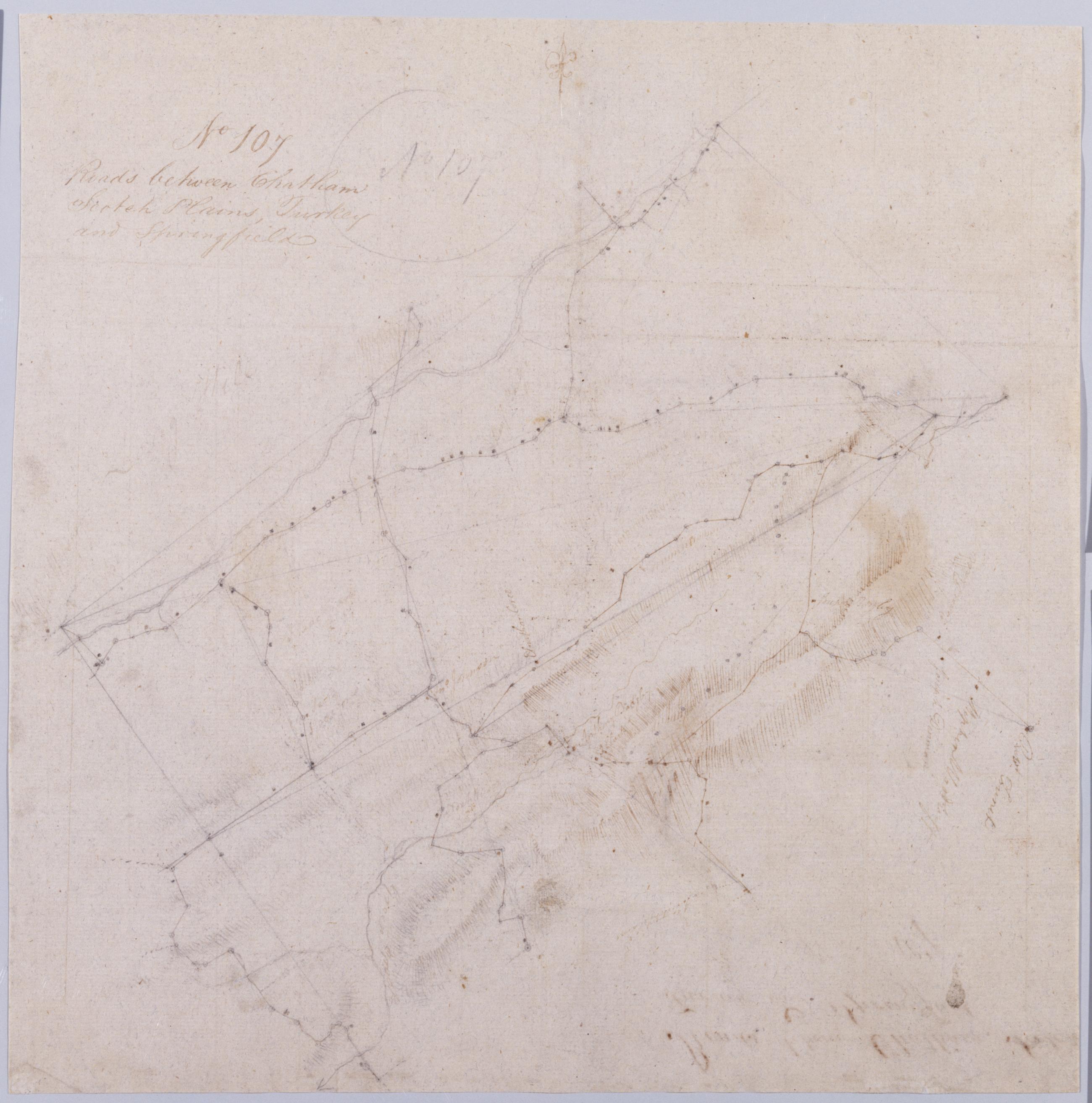
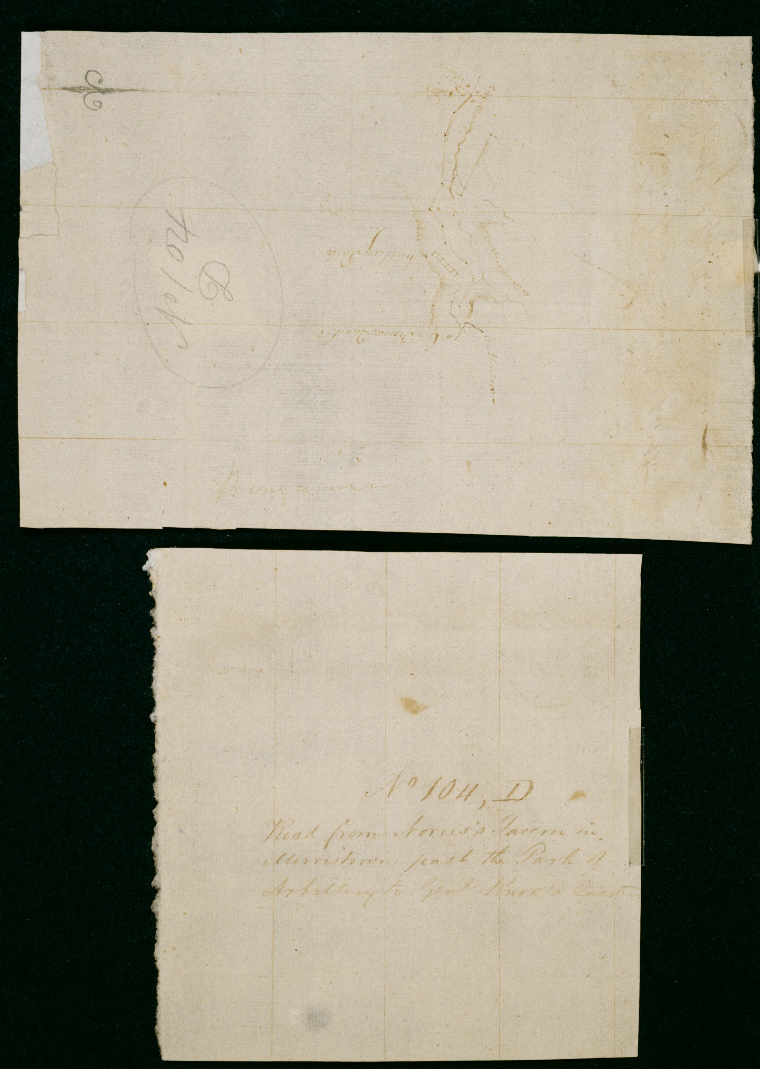
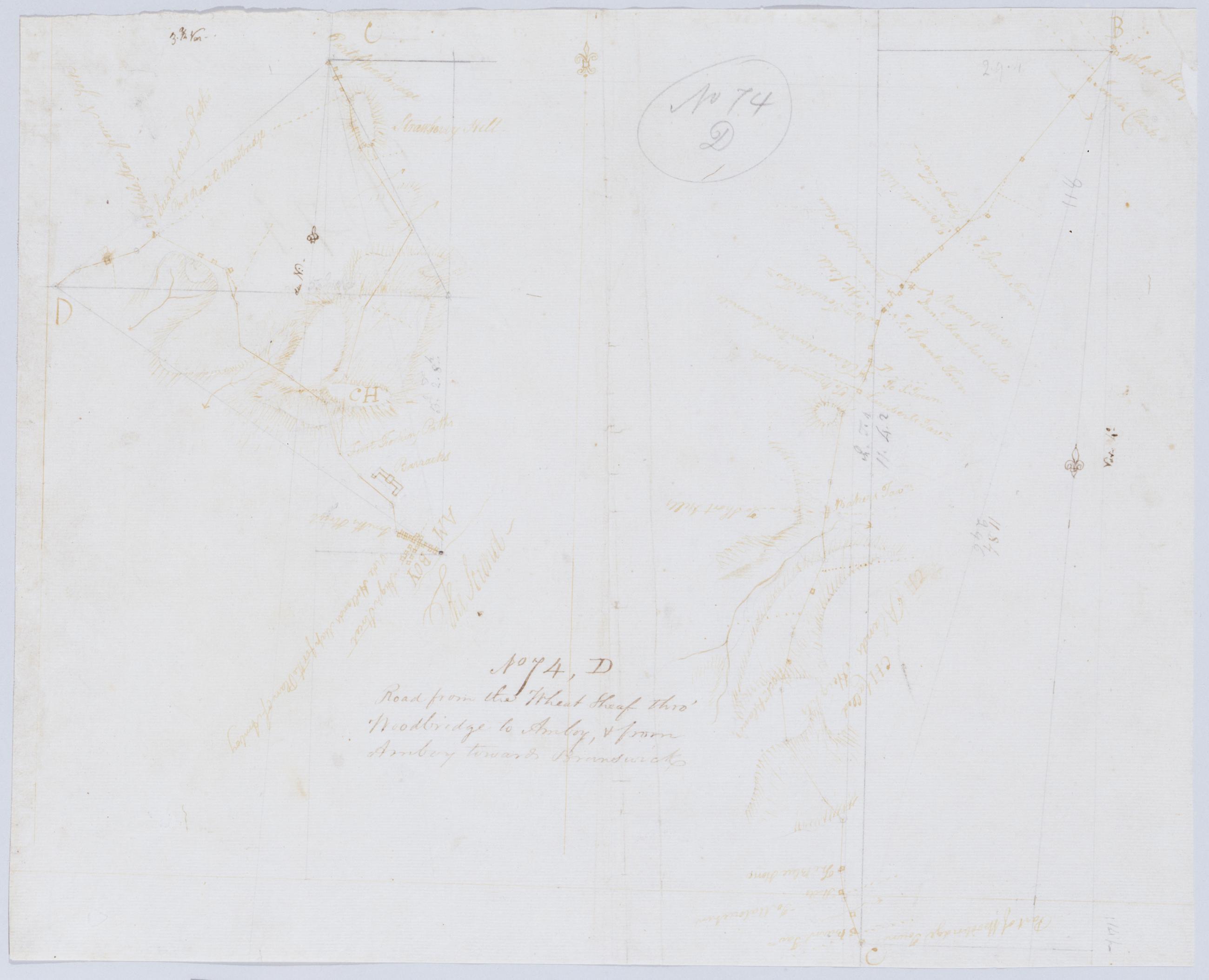
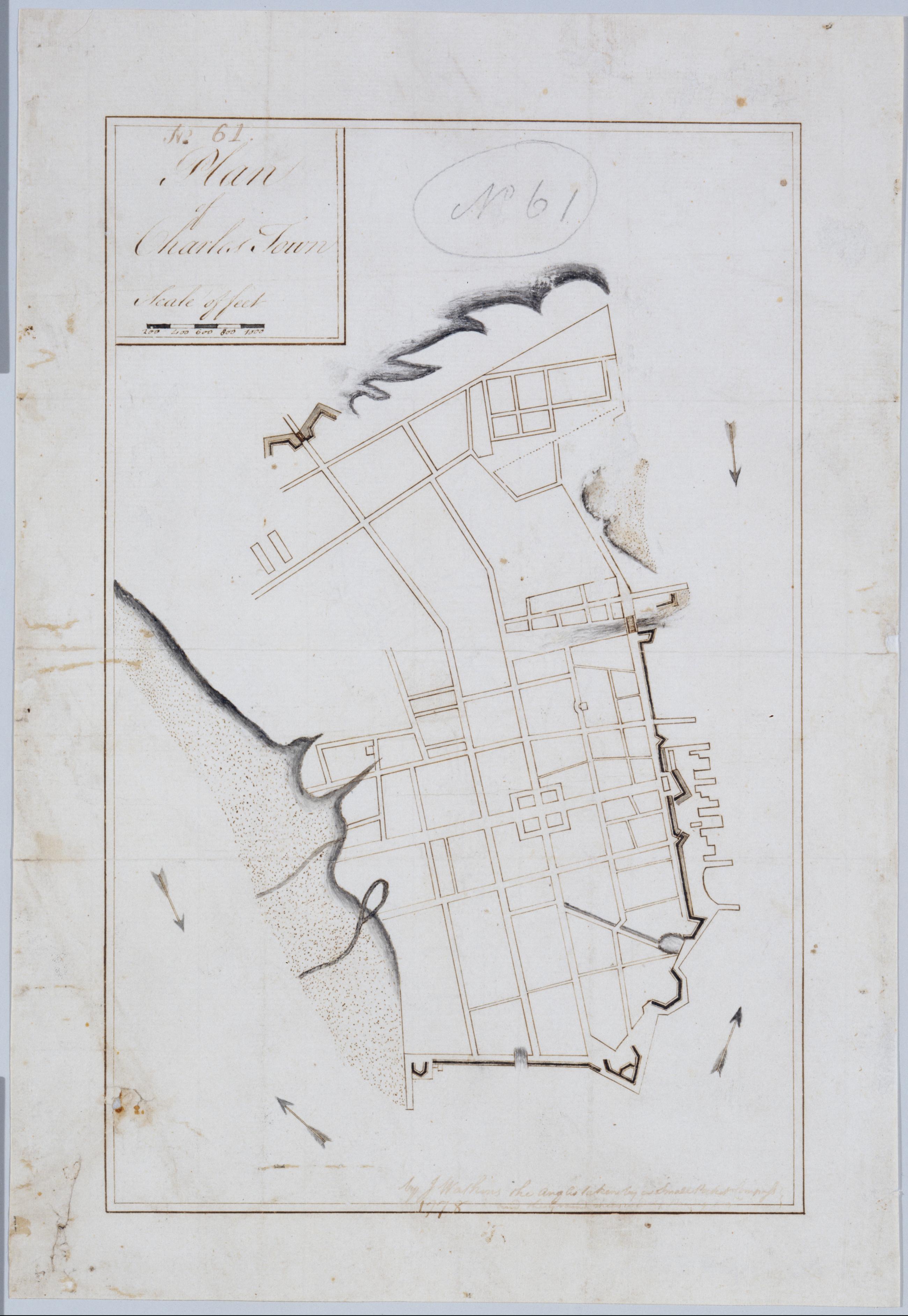
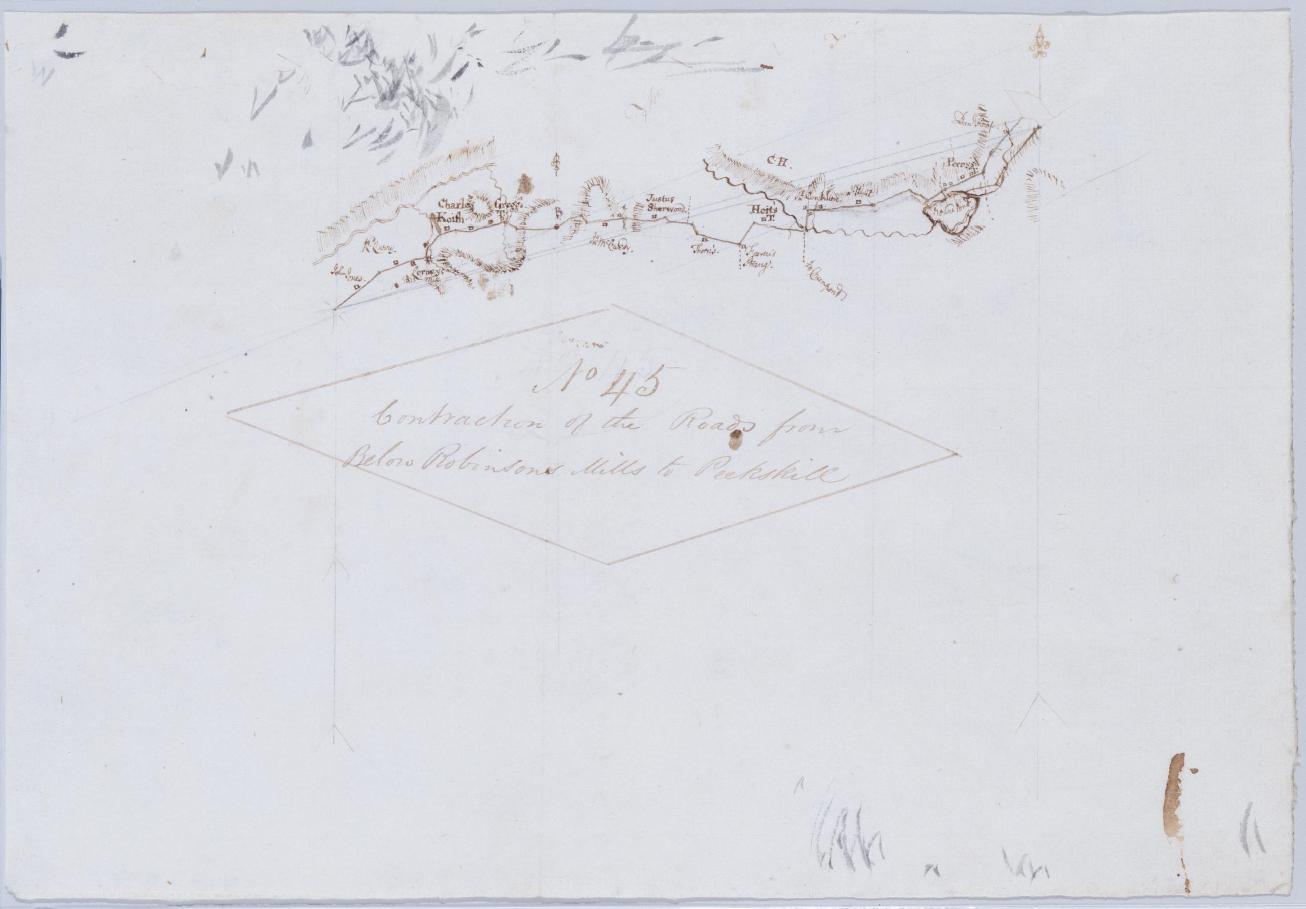
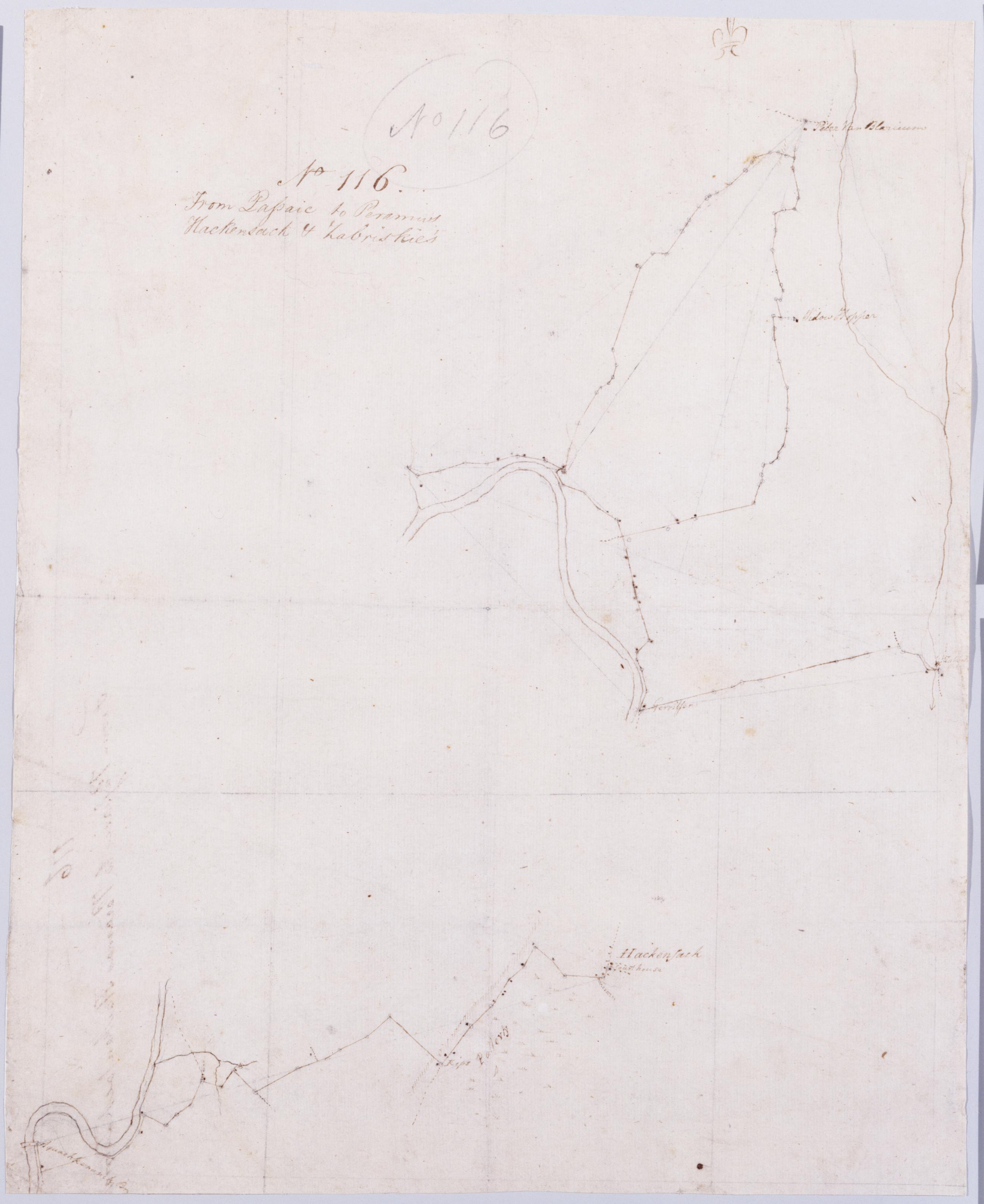
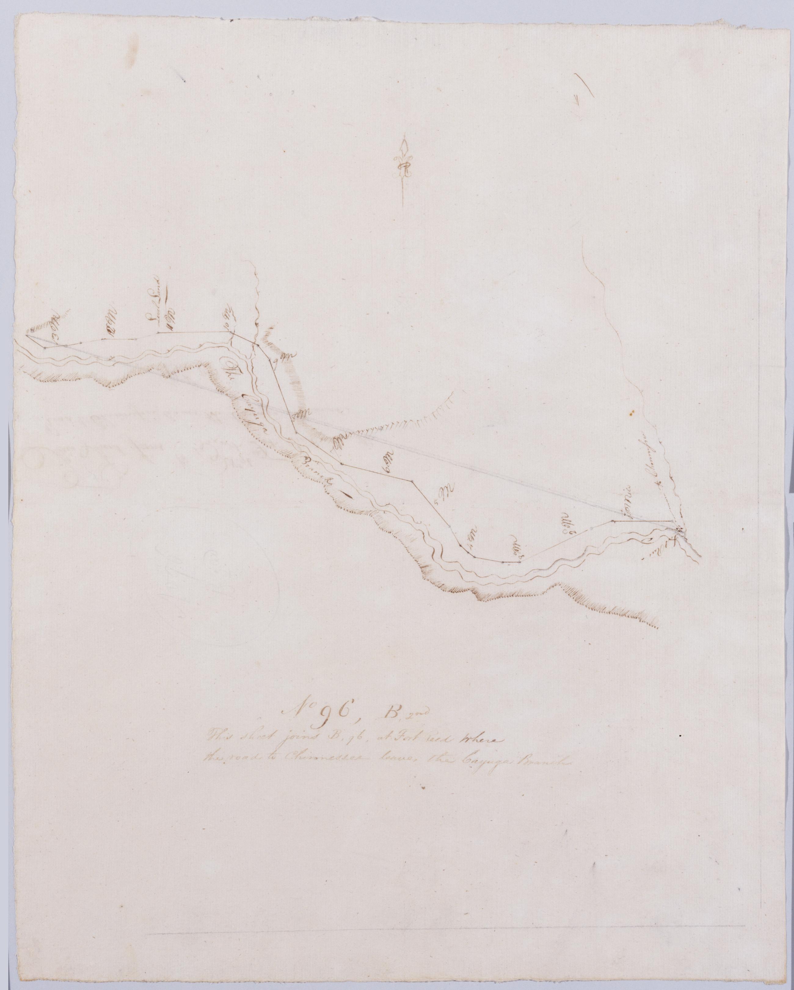
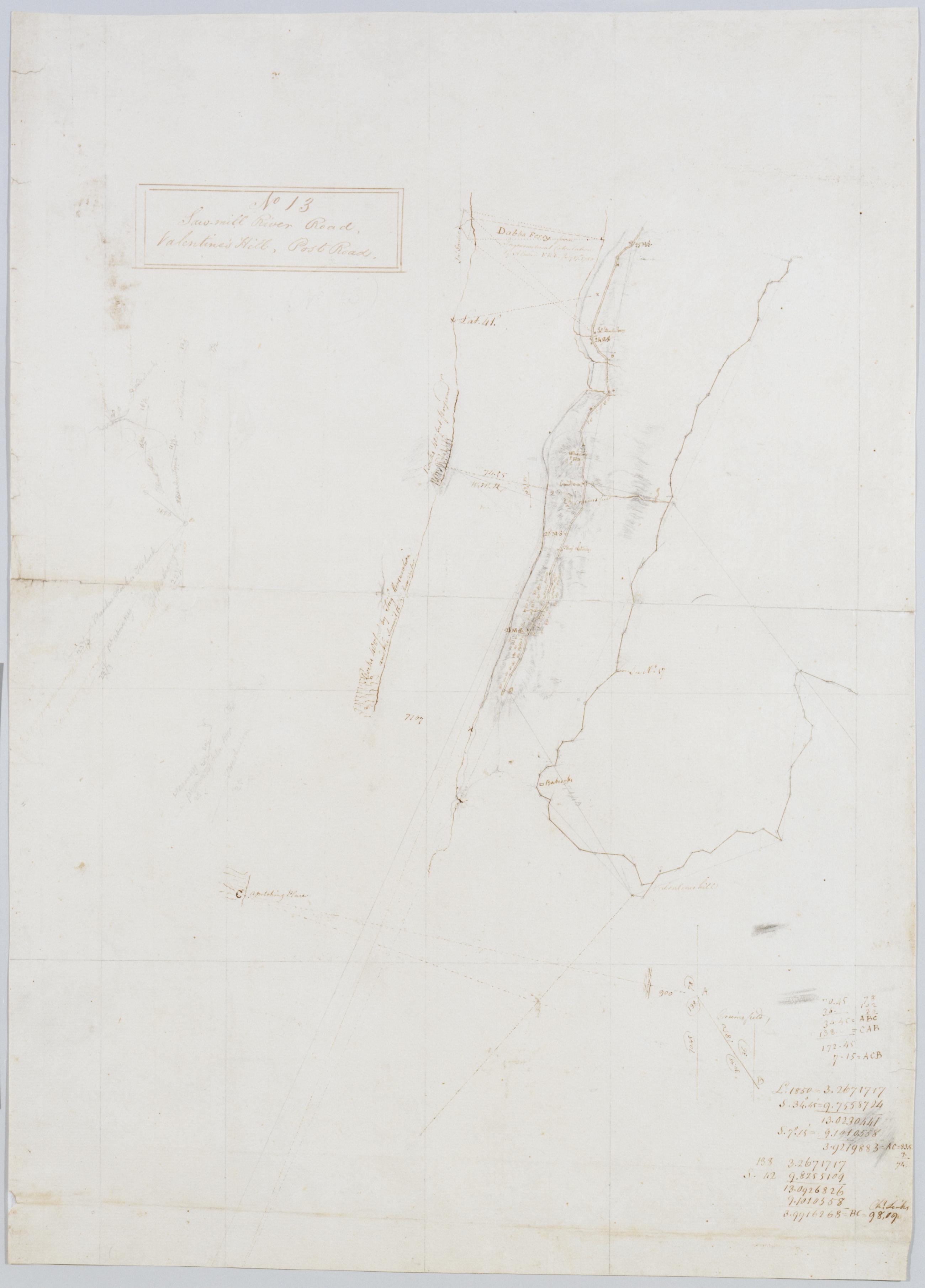
This series of field sketches and finished maps of projected battle sites in New York, New Jersey, Connecticut and Pennsylvania during the Revolutionary war was begun by Robert Erskine, geographer and surveyor-general to the Continental Army, and completed by his successor, Simeon De Witt. Robert Erskine (1735-1780) was appointed Geographer to Washington's army in 1777. He surveyed both sides of the Hudson River and a large area covering the adjoining states. Many of the maps are rough field sketches, from which more detailed maps were later drawn.
This series of field sketches and finished maps of projected battle sites in New York, New Jersey, Connecticut and Pennsylvania during the Revolutionary war was begun by Robert Erskine, geographer and surveyor-general to the Continental Army, and completed by his successor, Simeon De Witt. Robert Erskine (1735-1780) was appointed Geographer to Washington's army in 1777. He surveyed both sides of the Hudson River and a large area covering the adjoining states. Many of the maps are rough field sketches, from which more detailed maps were later drawn. Simeon DeWitt (1756-1834) succeeded Erskine as Geographer-in-Chief in 1780, and oversaw surveys of the roads heading south through Maryland and Virginia to Williamsburg and Yorktown, aiding in Washington's decisive victory at Yorktown. The Erskine-De Witt series culminates with the detailed Winter-Cantonment of the American Army and it's [sic] Vicinity for 1783, which shows the final encampment of the Continental forces at New Windsor, New York, during the winter of 1782-1783.