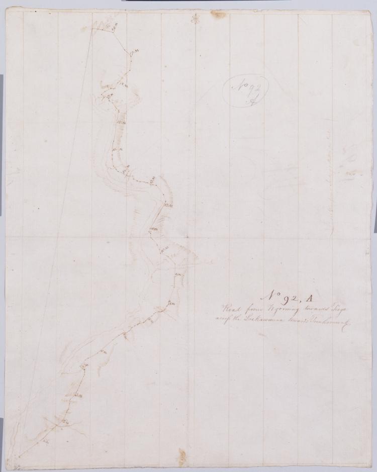
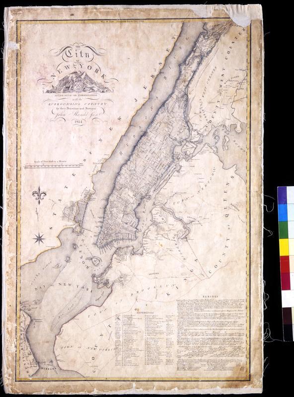
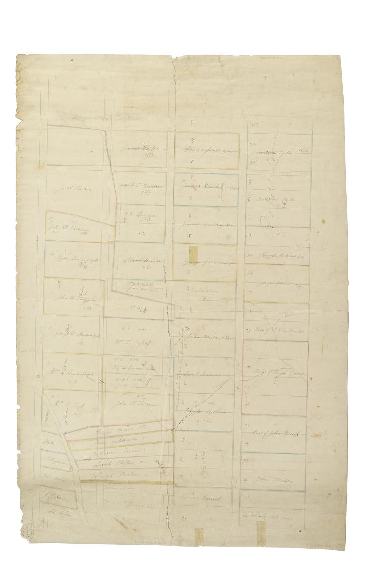
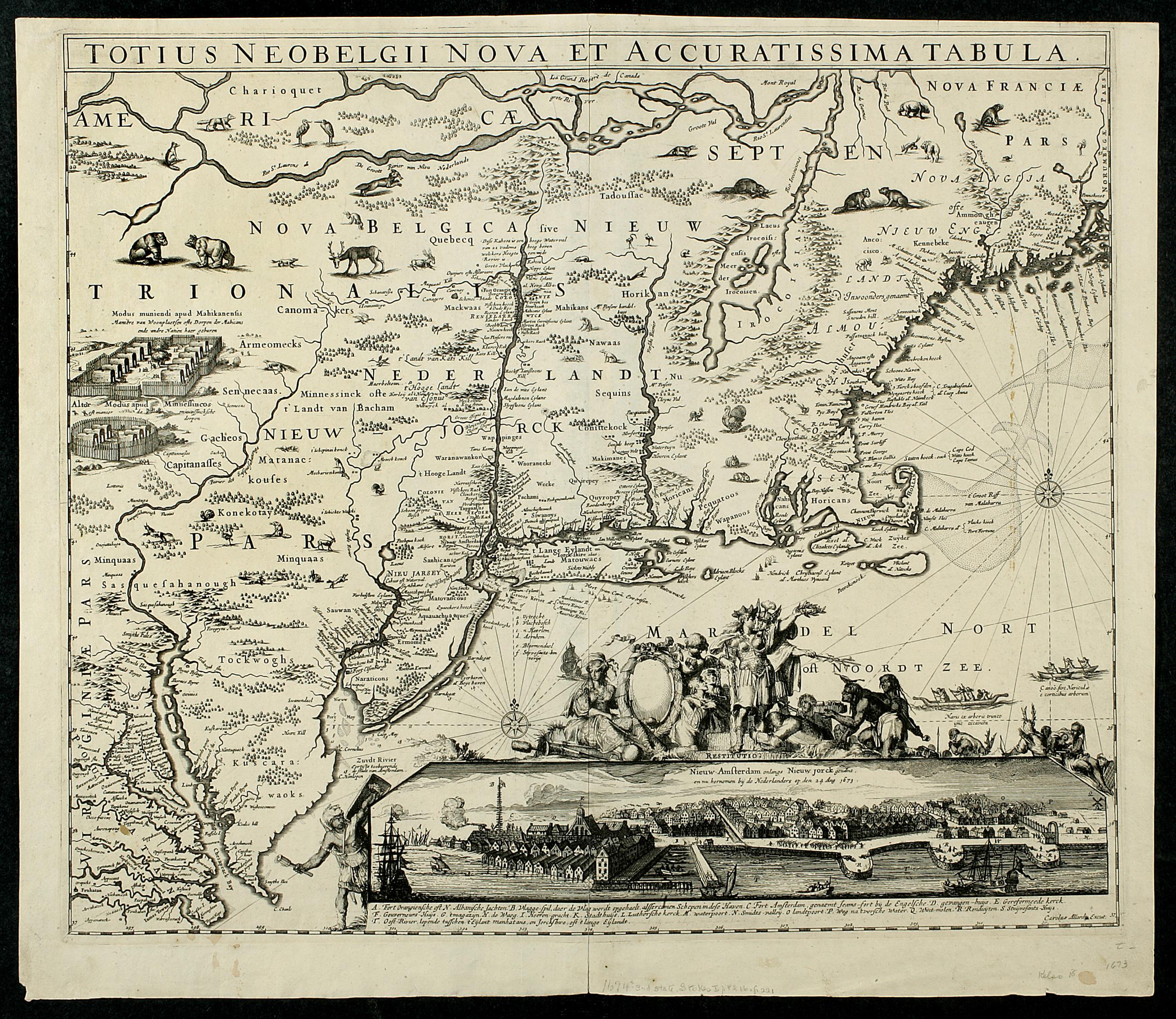
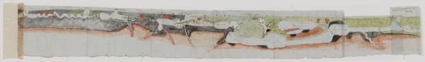
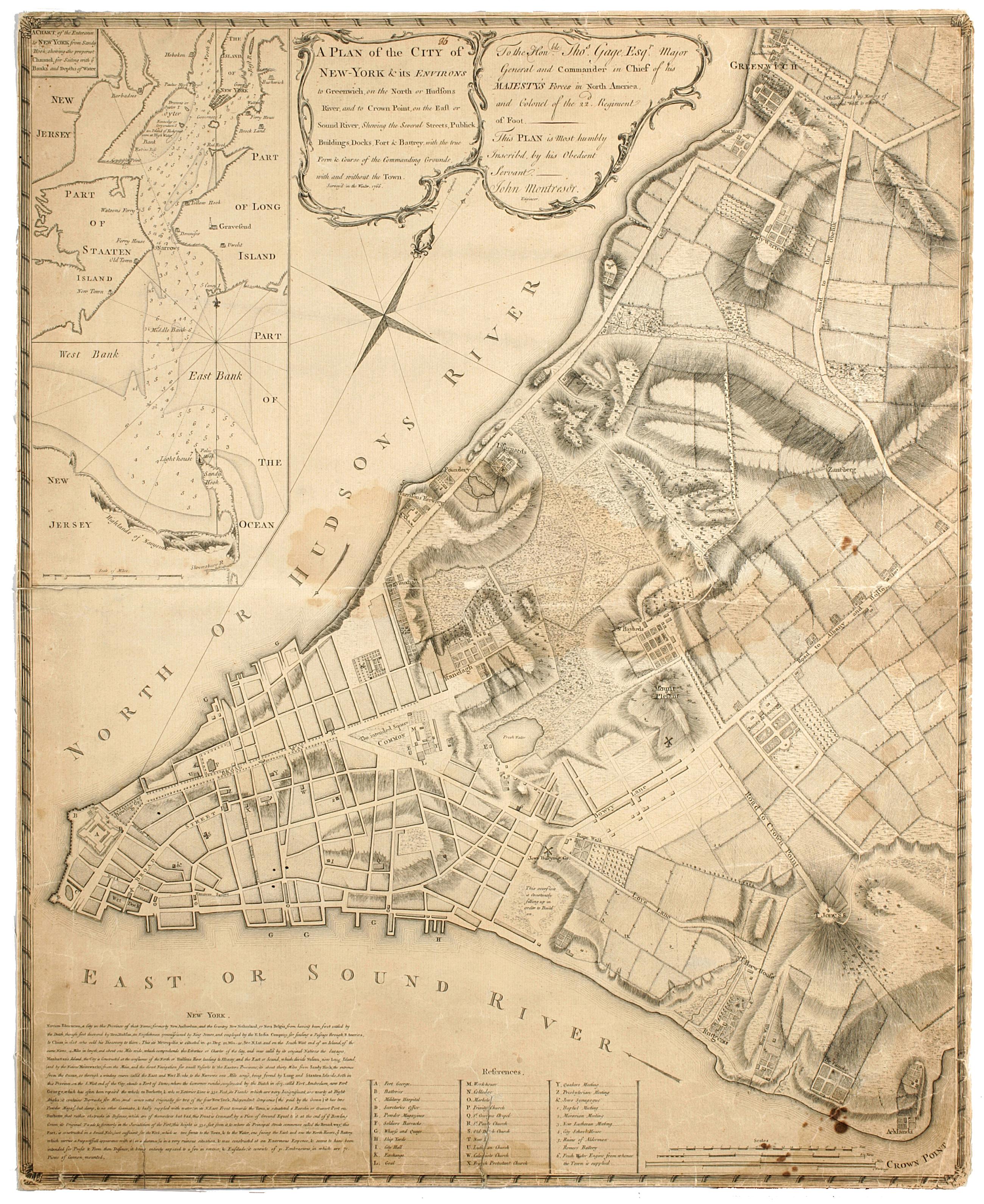
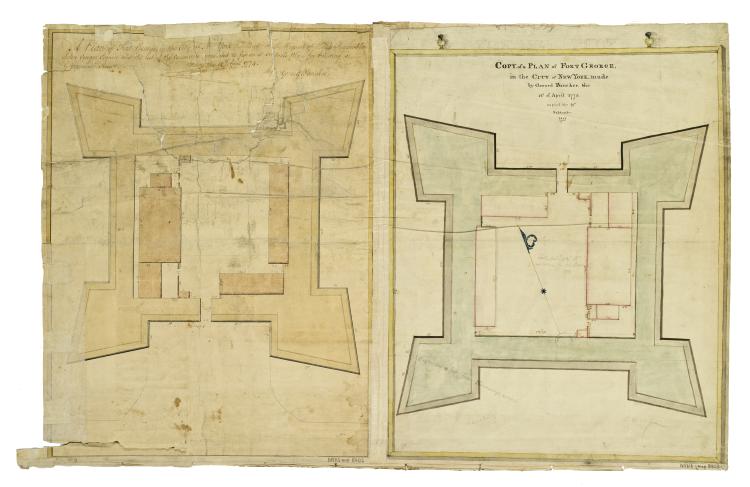
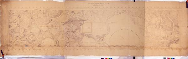
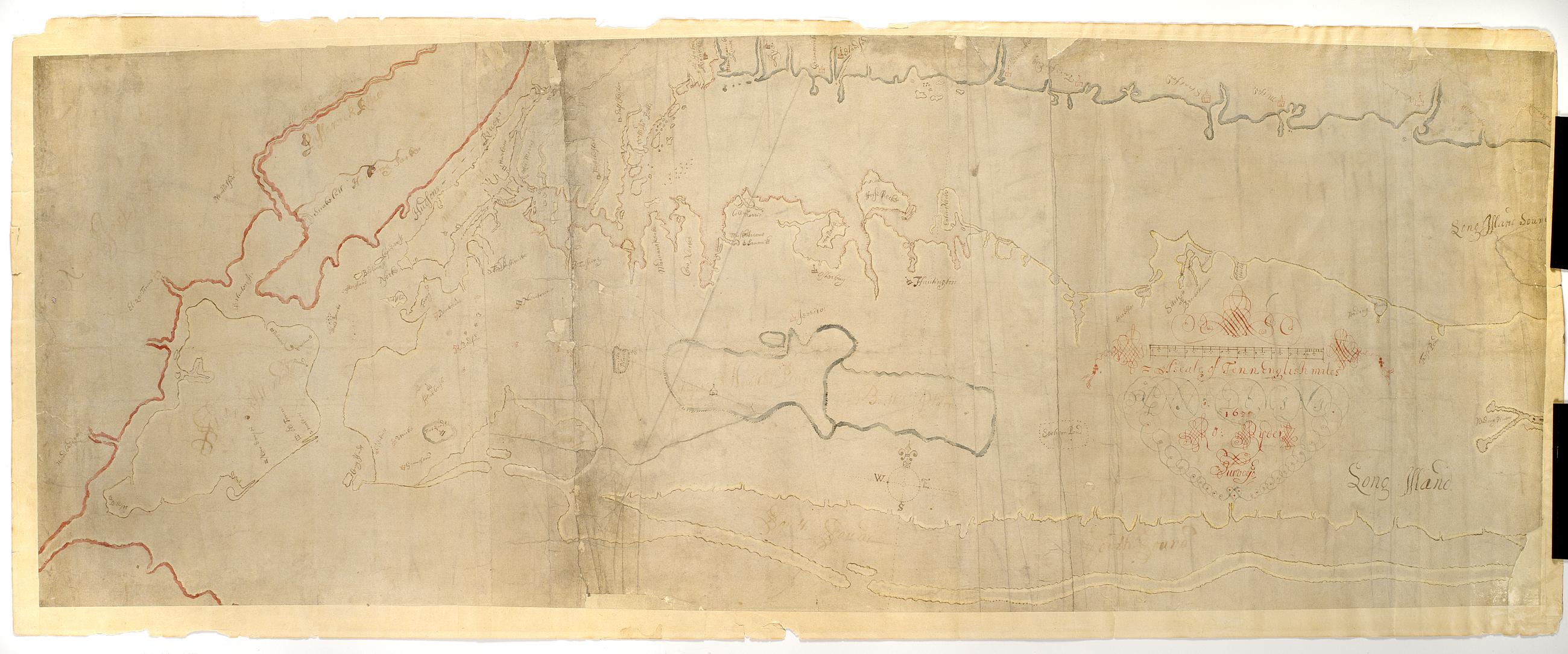
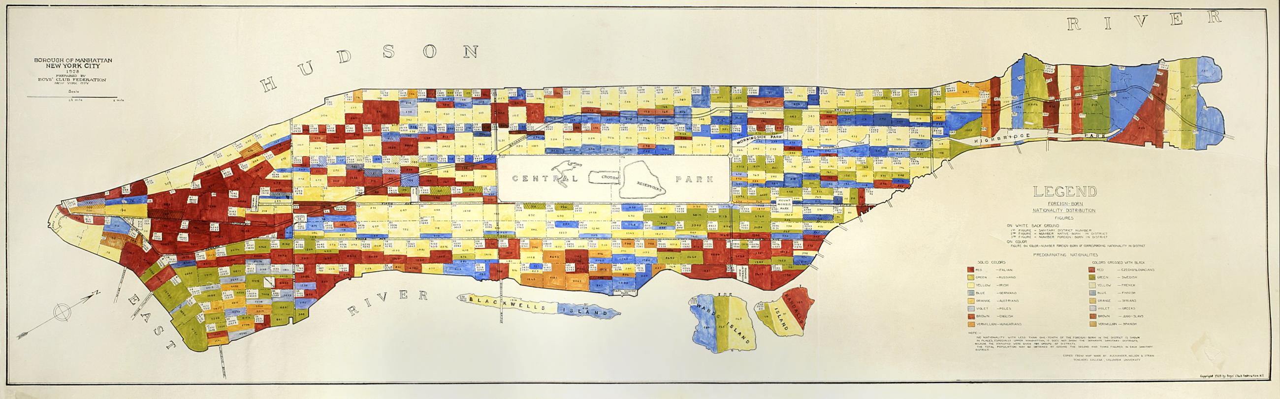
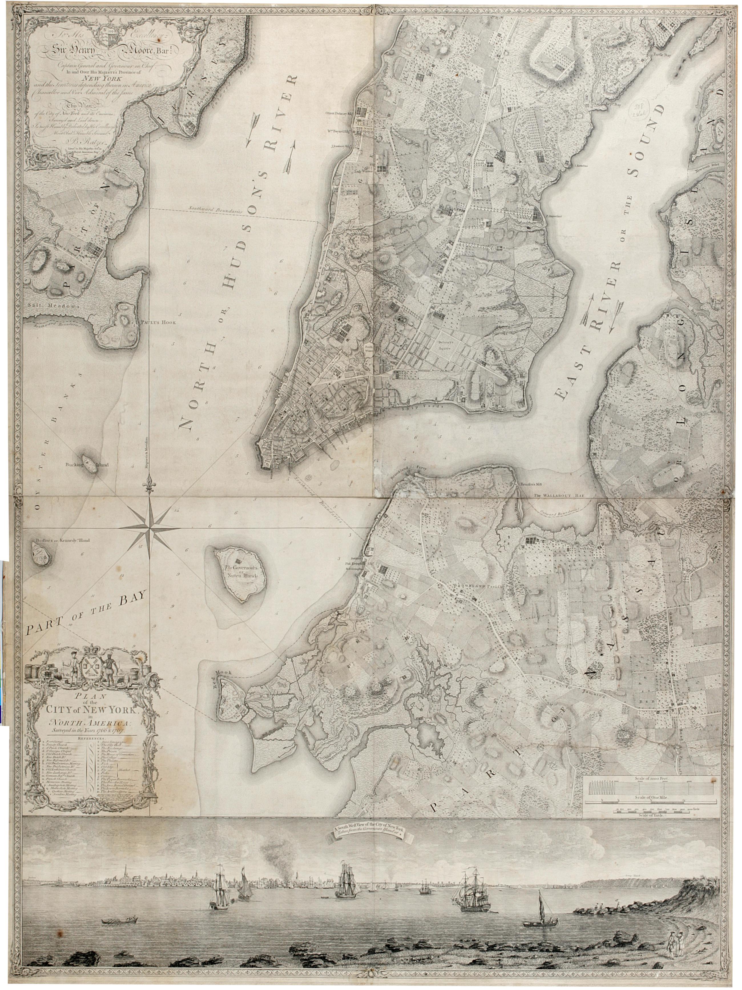
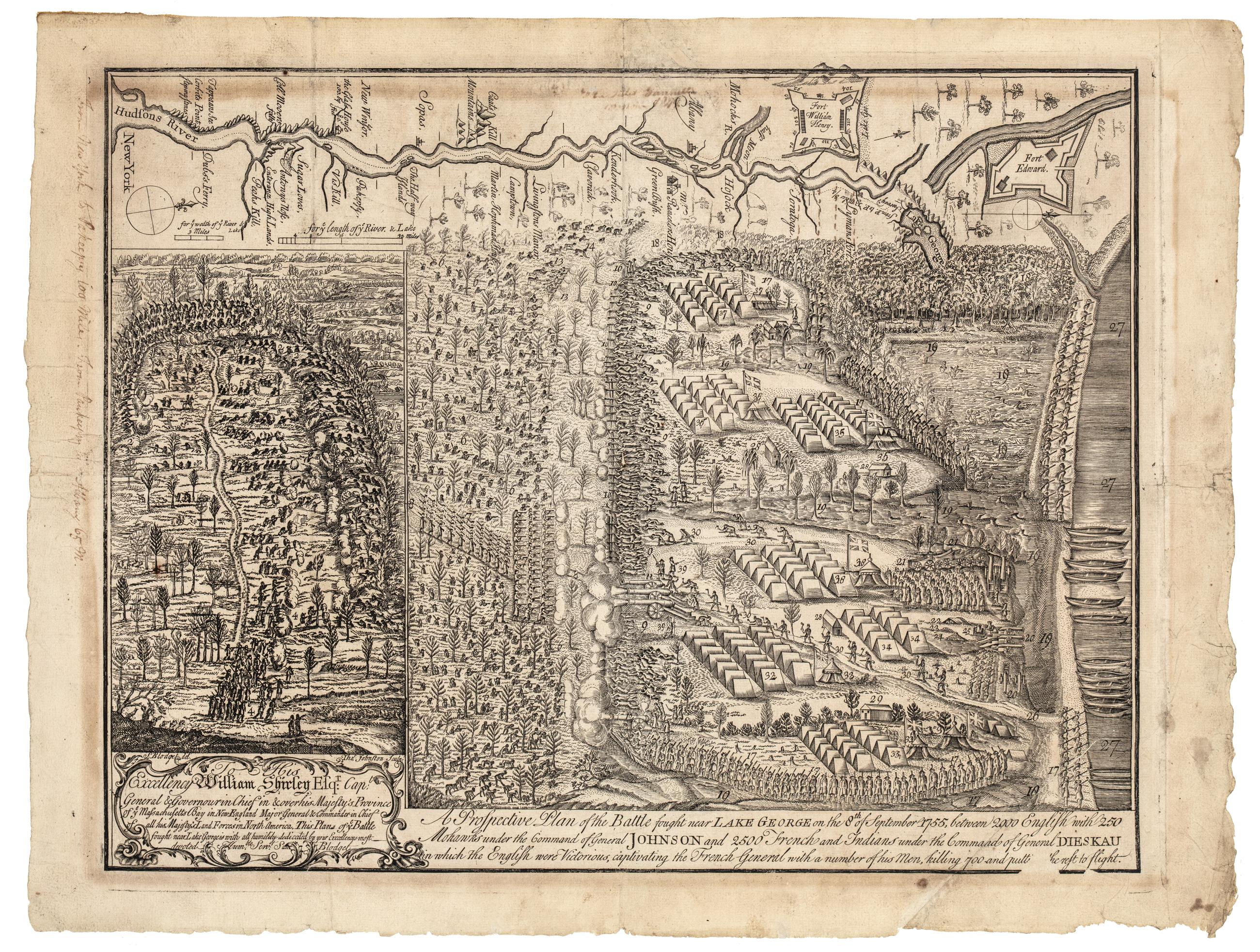
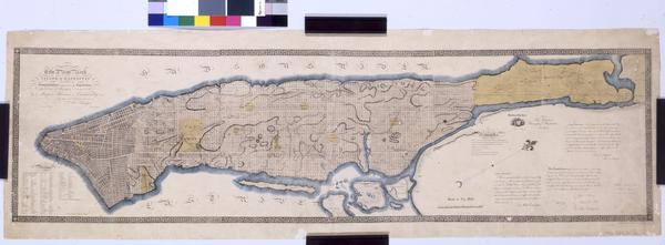
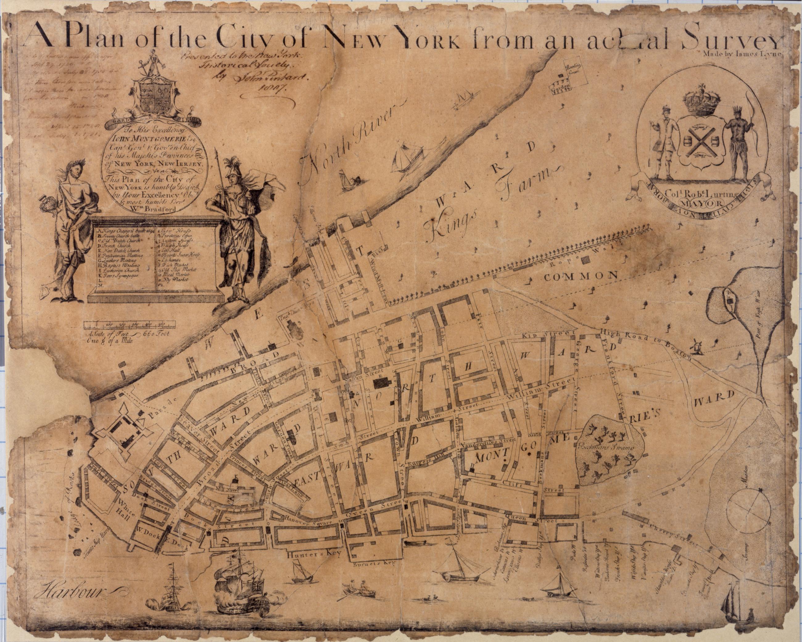
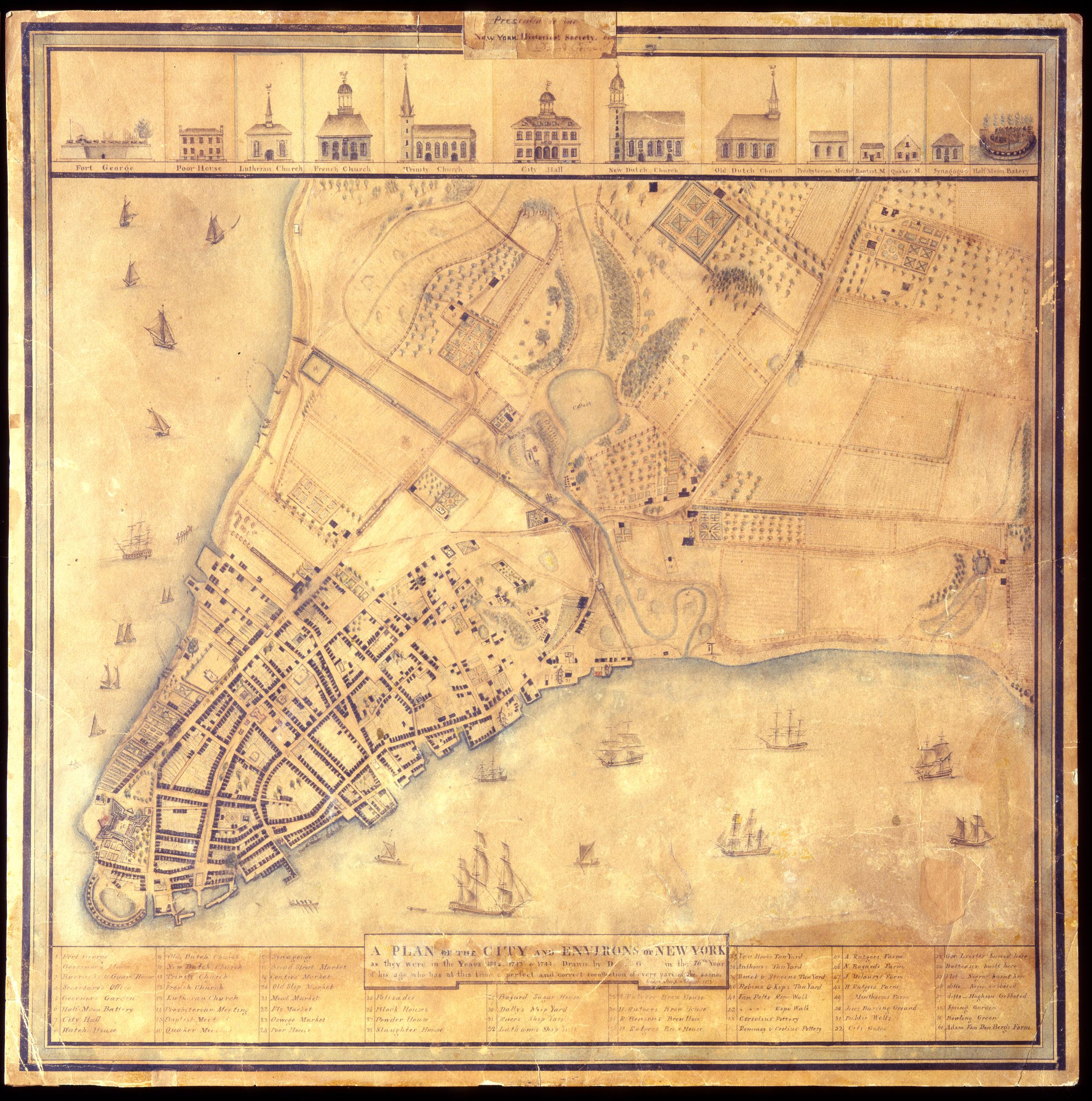
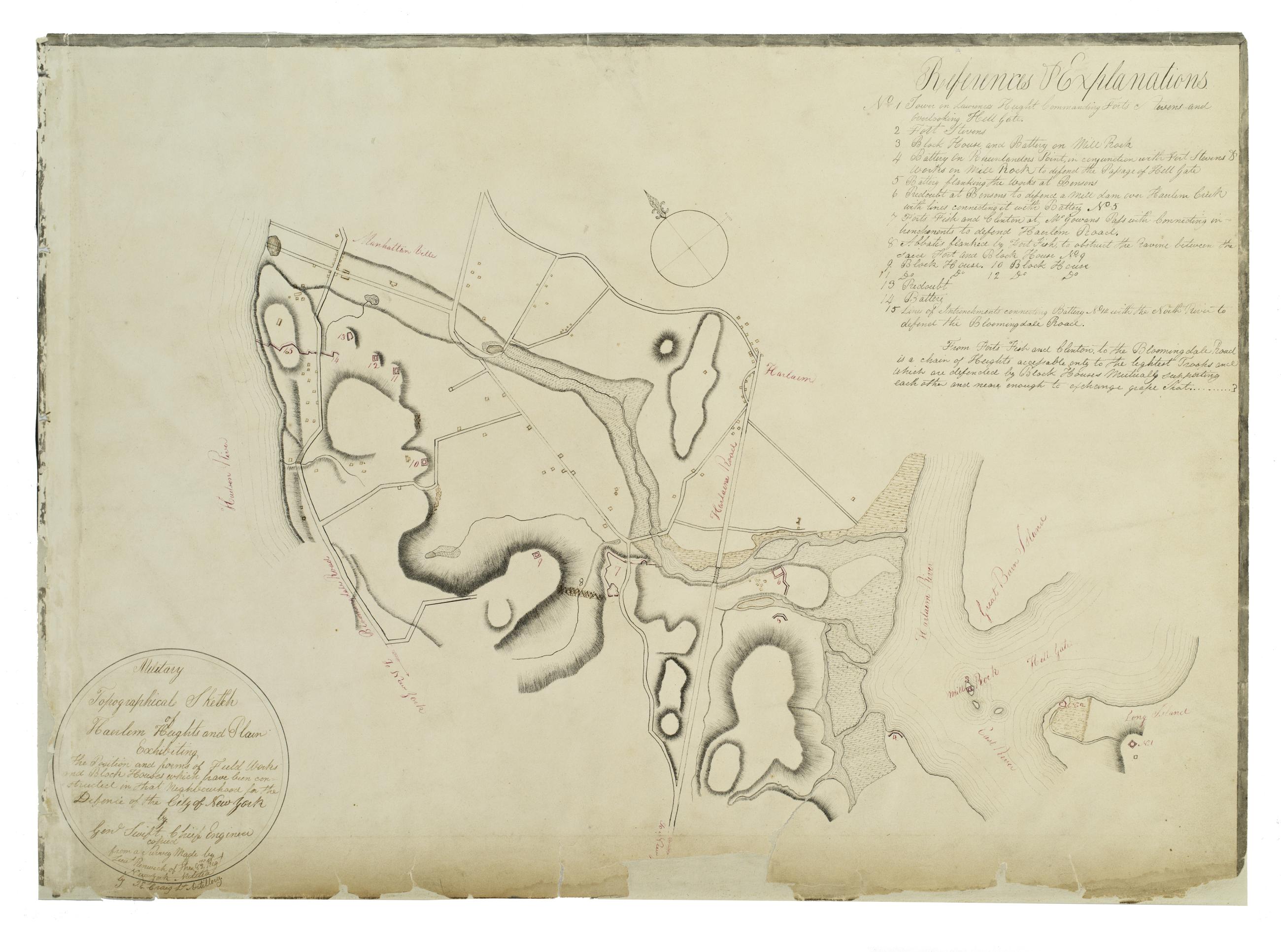
The New-York Historical Society's map collection ranges from the 17th century to the present and includes both printed and manuscript items. Geographic scope varies by time period, but extends from New York to the entire country. Among the manuscript maps that have been digitized are the unique sketches of projected battle sites of the American Revolution by Robert Erskine and Simeon DeWitt, and a series of maps created by Lawrence Veiller for the Tenement House Committee that document overcrowding in Manhattan in 1899:.
The New-York Historical Society's map collection ranges from the 17th century to the present and includes both printed and manuscript items. Geographic scope varies by time period, but extends from New York to the entire country. Among the manuscript maps that have been digitized are the unique sketches of projected battle sites of the American Revolution by Robert Erskine and Simeon DeWitt, and a series of maps created by Lawrence Veiller for the Tenement House Committee that document overcrowding in Manhattan in 1899:.