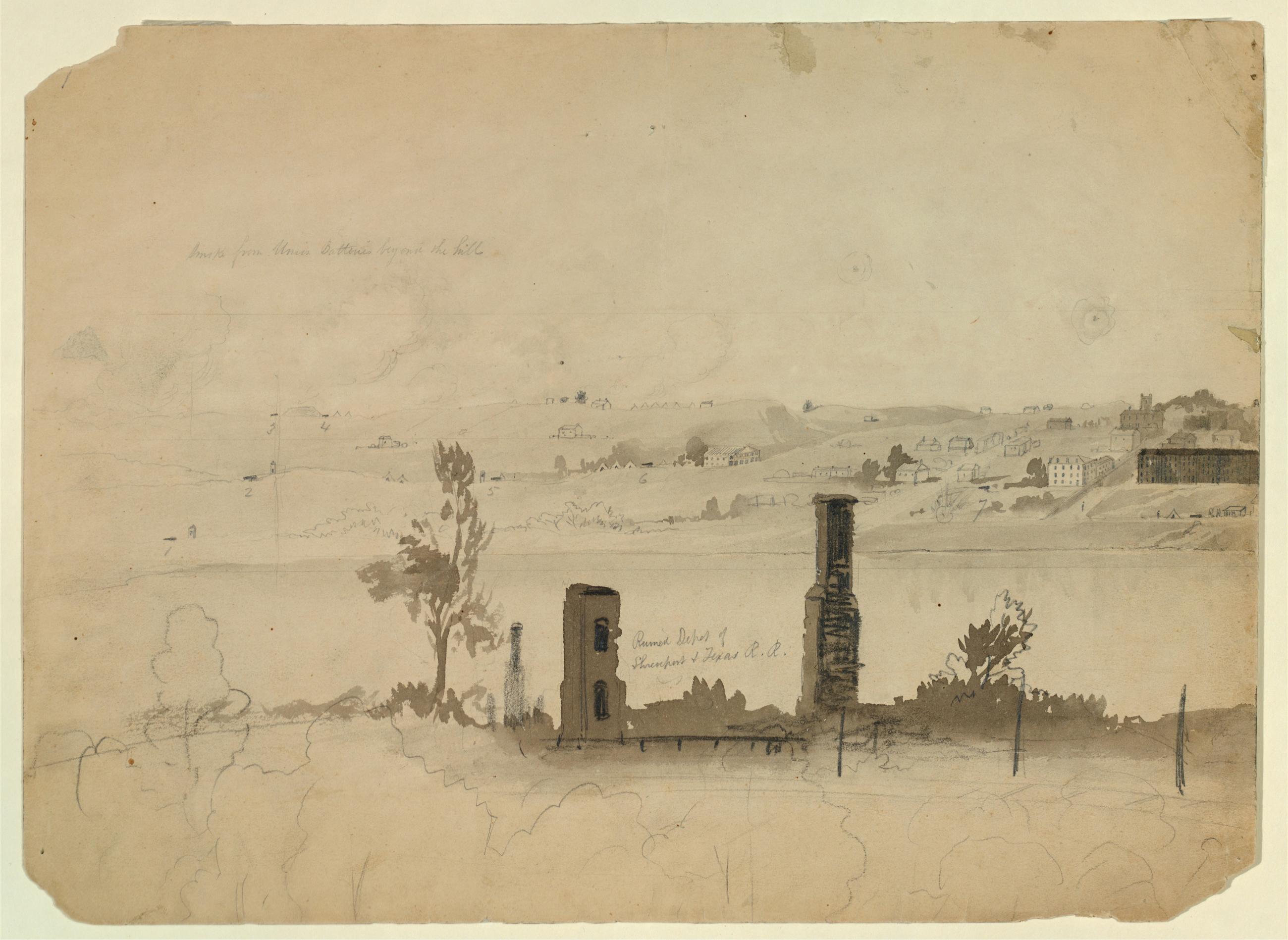
Siege of Vicksburg, Mississippi: Ruined Depot of Shreveport and Texas Railroad. Siege of Vicksburg, Mississippi: Ruined Depot of Shreveport and Texas Railroad. Drawing: Graphite and black ink wash on ivory paper. 9 5/8 x 13 1/4 in. A demolished depot, with one wall and a chimney remaining, appears in the foreground. Beyond is a landscape dotted with houses and larger buildings. Smoke appears from behind distant hills. Inscribed at upper left in graphite: 'smoke from Union Batteries beyond the hills.' At lower center: 'Ruined depot of / Shreveport & Texas R.R.' View Item
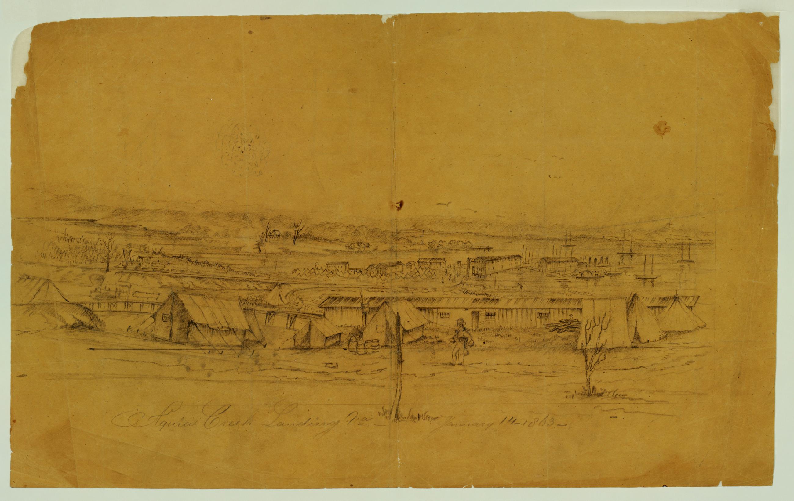
View of Aquia Creek Landing, Virginia. View of Aquia Creek Landing, Virginia. Drawing: Graphite on oiled ochre tracing paper. 12 x 19 1/2 in. View of an army camp and barracks in the foreground; town buildings, port and ships in the background. Inscribed at lower center in graphite: 'Aquia Creek Landing Va January 14--1863--'. View Item
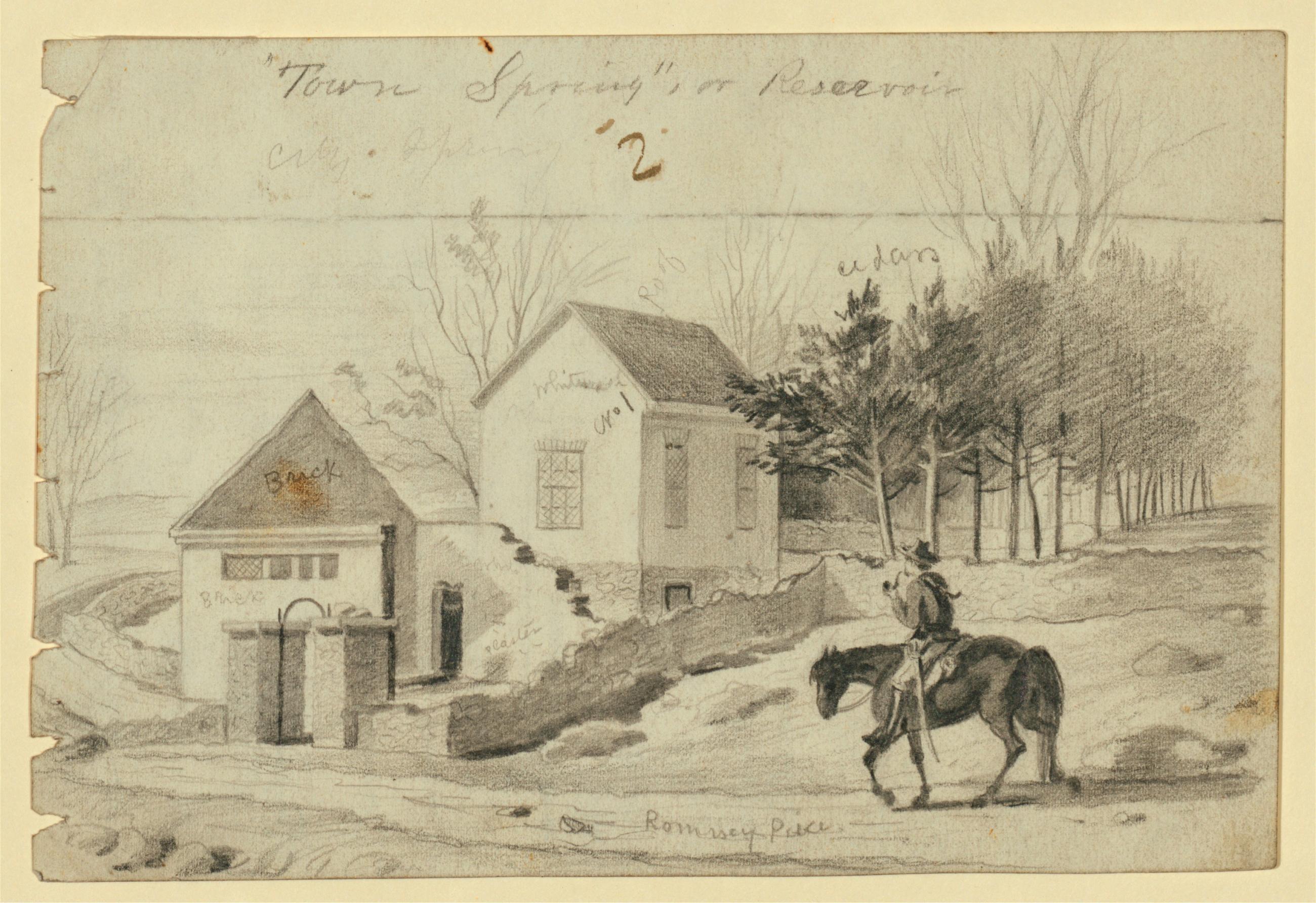
Town Spring' or Reservoir, Winchester, Virginia (recto). Town Spring' or Reservoir, Winchester, Virginia (recto). Drawing: Graphite on paper 7 1/8 x 4 7/8 in. Man on horseback approaches two small buildings, surrounded with trees and stone walls. Signed at lower center in graphite: 'Romsey Price.' Inscribed at upper center: 'Town Spring' or Reservoir.' Various other annotations describe the drawn objects. View Item
Image Collection 42 Items Cass Gilbert presentation drawings, circa 1900-1935 This digital collection highlights 41 presentation drawings from the Cass Gilbert Architectural Collection at the New-York Historical Society. A list of Gilbert's best-known structures indicates the national scope and large scale of his commissions: the Minnesota State Capitol; United States Custom House, New York; St. Louis Art Museum; West Street Building, New York; his masterpiece, the Woolworth Building, New York; New York Life Insurance Building; and the United States Supreme Court, Washington, D.C. View Collection
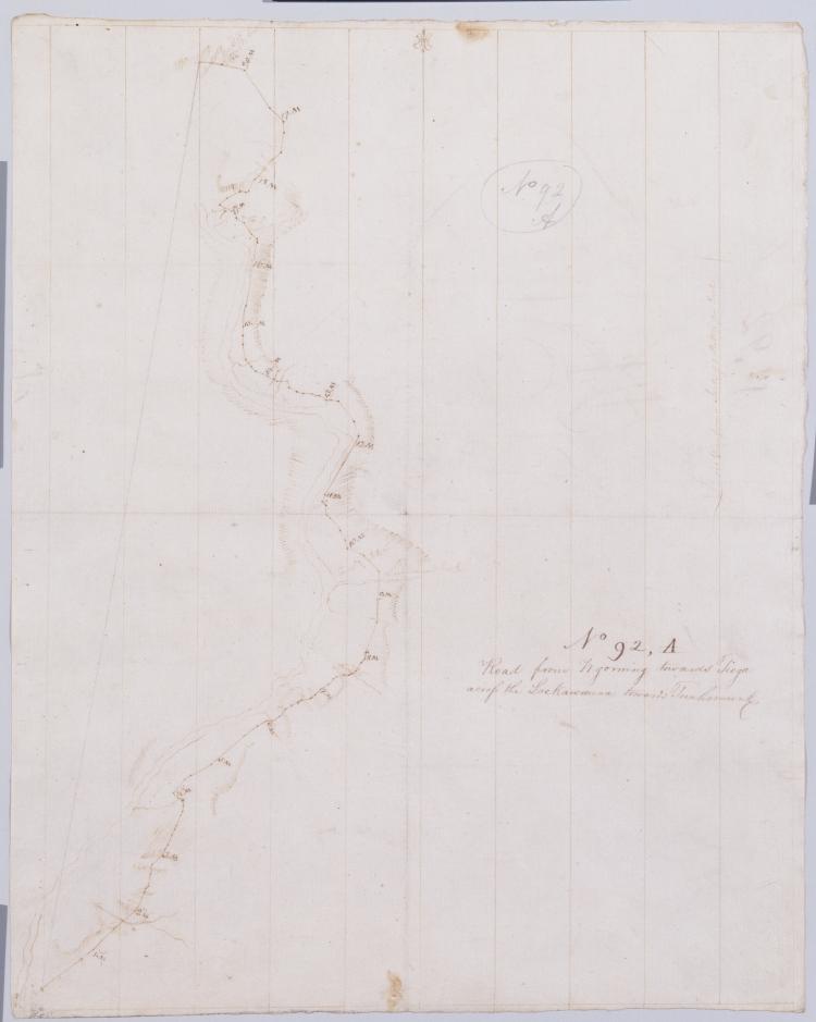
Image Collection 288 Items Robert Erskine-Simeon DeWitt maps, 1778-1783 This series of field sketches and finished maps of projected battle sites in New York, New Jersey, Connecticut and Pennsylvania during the Revolutionary war was begun by Robert Erskine, geographer and surveyor-general to the Continental Army, and completed by his successor, Simeon De Witt. Robert Erskine (1735-1780) was appointed Geographer to Washington's army in 1777. He surveyed both sides of the Hudson River and a large area covering the adjoining states. Many of the maps are rough field sketches, from which more detailed maps were later drawn. View Collection