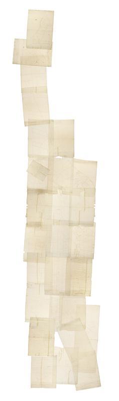
Still Image [Cadastral map of Manhattan]. Scale [ca. 1:2,450]. Digital composite of a cadastral map of Manhattan in 26 sections on 13 sheets which appears to be a draft for another map, owned by New York City and printed in Sackersdorff, Otto. Maps of farms, commonly called the Blue Book 1815 (New York: 1868). Shows property lines and owners' names, some existing roads and projected streets. Shows relief by hachures. Pen-and-ink, watercolor on paper. Sackersdorff gives the date of the manuscript map as circa 1815. Title and edition statement devised by cataloger. Attributed to Randel by cataloger; for provenance, see Stokes, I.N.P. View Item
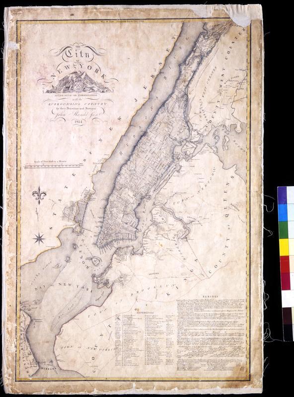
Still Image The City of New York as laid out by the Commissioners with the surrounding country / by their secretary and surveyor John Randel, Junr. Street planning map. Covers all of Manhattan Island (New York, N.Y.) and substantial parts of adjacent counties in New York and New Jersey. Shows existing and proposed streets; also buildings and other structures, streams and other wetlands, political boundaries. Includes extensive "REMARKS," also a key to New York City buildings. Pen-and-ink, watercolor on paper. Shows relief by hachures. Imperfect: lacking 4 x 9 and 2 x 5 cm. upper right corner, 2 x 2 cm. upper left side. References: Cohen, Paul E. and Robert T. Augustyn. Manhattan in Maps. NY: Rizzoli, 1997, p. 106ff; Stokes, I.N. Phelps. View Item