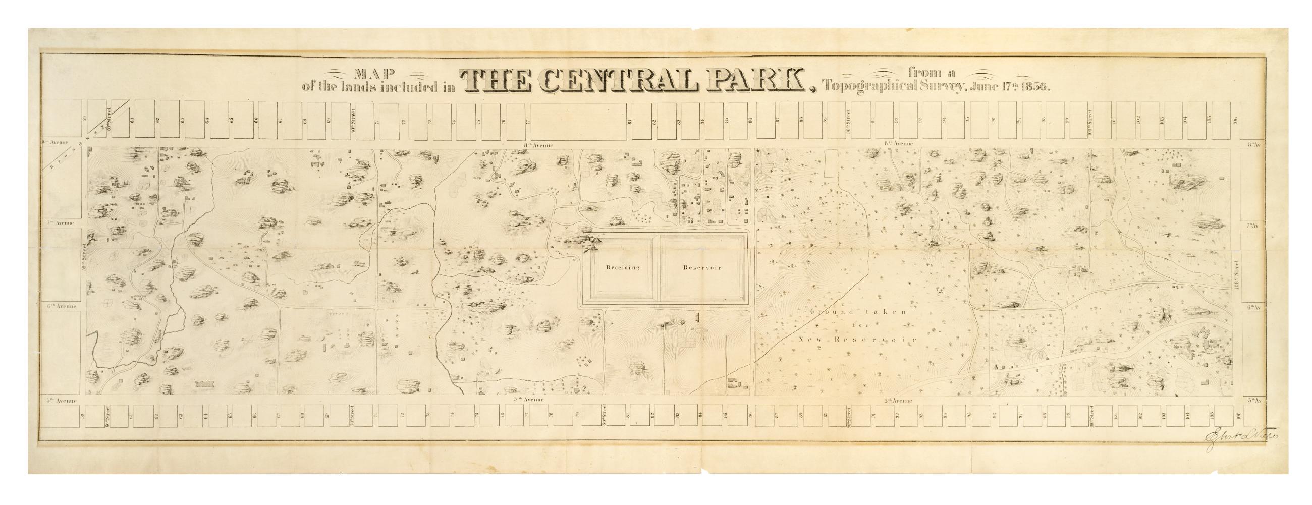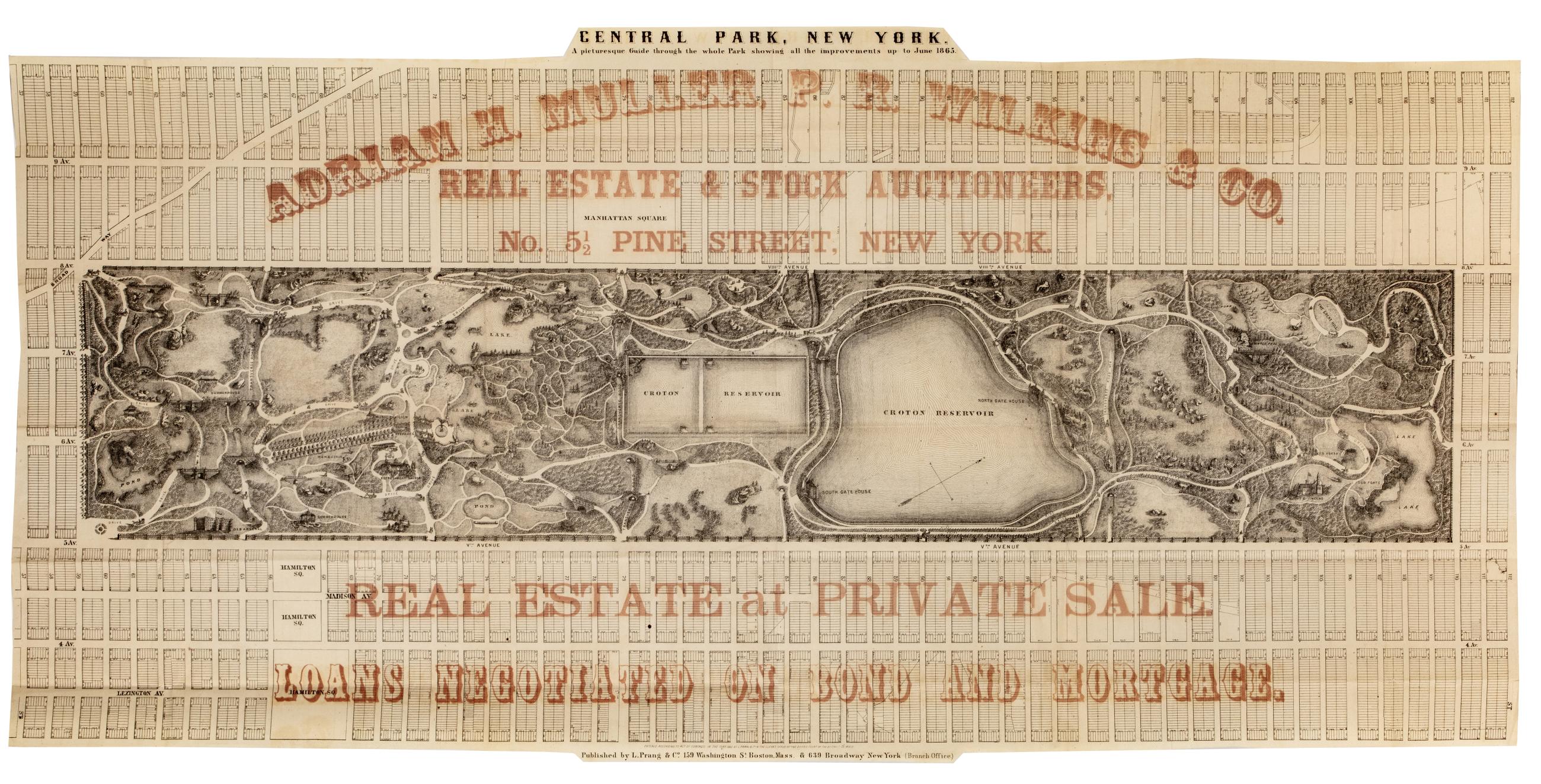
Cartographic
Central Park, New York : a picturesque guide through the whole park showing all the improvements up to June 1865
Park map. Covers the area later bounded by 57th and 112th Streets, Third and Amsterdam Avenues, Manhattan, New York (N.Y.). Shows roads, trails, bridges, buildings, reservoir, gardens and plantings pictorially. Also shows landforms and streams. Oriented with north to right of sheet. "Entered according to act of Congress in the year 1865, by L. Prang & Co, in the Clerk's Office of the District Court of the District of Mass." Overprinted in red ink with: "Adrian H. Muller, P.R. Wilkins & Co., real estate and stock auctioneers, No. 5 1/2 Pine Street, New York.
View Item