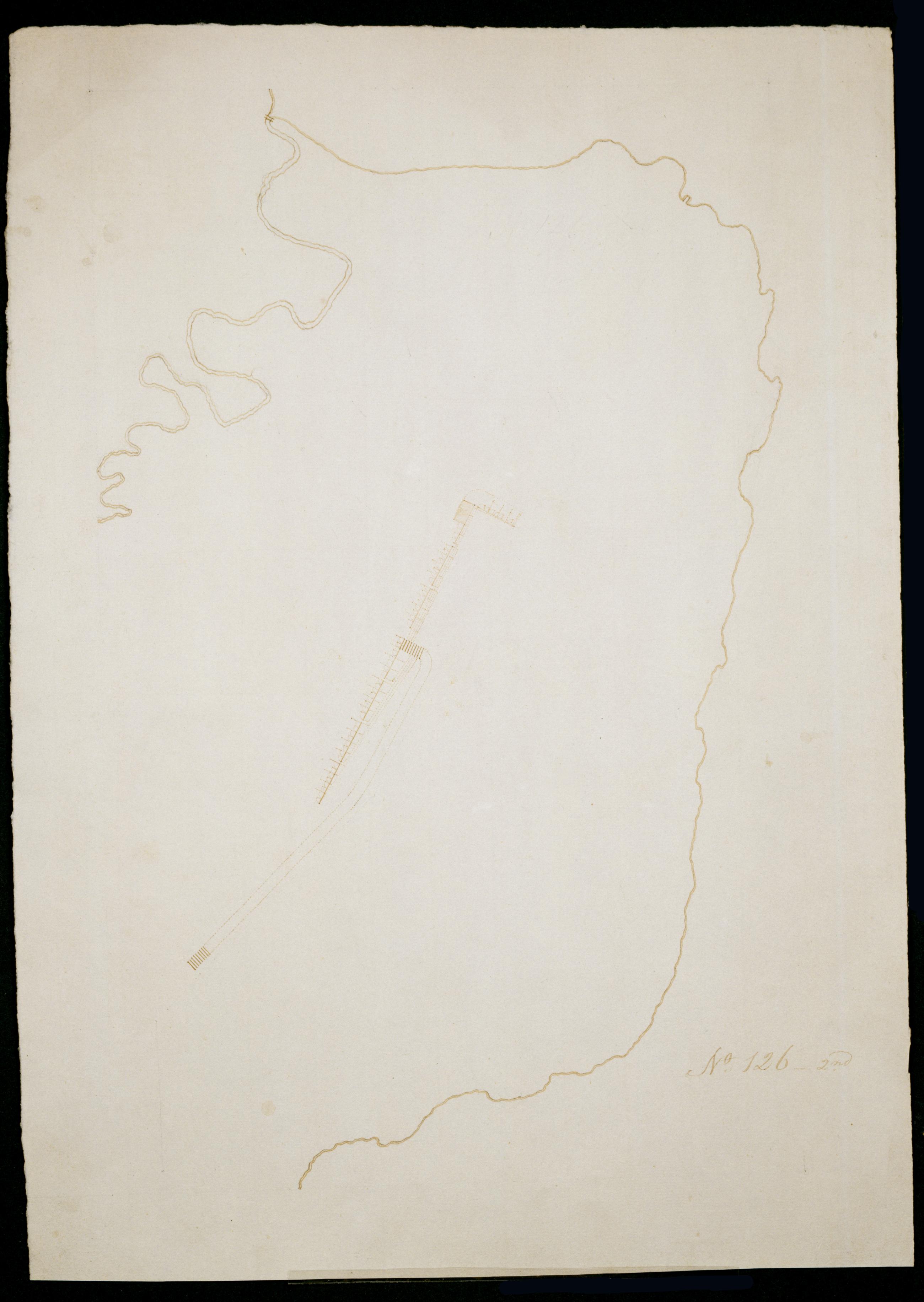
Cartographic Camp at Verplancks Point No. 126-2nd / by Robert Erskine F.R.S. Geogr. A. U.S. and Assistants. Date inferred by cataloger. In erased pencil on recto: "No. 126 2[nd]". Military fortification map. Covers the southern half of Verplanck's Point in the town of Cortlandt, New York. Appears to show barracks--compare Rice and Brown. American Campaigns of Rochambeau's Army. Princeton: 1972, v. 2, pl. 146; also compare pencil annotations on the engraved map entitled "Plan of Stoney and Verplanks Points and of the works of the British Army at that post...." Map also shows stream now Lake Meahach. Oriented with north to bottom of sheet. Pen-and-ink, pencil on laid paper. Soiled and abraded. View Item
Cartographic Camp at Verplancks Point No. 126-2nd / by Robert Erskine F.R.S. Geogr. A. U.S. and Assistants. Date inferred by cataloger. In erased pencil on recto: "No. 126 2[nd]". Military fortification map. Covers the southern half of Verplanck's Point in the town of Cortlandt- New York. Appears to show barracks--compare Rice and Brown. American Campaigns of Rochambeau's Army. Princeton: 1972- v. 2- pl. 146; also compare pencil annotations on the engraved map entitled "Plan of Stoney and Verplanks Points and of the works of the British Army at that post...." Map also shows stream now Lake Meahach. Oriented with north to bottom of sheet. Pen-and-ink- pencil on laid paper. Soiled and abraded. View Item