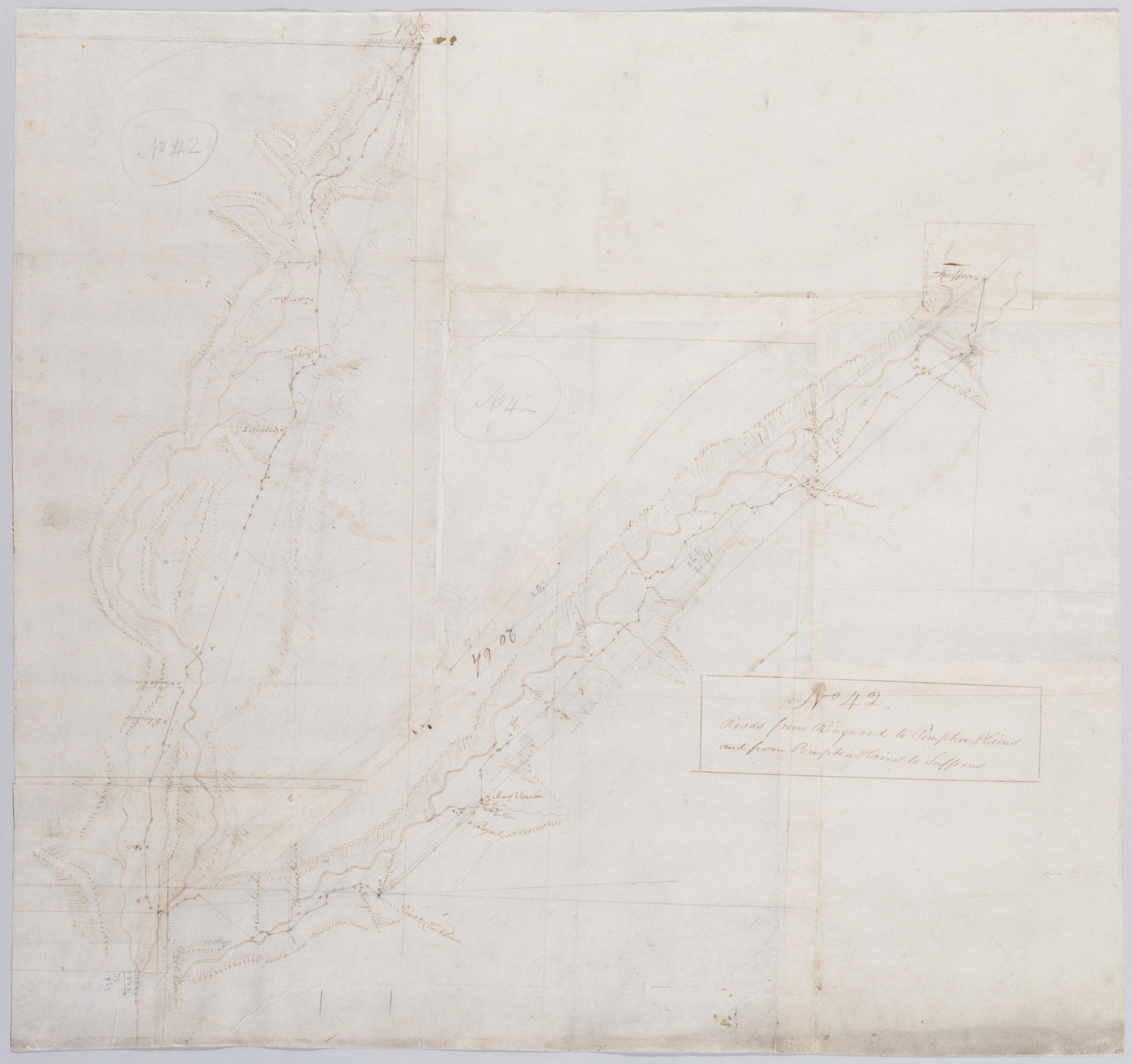
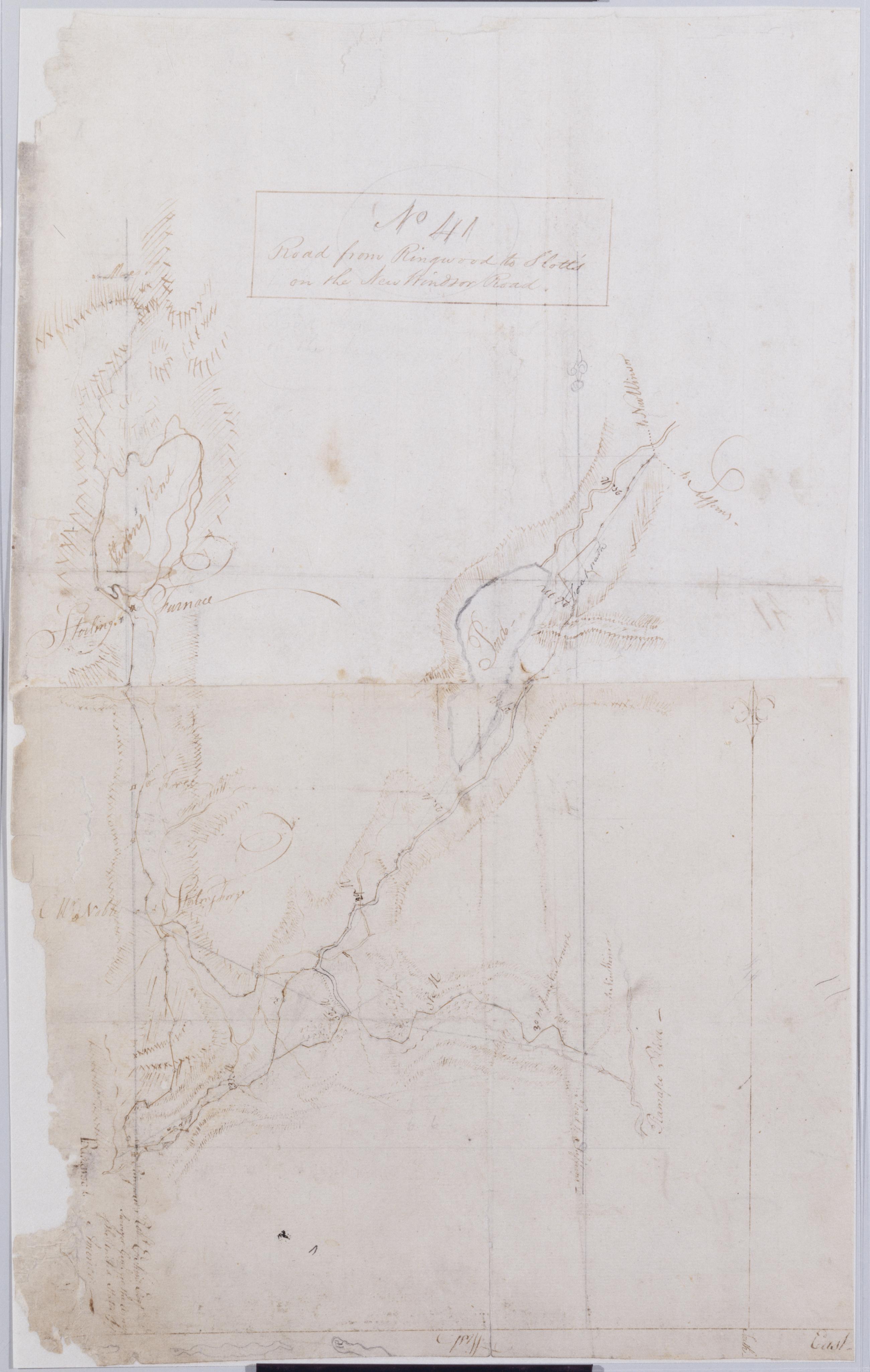
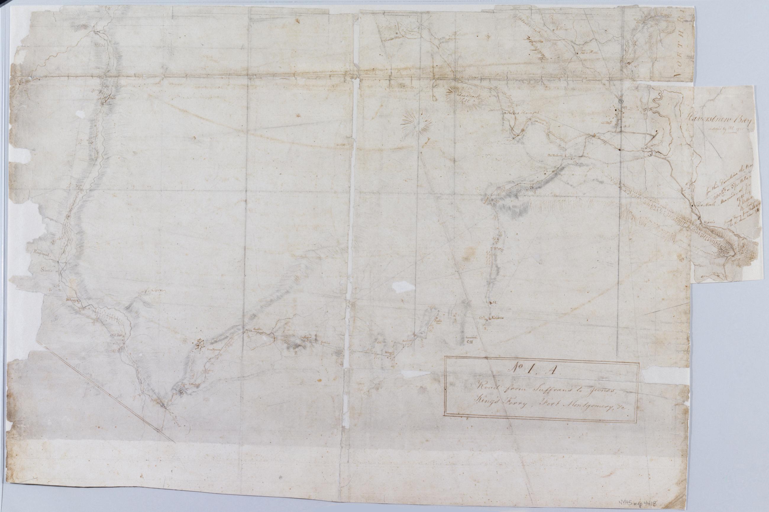
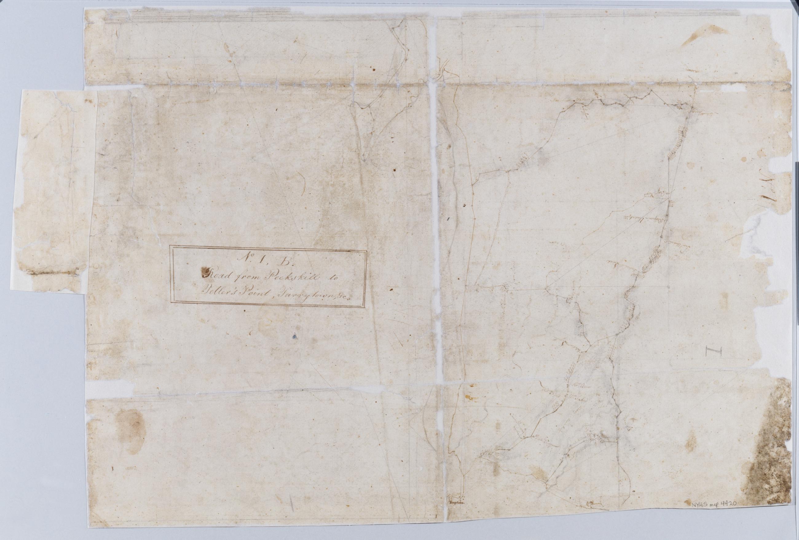
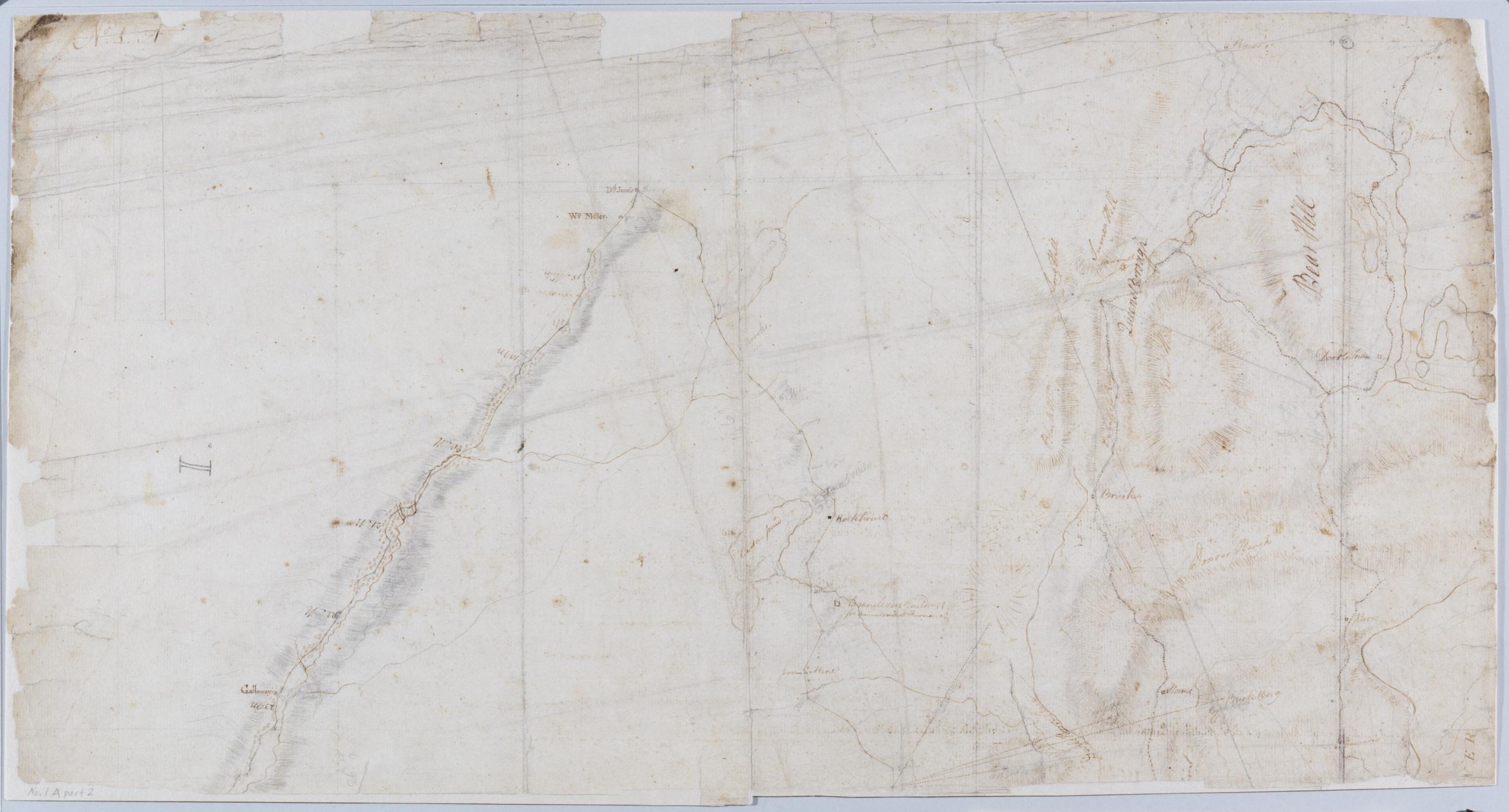
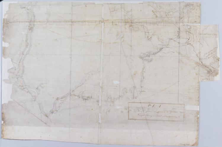
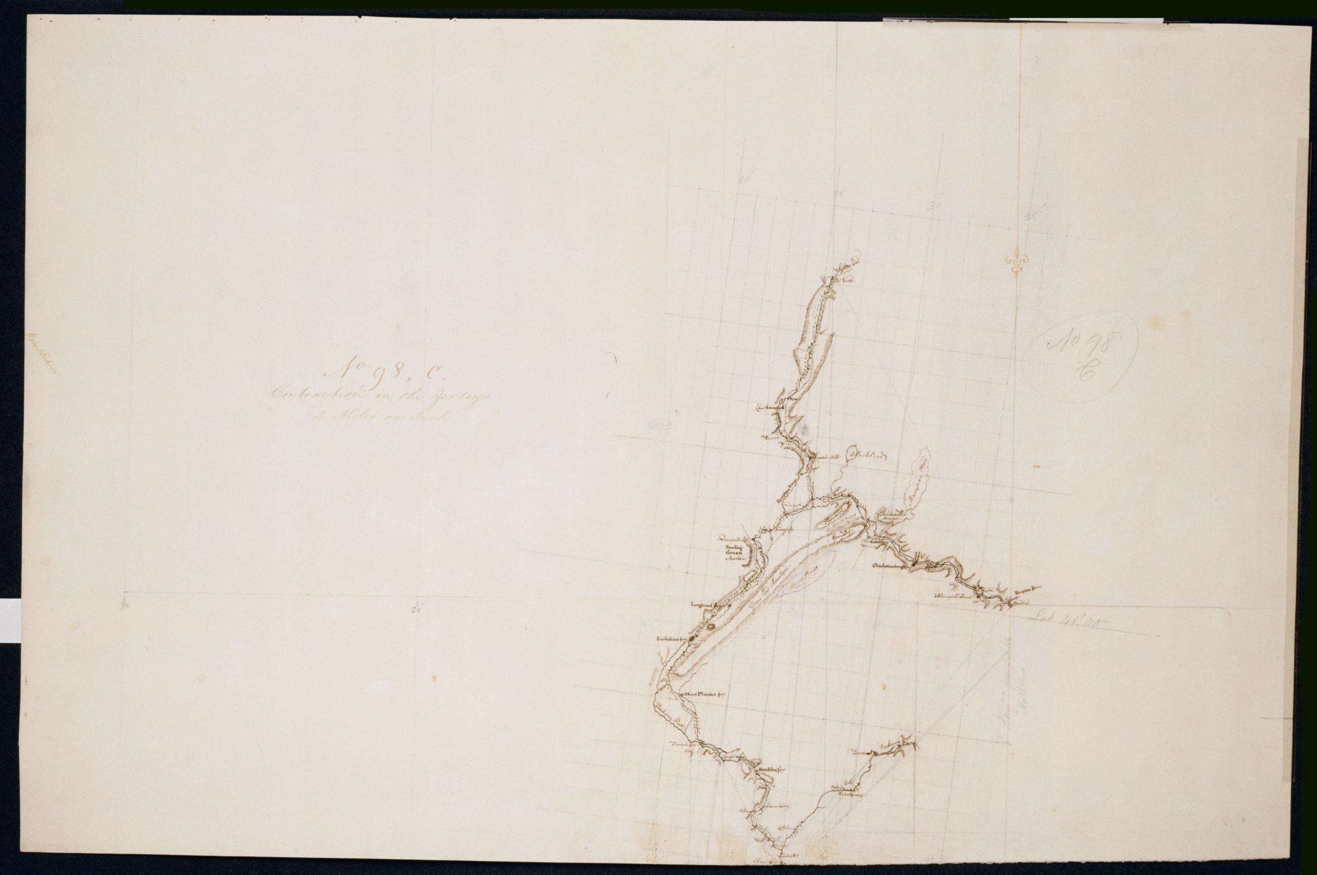
Cartographic Roads from Ringwood to Pompton Plains and from Pompton Plains to Sufferns. No 42 / by Robert Erskine F.R.S. Geogr. A. U.S. and Assistants. Also in ink on verso: "42". Foxed, creased, frayed, and abraded. Mounted on cloth, bound and cropped, disbound and silked by subsequent owners. Cleaned after removal of backings 1999; some fill remains. Sheathed in mylar. In pencil on recto: "No 42" (twice). Military topographic map. Covers the townships of Franklin and Hohokus in Bergen County, New Jersey; of Pompton in Passaic County, New Jersey; and of Ramapo in Rockland County, New York. Shows roads running though Ringwood, Erskine, Ringwood Junction, Midvale, Wanaque, Haskell, Pompton Lakes, Oakland, Darlington and Suffern. View Item
Cartographic Road from Ringwood to Slott's on the New Windsor Road. No 41 / by Robert Erskine F.R.S. Geogr. A. U.S. and Assistants. Foxed, creased, frayed, and abraded. Mounted on cloth, bound and cropped, disbound and silked by subsequent owners. Cleaned after removal of backings 1999; some fill remains. Sheathed in mylar. Map label at Ringwood: "Robt. Erskine Esqr. Surveyor Genl. for the Army of the United States of America--". Military topographic map. Covers the townships of Werwick and Tuxedo in Orange County, New York, Ramapo in Rockland County, New York, and Pompton in Passaic County, New Jersey. Shows roads running though Lakeville, Sterling Furnace, Ringwood, Eagle Valley, Sloatsburg and the Tuxedo Lake area. View Item
Cartographic Contraction in the Jerseys. No 98, C / Large Paper by Capt. Scull ; by Robert Erskine F.R.S. Geogr. A. U.S. and Assistants. Foxed, stained, soiled, creased and abraded. Mounted on cloth, bound and cropped, disbound and silked by subsequent owners. Cleaned after removal of backings 1999; some fill remains. Sheathed in mylar. In ink on verso: "No. 98 C". In pencil on recto and twice on verso: "No. 98 C". Military topographic map. Covers parts of Morris, Passaic and Sussex counties in New Jersey. Also shows buildings and owners' names, landforms and streams. Pen-and-ink, pencil on laid paper. Shows relief by hachures. View Item
Cartographic Road from Suffrans to June's, King's Ferry, Fort Montgomery, +c. No 1, A ; Road from Peekskill to Teller's Point, Tarrytown, +c. No 1, B / by Robert Erskine F.R.S. Geogr. A. U.S. and Assistants, 1B, part 2 Military topographic maps. Map 1A on recto covers the towns of Woodbury and Tuxedo in Orange County, and of Highland, Stoney Point, Haverstraw and Ramapo in Rockland County, New York; it shows roads running through Fort Montgomery, West Haverstraw, Hempstead, Viola, Suffern, Ramapo, Sloatsburg, Tuxedo, Southfield, Arden, Willow Grove and Thiells. Map 1B on verso covers the towns of Cortlandt, Newcastle, Ossining and Mt. View Item
Cartographic Road from Suffrans to June's, King's Ferry, Fort Montgomery, +c. No 1, A ; Road from Peekskill to Teller's Point, Tarrytown, +c. No 1, B / by Robert Erskine F.R.S. Geogr. A. U.S. and Assistants., 1A, part 1 Military topographic maps. Map 1A on recto covers the towns of Woodbury and Tuxedo in Orange County, and of Highland, Stoney Point, Haverstraw and Ramapo in Rockland County, New York; it shows roads running through Fort Montgomery, West Haverstraw, Hempstead, Viola, Suffern, Ramapo, Sloatsburg, Tuxedo, Southfield, Arden, Willow Grove and Thiells. Map 1B on verso covers the towns of Cortlandt, Newcastle, Ossining and Mt. View Item
Cartographic Road from Suffrans to June's, King's Ferry, Fort Montgomery, +c. No 1, A ; Road from Peekskill to Teller's Point, Tarrytown, +c. No 1, B / by Robert Erskine F.R.S. Geogr. A. U.S. and Assistants, 1B, part 1 Military topographic maps. Map 1A on recto covers the towns of Woodbury and Tuxedo in Orange County, and of Highland, Stoney Point, Haverstraw and Ramapo in Rockland County, New York; it shows roads running through Fort Montgomery, West Haverstraw, Hempstead, Viola, Suffern, Ramapo, Sloatsburg, Tuxedo, Southfield, Arden, Willow Grove and Thiells. Map 1B on verso covers the towns of Cortlandt, Newcastle, Ossining and Mt. View Item
Cartographic Road from Suffrans to June's, King's Ferry, Fort Montgomery, +c. No 1, A ; Road from Peekskill to Teller's Point, Tarrytown, +c. No 1, B / by Robert Erskine F.R.S. Geogr. A. U.S. and Assistants, 1A, part 2 Military topographic maps. Map 1A on recto covers the towns of Woodbury and Tuxedo in Orange County, and of Highland, Stoney Point, Haverstraw and Ramapo in Rockland County, New York; it shows roads running through Fort Montgomery, West Haverstraw, Hempstead, Viola, Suffern, Ramapo, Sloatsburg, Tuxedo, Southfield, Arden, Willow Grove and Thiells. Map 1B on verso covers the towns of Cortlandt, Newcastle, Ossining and Mt. View Item
Image Cartographic 4 Items Road from Suffrans to June's, King's Ferry, Fort Montgomery, +c. No 1, A ; Road from Peekskill to Teller's Point, Tarrytown, +c. No 1, B / by Robert Erskine F.R.S. Geogr. A. U.S. and Assistants. Military topographic maps. Map 1A on recto covers the towns of Woodbury and Tuxedo in Orange County, and of Highland, Stoney Point, Haverstraw and Ramapo in Rockland County, New York; it shows roads running through Fort Montgomery, West Haverstraw, Hempstead, Viola, Suffern, Ramapo, Sloatsburg, Tuxedo, Southfield, Arden, Willow Grove and Thiells. Map 1B on verso covers the towns of Cortlandt, Newcastle, Ossining and Mt. View Item
Cartographic Roads from Ringwood to Pompton Plains and from Pompton Plains to Sufferns. No 42 / by Robert Erskine F.R.S. Geogr. A. U.S. and Assistants. Also in ink on verso: "42". Foxed- creased- frayed- and abraded. Mounted on cloth- bound and cropped- disbound and silked by subsequent owners. Cleaned after removal of backings 1999; some fill remains. Sheathed in mylar. In pencil on recto: "No 42" (twice). Military topographic map. Covers the townships of Franklin and Hohokus in Bergen County- New Jersey; of Pompton in Passaic County- New Jersey; and of Ramapo in Rockland County- New York. Shows roads running though Ringwood- Erskine- Ringwood Junction- Midvale- Wanaque- Haskell- Pompton Lakes- Oakland- Darlington and Suffern. View Item
Cartographic Road from Ringwood to Slott's on the New Windsor Road. No 41 / by Robert Erskine F.R.S. Geogr. A. U.S. and Assistants. Foxed- creased- frayed- and abraded. Mounted on cloth- bound and cropped- disbound and silked by subsequent owners. Cleaned after removal of backings 1999; some fill remains. Sheathed in mylar. Map label at Ringwood: "Robt. Erskine Esqr. Surveyor Genl. for the Army of the United States of America--". Military topographic map. Covers the townships of Werwick and Tuxedo in Orange County- New York- Ramapo in Rockland County- New York- and Pompton in Passaic County- New Jersey. Shows roads running though Lakeville- Sterling Furnace- Ringwood- Eagle Valley- Sloatsburg and the Tuxedo Lake area. View Item
Cartographic Contraction in the Jerseys. No 98 C / Large Paper by Capt. Scull ; by Robert Erskine F.R.S. Geogr. A. U.S. and Assistants. Foxed- stained- soiled- creased and abraded. Mounted on cloth- bound and cropped- disbound and silked by subsequent owners. Cleaned after removal of backings 1999; some fill remains. Sheathed in mylar. In ink on verso: "No. 98 C". In pencil on recto and twice on verso: "No. 98 C". Military topographic map. Covers parts of Morris- Passaic and Sussex counties in New Jersey. Also shows buildings and owners' names- landforms and streams. Pen-and-ink- pencil on laid paper. Shows relief by hachures. View Item
Cartographic Road from Suffrans to June's King's Ferry Fort Montgomery +c. No 1 A ; Road from Peekskill to Teller's Point Tarrytown +c. No 1 B / by Robert Erskine F.R.S. Geogr. A. U.S. and Assistants. Military topographic maps. Map 1A on recto covers the towns of Woodbury and Tuxedo in Orange County- and of Highland- Stoney Point- Haverstraw and Ramapo in Rockland County- New York; it shows roads running through Fort Montgomery- West Haverstraw- Hempstead- Viola- Suffern- Ramapo- Sloatsburg- Tuxedo- Southfield- Arden- Willow Grove and Thiells. Map 1B on verso covers the towns of Cortlandt- Newcastle- Ossining and Mt. View Item