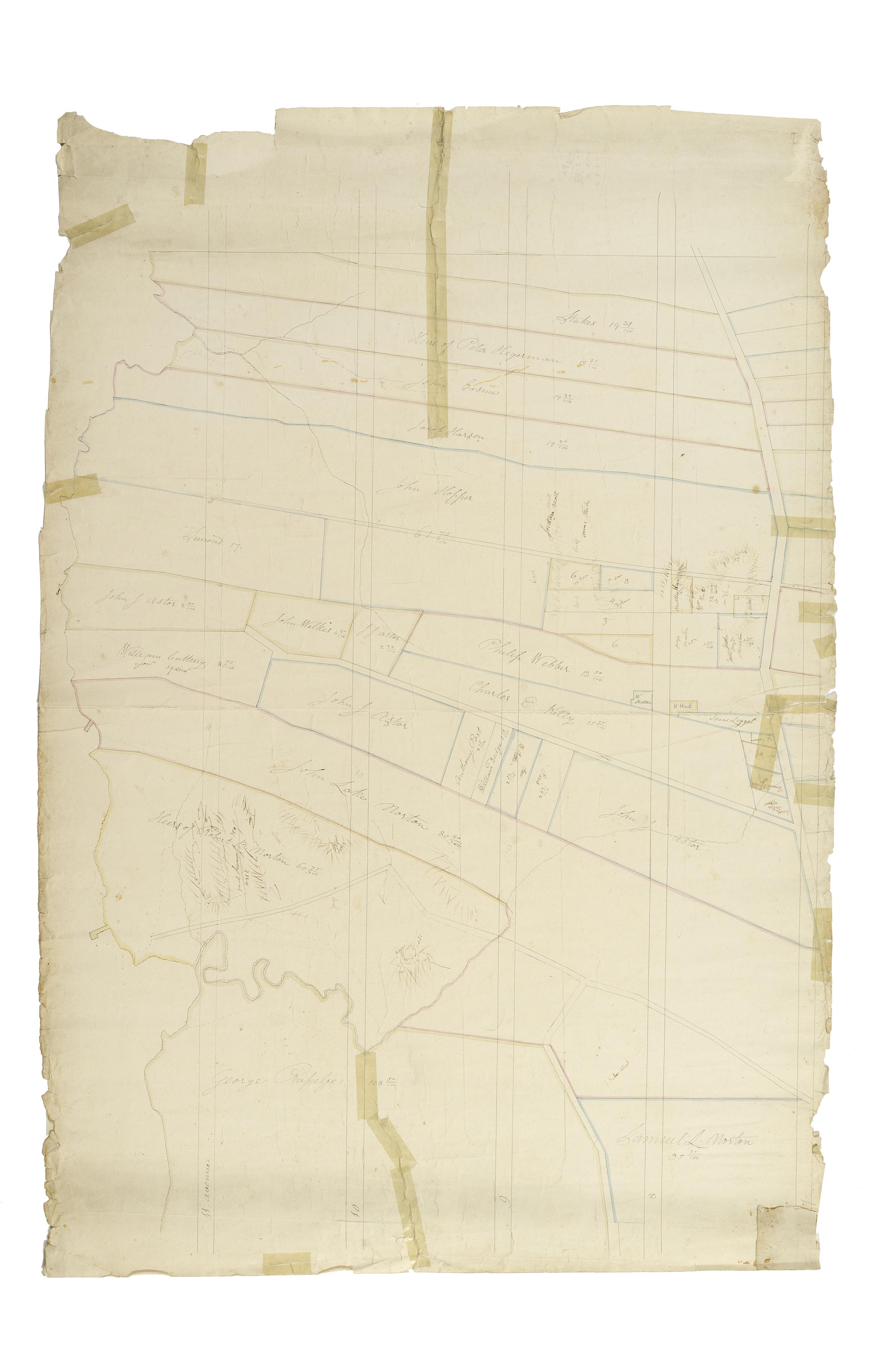
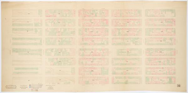
Still Image [Map of the area later bounded by 35th and 57th Streets, 7th and 11th Avenues, Manhattan, New York, N.Y.]. Scale [ca. 1:2,450]. Cadastral map. Shows property lines and owners' names, some existing roads and projected streets. Shows relief by hachures. Pen-and-ink, watercolor on paper. Annotations in a later hand on the recto of this sheet give the number 7. The map on recto of this sheet belongs to the same series and is separately cataloged under the title, [Map of the area later bounded by 30th and 53rd Streets, the East River and 5th Avenue, Manhattan, New York, N.Y.]. View Item
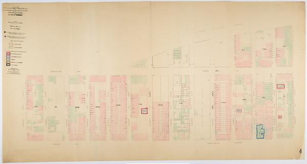
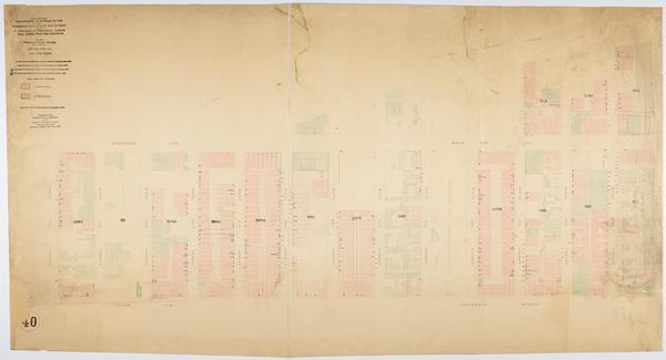
Still Image Map showing over-crowding of the buildings on the lots and the consequent lack of light and air space also strong-holds of poverty and agencies for betterment in the tenement house district bounded by 12th & 13th Ave., 7th Avenue, 38th, 30th Streets / pre Scale [ca. 1:650]. View Item
Still Image Map showing over-crowding of the buildings on the lots and the consequent lack of light and air space also strong-holds of poverty and agencies for betterment in the tenement house district bounded by 12th & 13th Ave., 7th Avenue, 52nd, 46th Streets / pre Scale [ca. 1:650]. View Item
Still Image Map showing over-crowding of the buildings on the lots and the consequent lack of light and air space also strong-holds of poverty and agencies for betterment in the tenement house district bounded by 12th Ave., 9th Avenue, 57th, 52nd Streets / prepared f Scale [ca. 1:650]. View Item
Still Image Map showing over-crowding of the buildings on the lots and the consequent lack of light and air space also strong-holds of poverty and agencies for betterment in the tenement house district bounded by 12th Ave., 10th Ave, 70th, 57th Streets / prepared for Scale [ca. 1:650]. Oriented with north to upper right of sheet. View Item
Still Image Map showing over-crowding of the buildings on the lots and the consequent lack of light and air space also strong-holds of poverty and agencies for betterment in the tenement house district bounded by 12th & 13th Ave., 7th Avenue, 46th, 38th Streets / pre Scale [ca. 1:650]. View Item
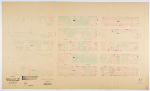
Still Image Map showing over-crowding of buildings on lots and consequent lack of light and air space also the prevalence of tuberculosis, typhoid fever, scarlet fever and diphtheria in the tenement house district bounded by 12th & 13th Ave, 7th Avenue, 52nd, 46th St Scale [ca. 1:650] View Item
Still Image Map showing over-crowding of buildings on lots and consequent lack of light and air space also the prevalence of tuberculosis, typhoid fever, scarlet fever and diphtheria in the tenement house district bounded by 12th & 13th Ave., 7th Avenue, 46th, 38th S Scale [ca. 1:650] View Item
Still Image Map showing over-crowding of buildings on lots and consequent lack of light and air space also the prevalence of tuberculosis, typhoid fever, scarlet fever and diphtheria in the tenement house district bounded by 12th Ave., 10th Ave., 70th, 57th Streets / Scale [ca. 1:650]. Oriented with north to upper right of sheet. View Item
Still Image Map showing over-crowding of buildings on lots and consequent lack of light and air space also the prevalence of tuberculosis, typhoid fever, scarlet fever and diphtheria in the tenement house district bounded by 12th Ave., 9th Avenue, 57th, 52nd Streets Scale [ca. 1:650] View Item
Still Image Map showing over-crowding of buildings on lots and consequent lack of light and air space also the prevalence of tuberculosis, typhoid fever, scarlet fever and diphtheria in the tenement house district bounded by 12th & 13th Ave., 7th Avenue, 38th, 30th S Scale [ca. 1:650] View Item