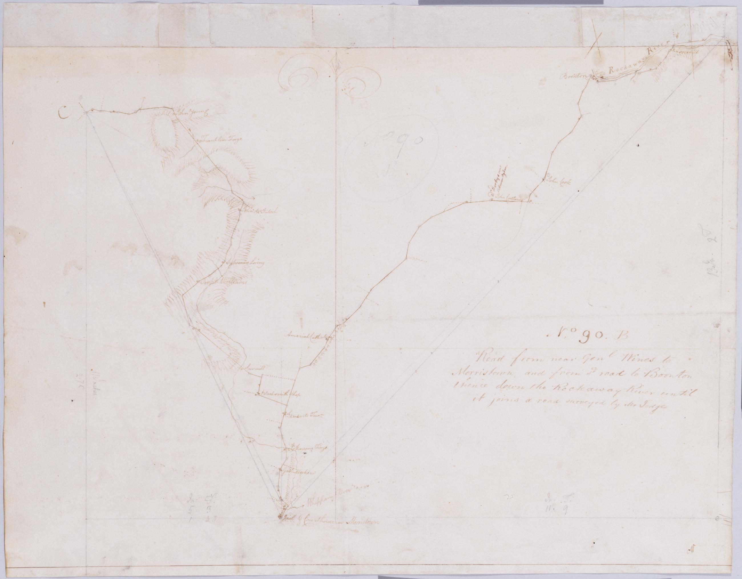
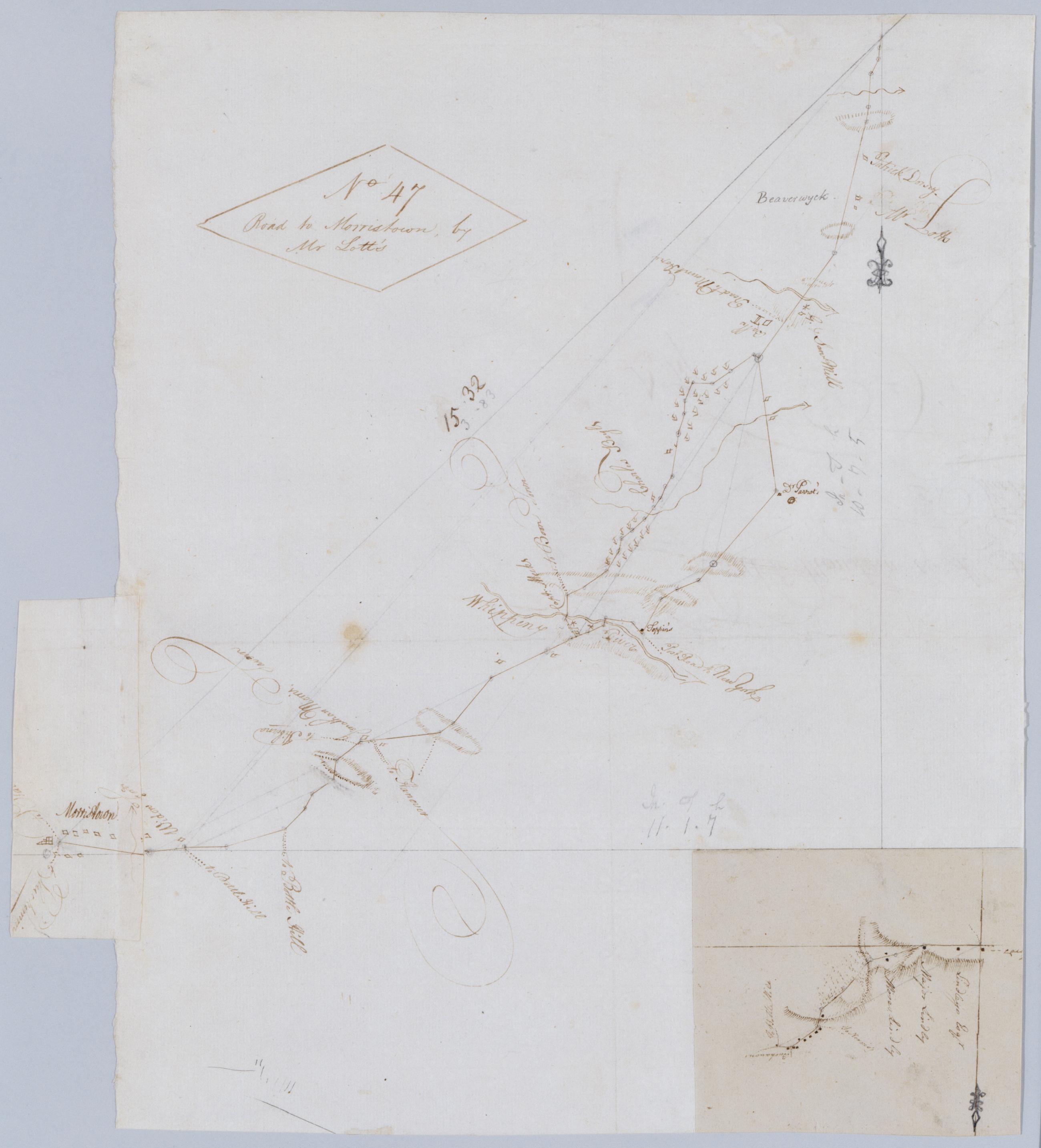
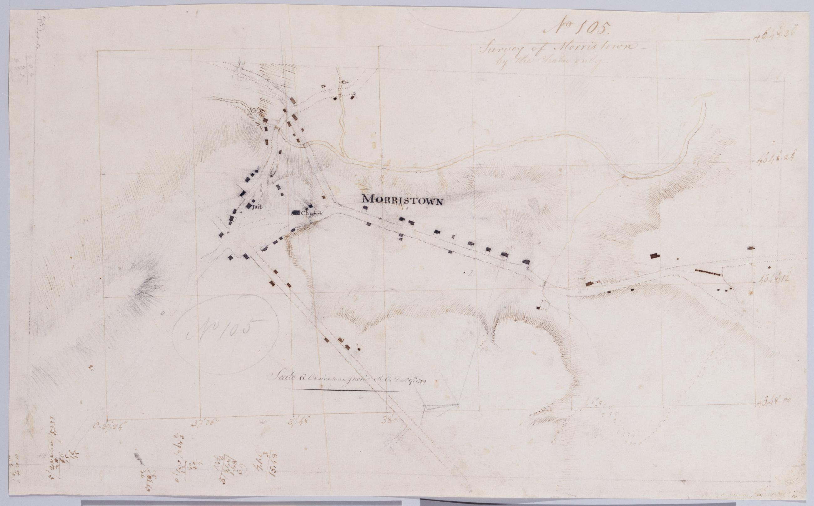
Cartographic
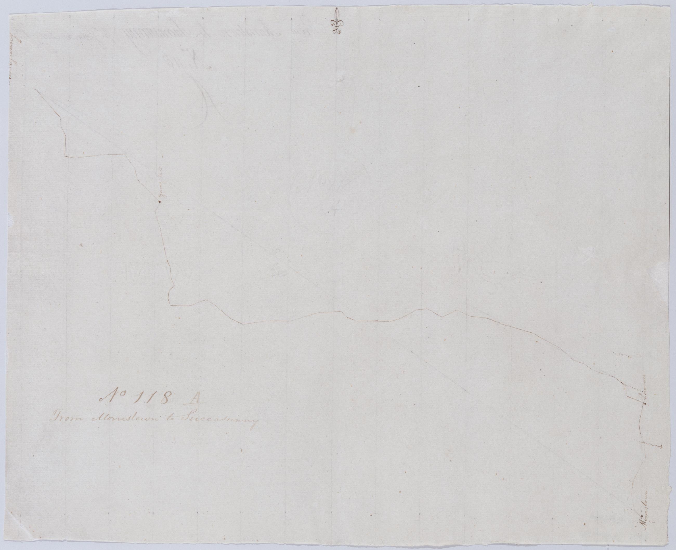
From Morristown to Succasunny. No 118 A / John Armstrong DS ; by J Armstrong ; by Robert Erskine F.R.S. Geogr. A. U.S. and Assistants.
Creased and abraded. Mounted on cloth- bound and cropped- disbound and silked by subsequent owners. Cleaned after removal of backings 1999; some fill remains. Sheathed in mylar. In pencil on recto: "No 118 A". Military topographic map. Covers the townships of Roxbury- Randolph and Morris in Morris County- New Jersey. Shows roads running through Succasunna- Calass Crossroads and Mt. Freedom. Also shows buildings and owners' names- and streams. Pen-and-ink- pencil on laid paper. Title proper from recto is the work of a later editor--Simeon DeWitt or his assign--subsequent to 1820.
View Item