Cartographic
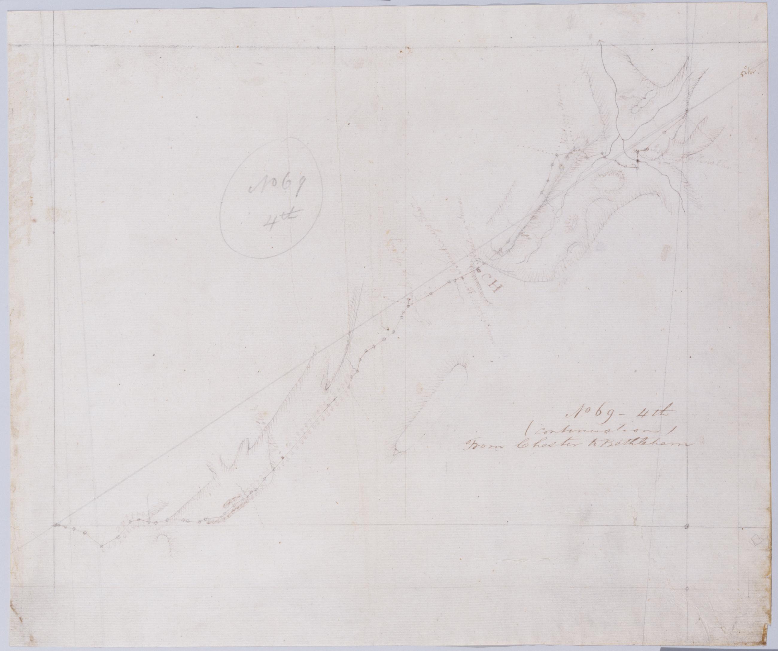
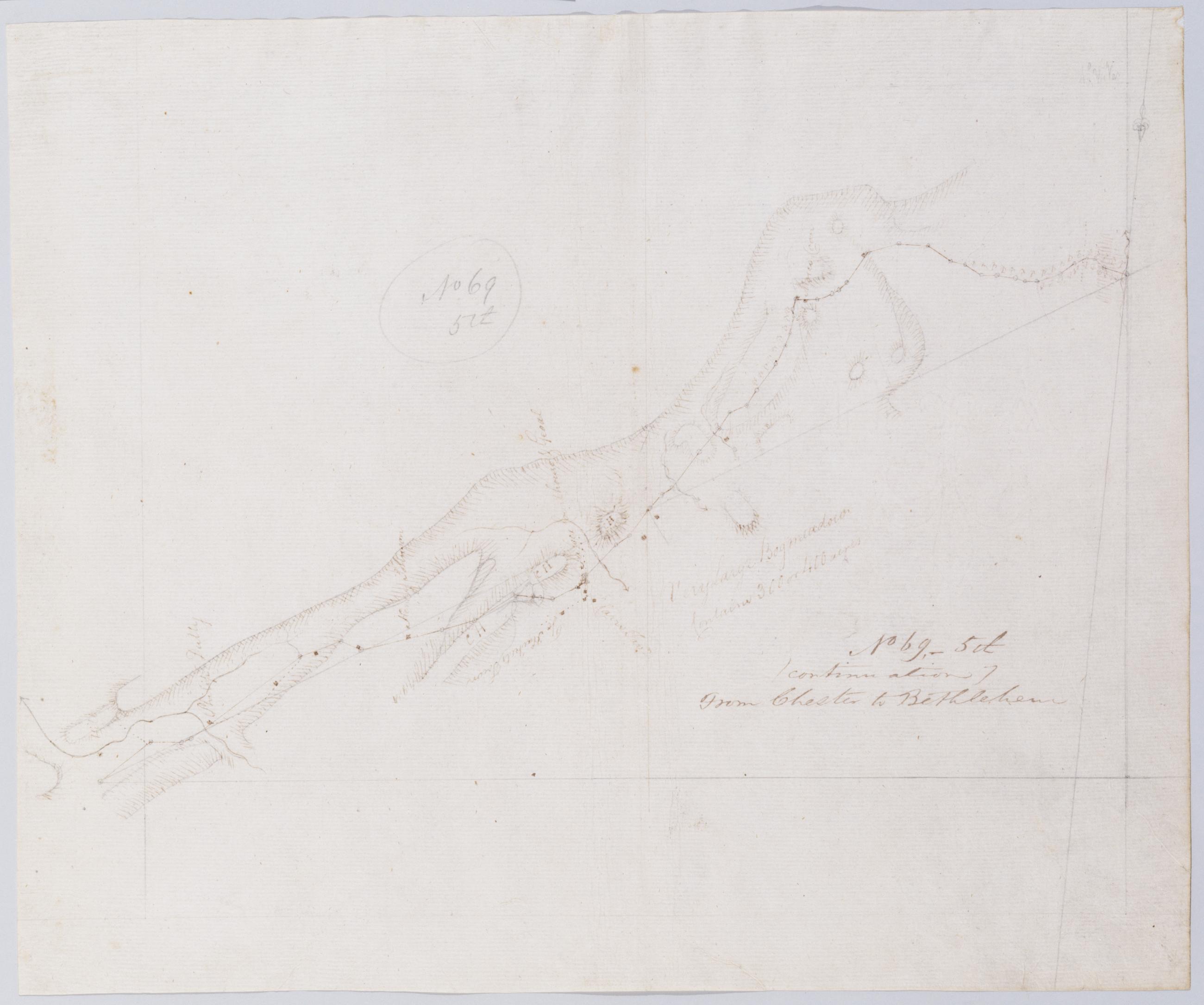
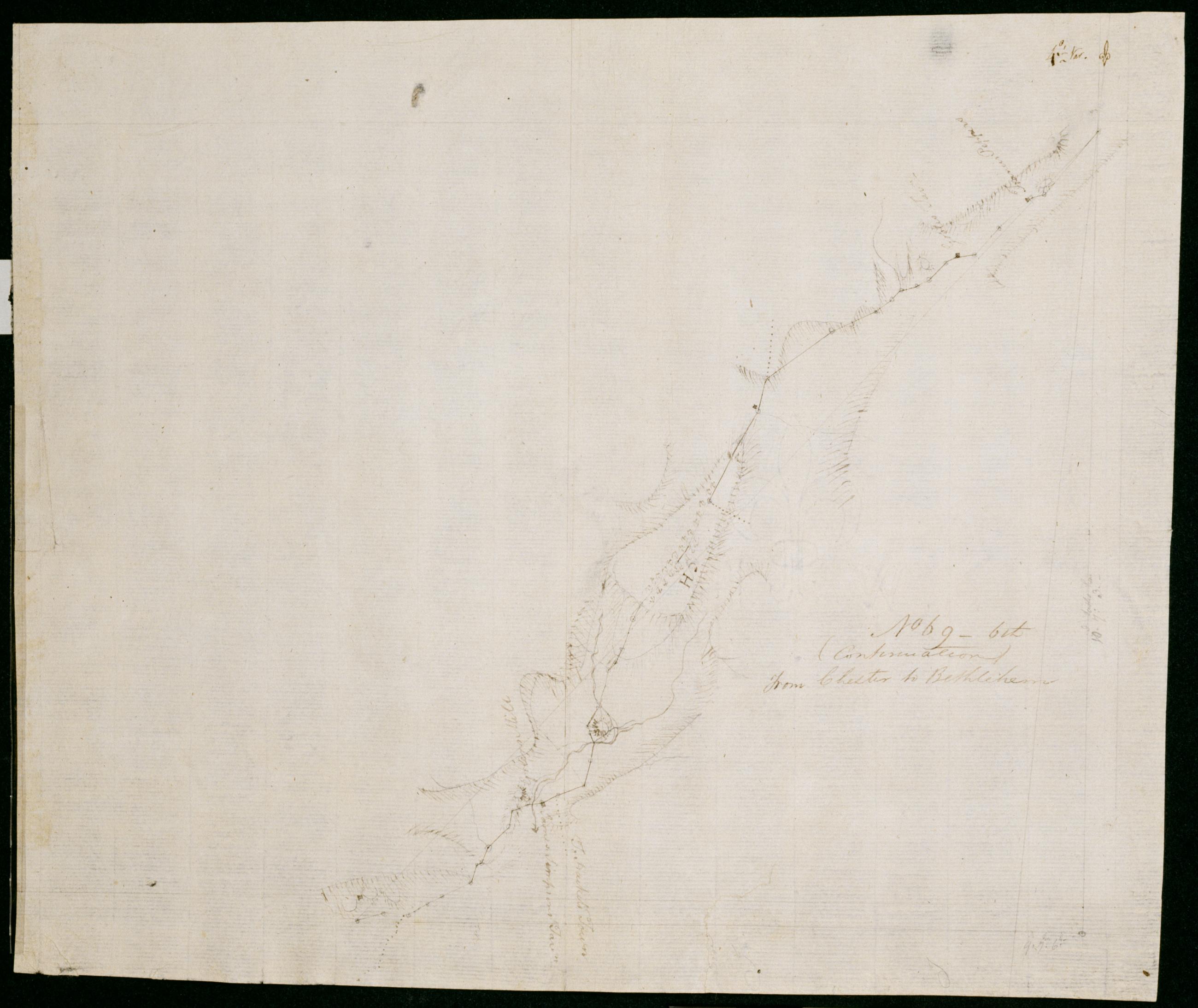
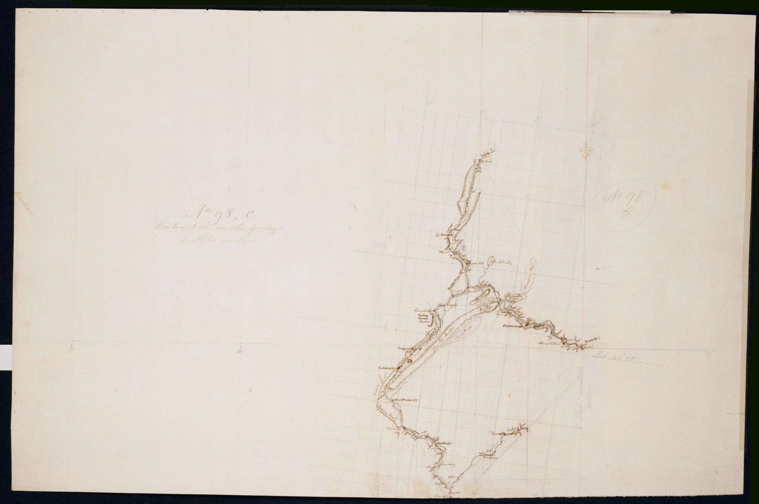
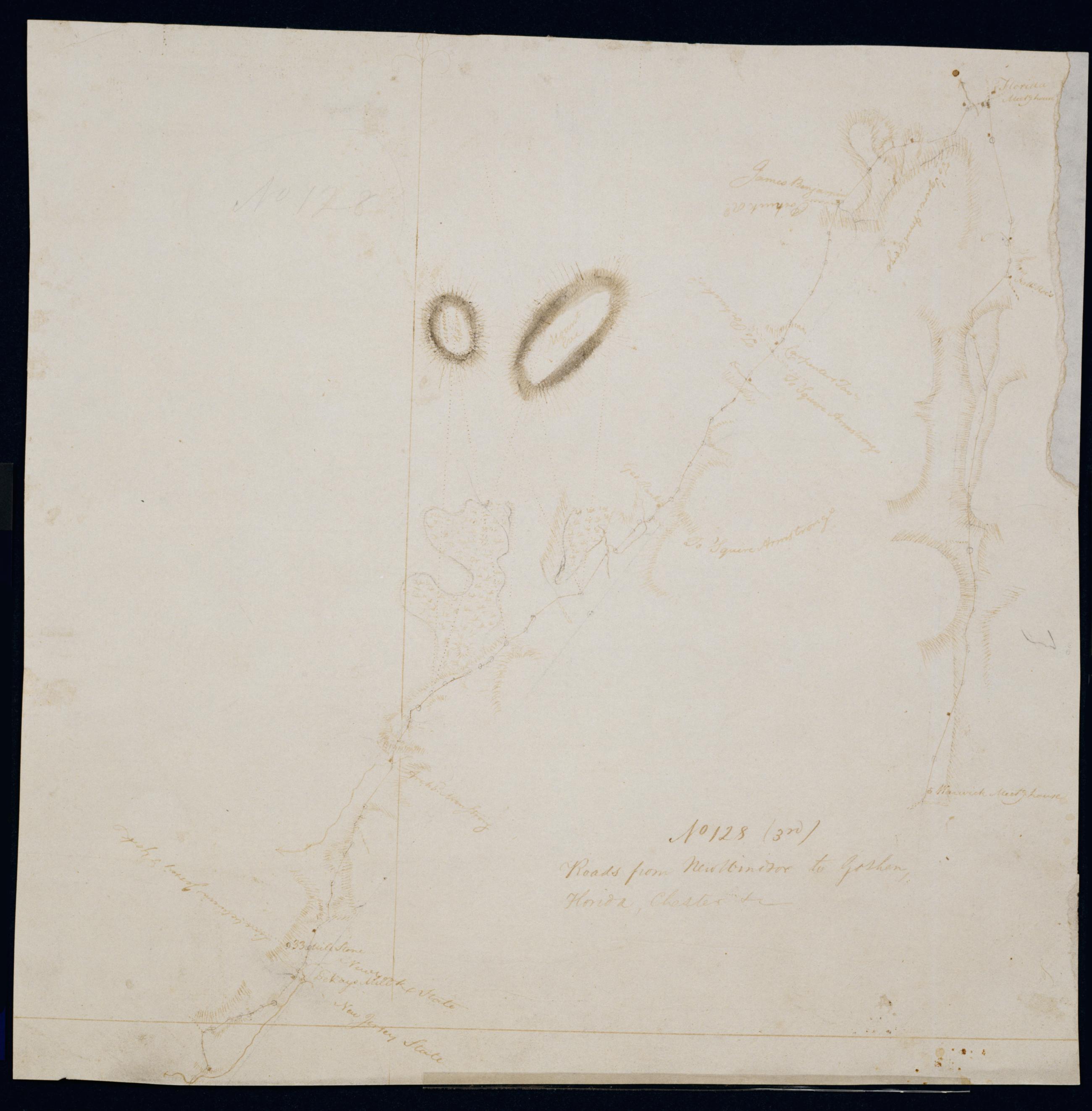
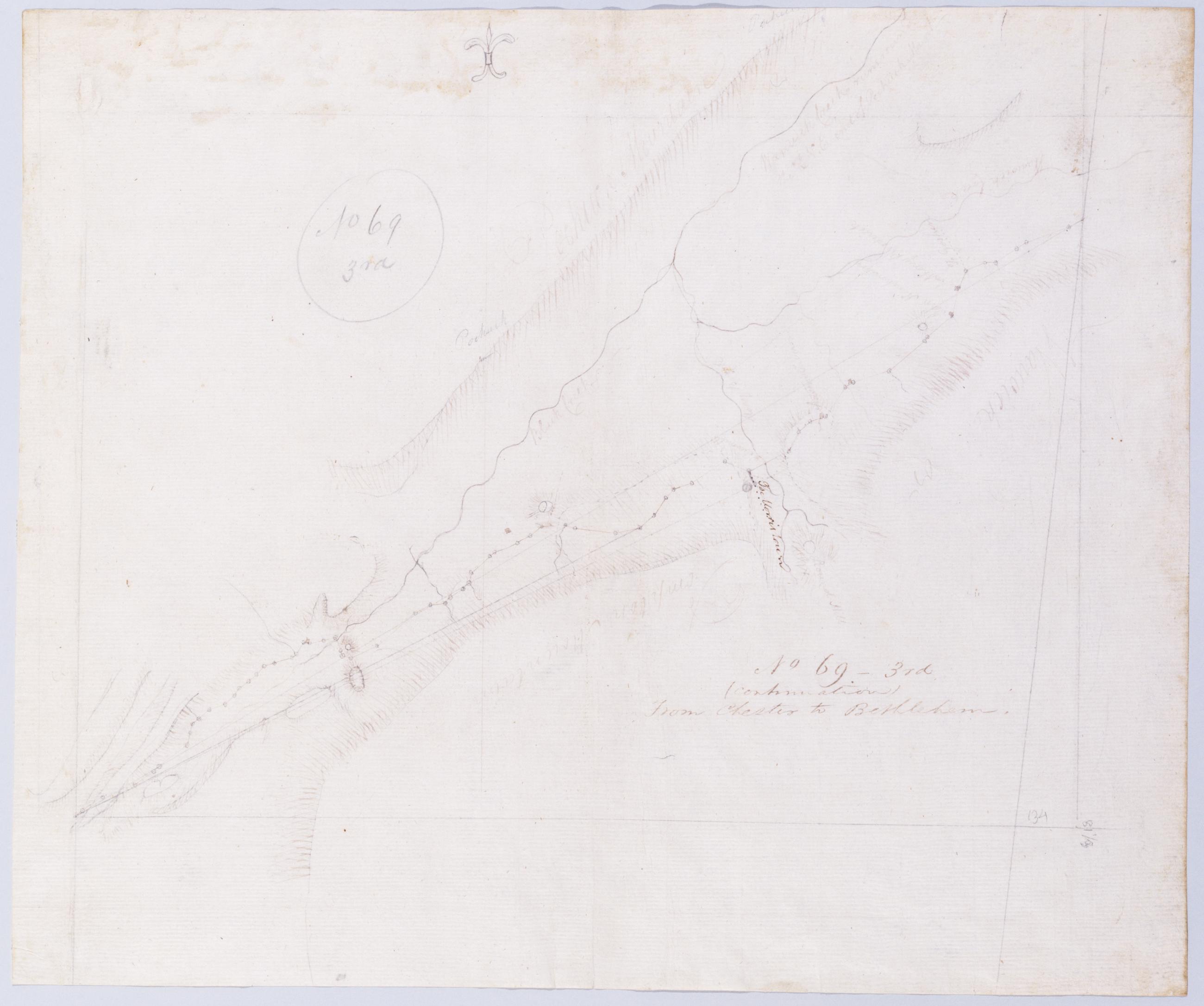
(Continuation) From Chester to Bethlehem. No 69-3rd / by Robert Erskine F.R.S. Geogr. A. U.S. and Assistants.
In pencil on recto: "No 69 3rd". Military topographic map. Covers the township of Vernon in Sussex County- New Jersey. Shows roads running through Maple Grange and Vernon. Also shows buildings and owners' names- landforms and streams. Pen-and-ink- pencil on laid paper. Shows relief by hachures. Stained- creased and abraded. Mounted on cloth- bound and cropped- disbound and silked by subsequent owners. Cleaned after removal of backings 1999; some fill remains. Sheathed in mylar. Title proper on recto is the work of a later editor--Simeon DeWitt or his assign--subsequent to 1820.
View Item