


Cartographic
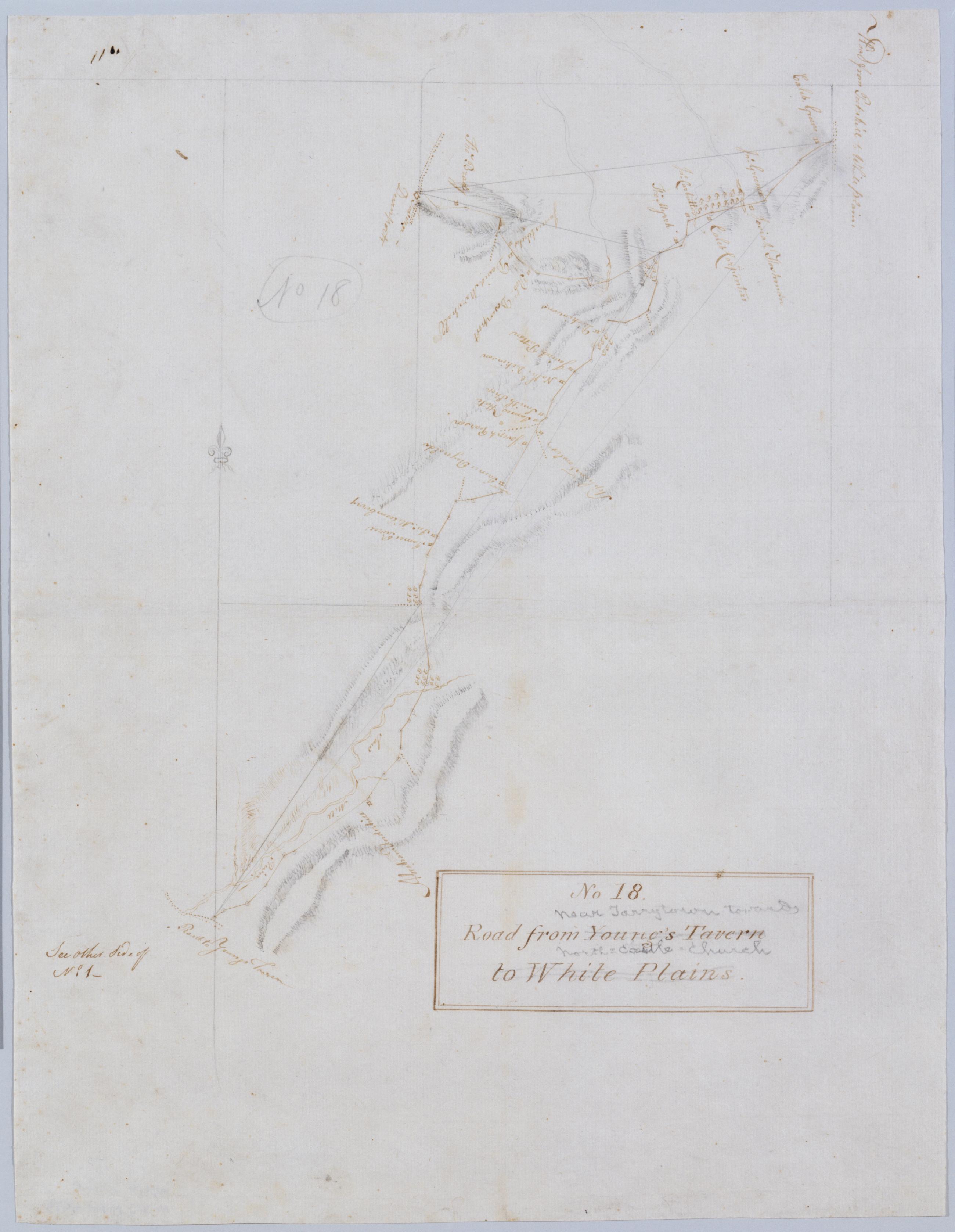
Road from Young's Tavern to White Plains. No 18 / by Robert Erskine F.R.S. Geogr. A. U.S. and Assistants.
Foxed- creased and abraded. Mounted on cloth- bound and cropped- disbound and silked by subsequent owners. Cleaned after removal of backings 1999; some fill remains. Sheathed in mylar. In ink on verso: "No. 18". In pencil on recto: "No 18". Includes text: "See other Side of No. 1--". Military topographic map. Covers an area in the town of Mount Pleasant- Westchester County- New York. Shows roads running through Neperan- Sherman Park- Pleasantville- Chappaqua and Newcastle. Also shows buildings and owners' names- landforms and streams. Pen-and-ink- pencil on laid paper.
View Item
