Cartographic
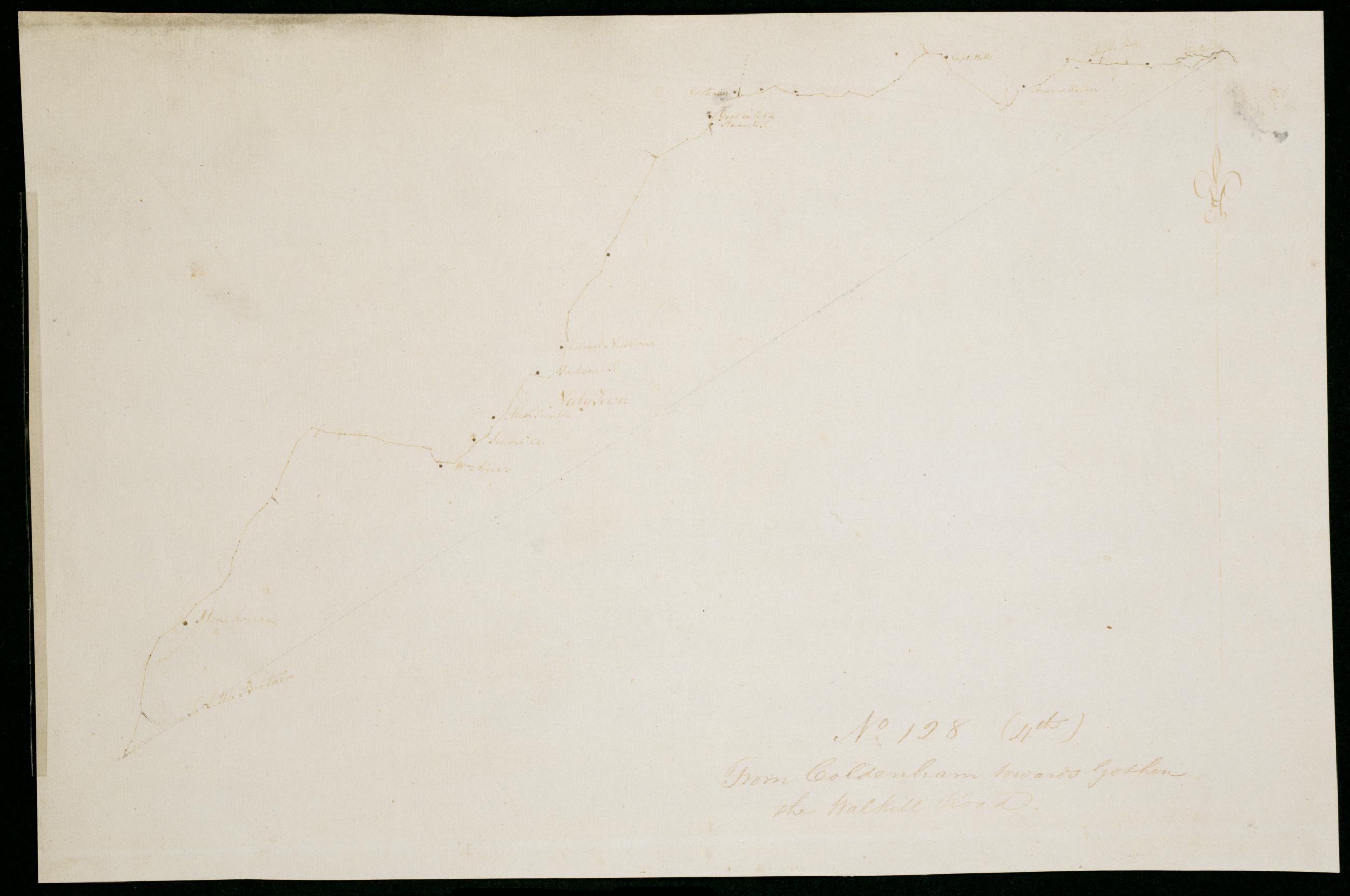
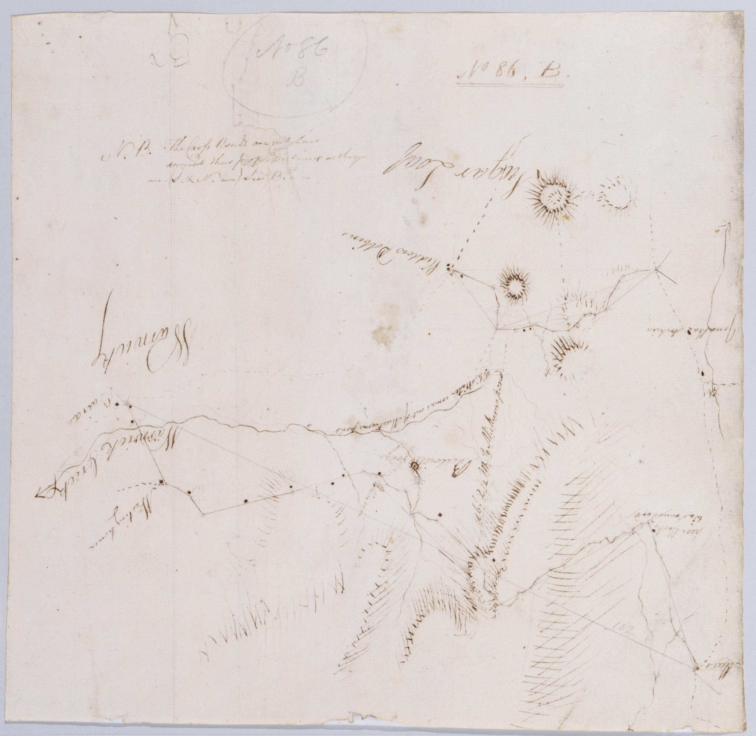
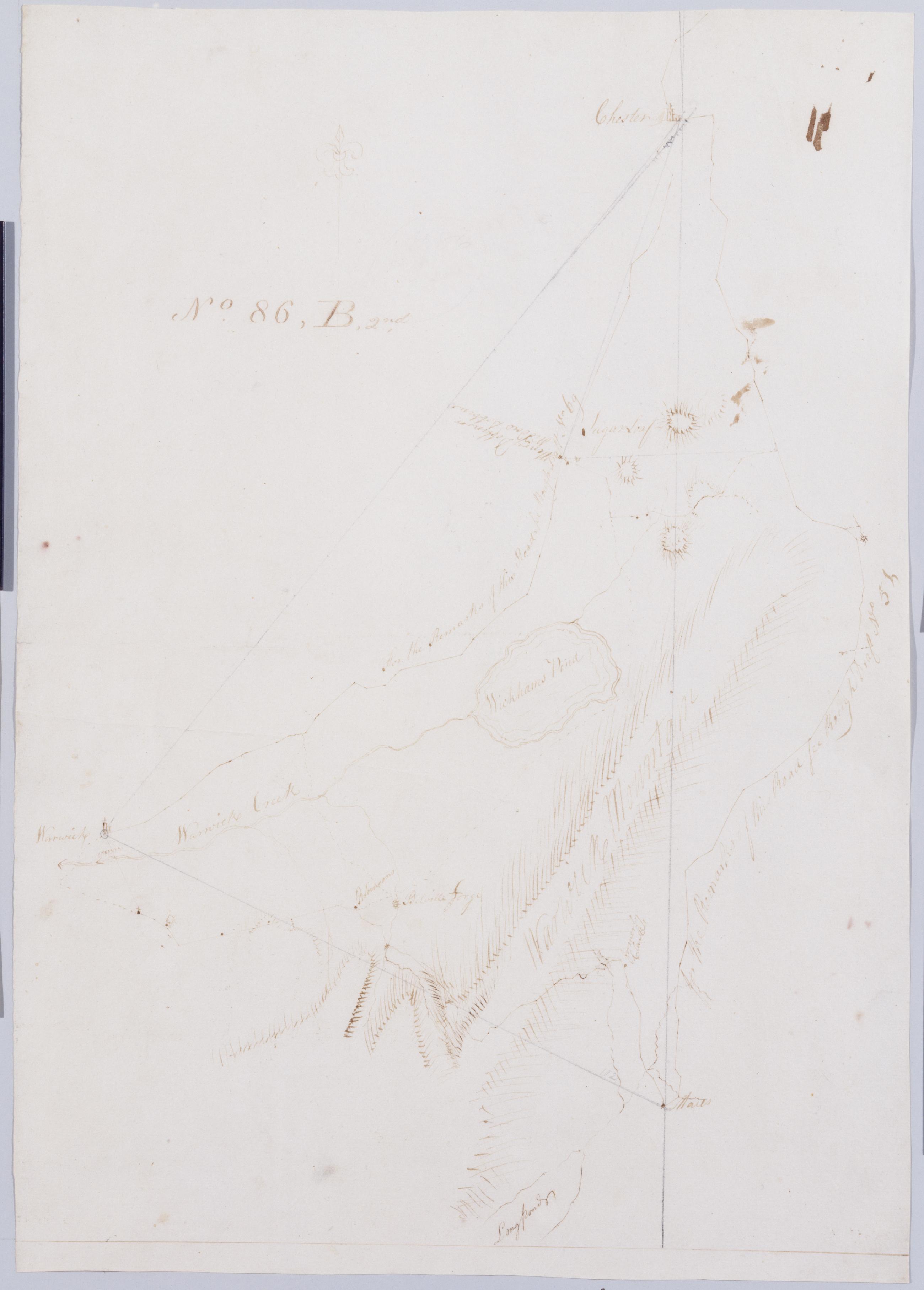
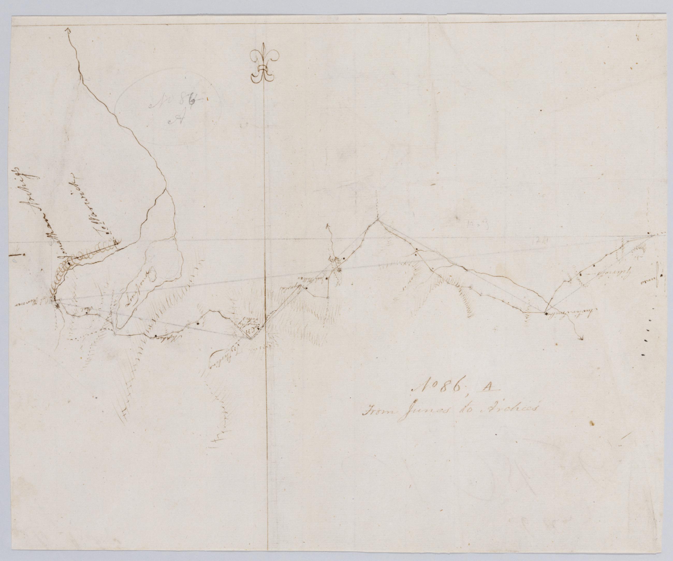
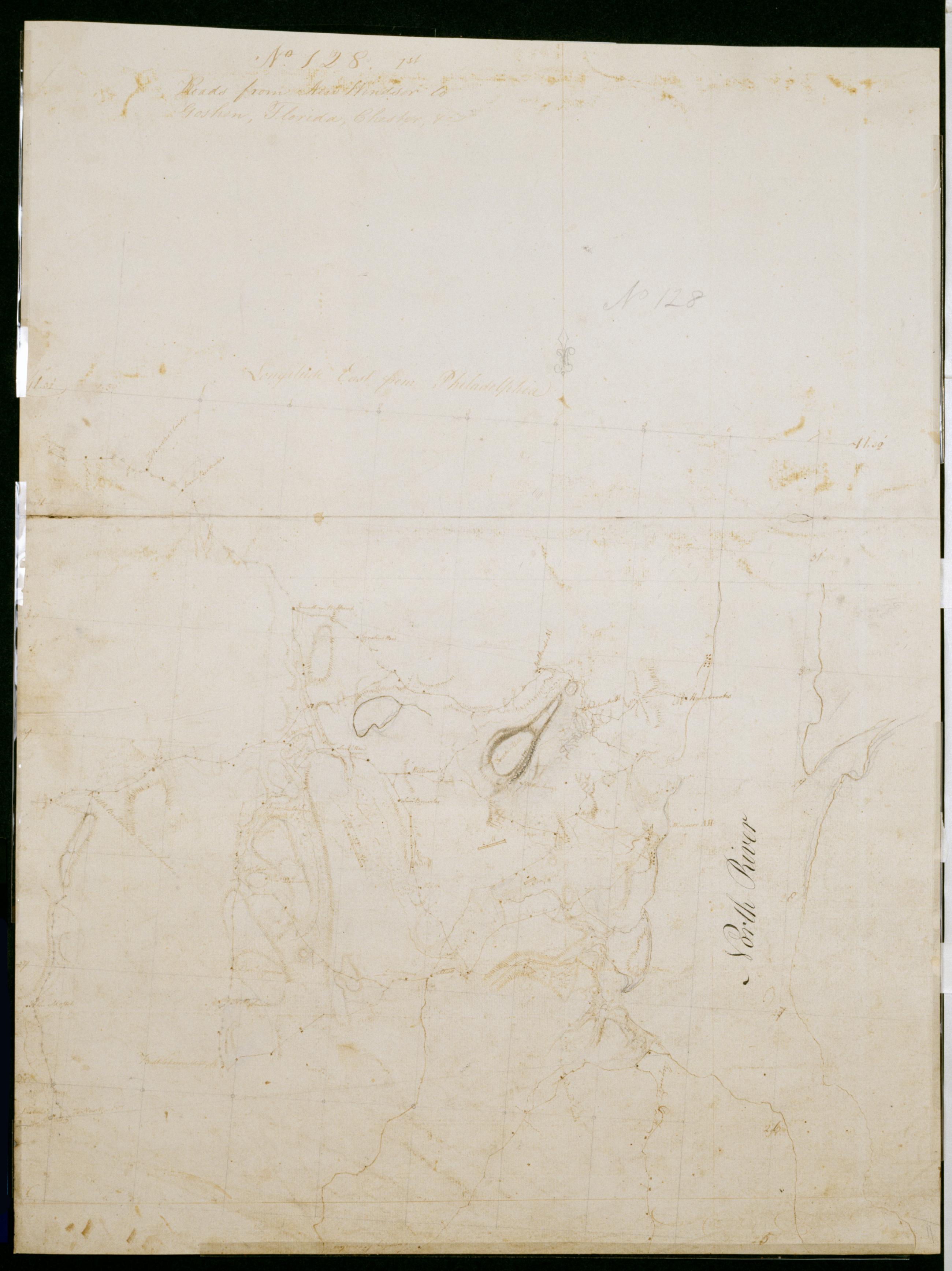
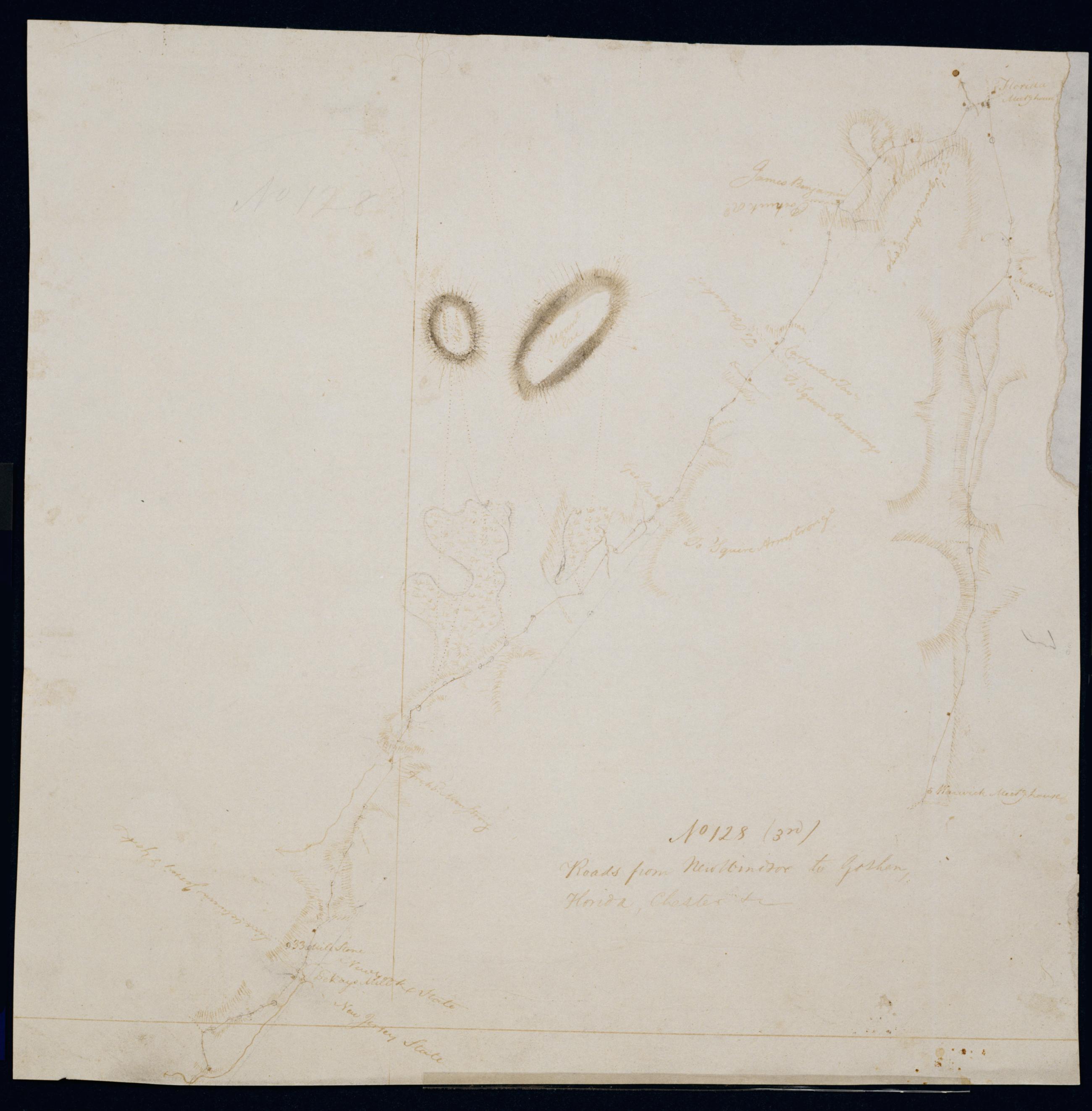
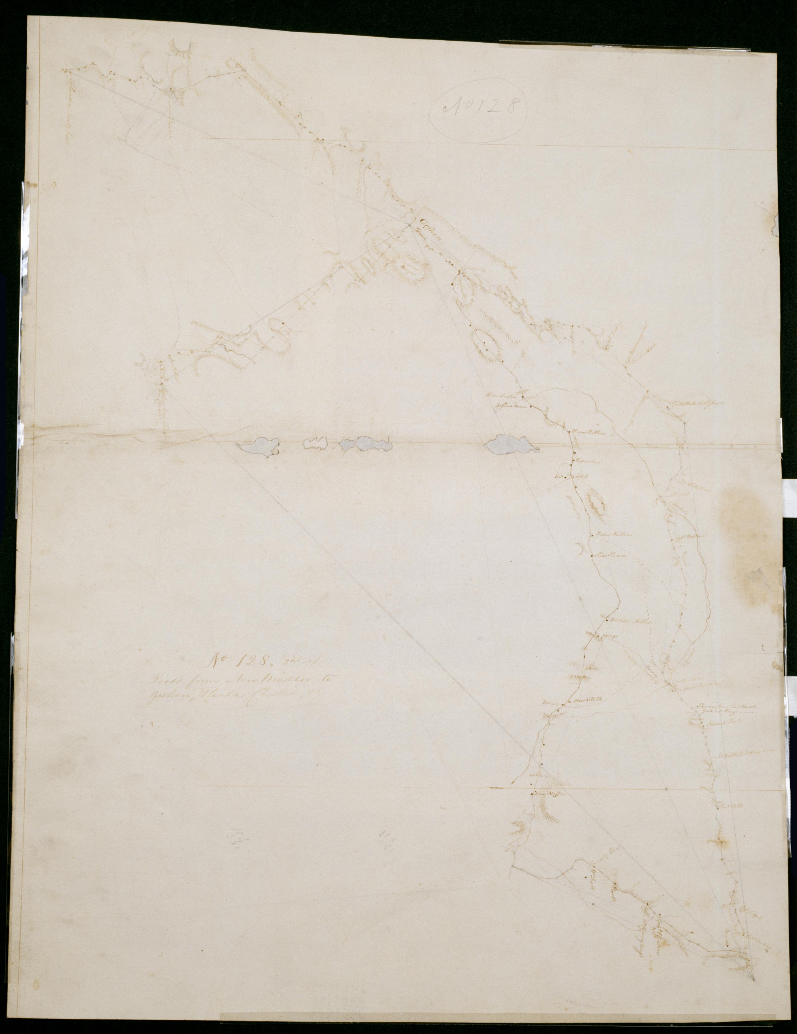
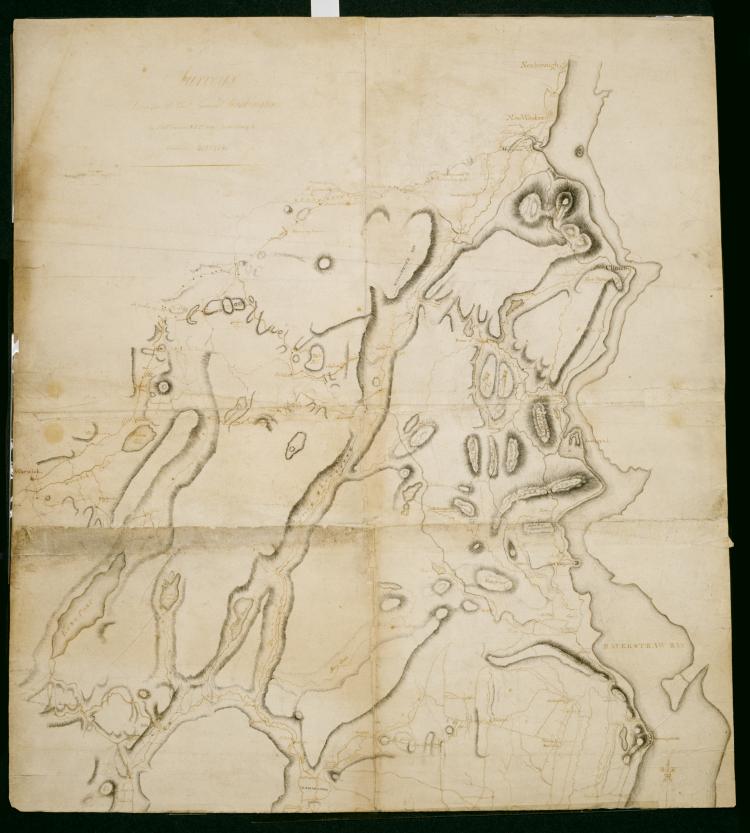
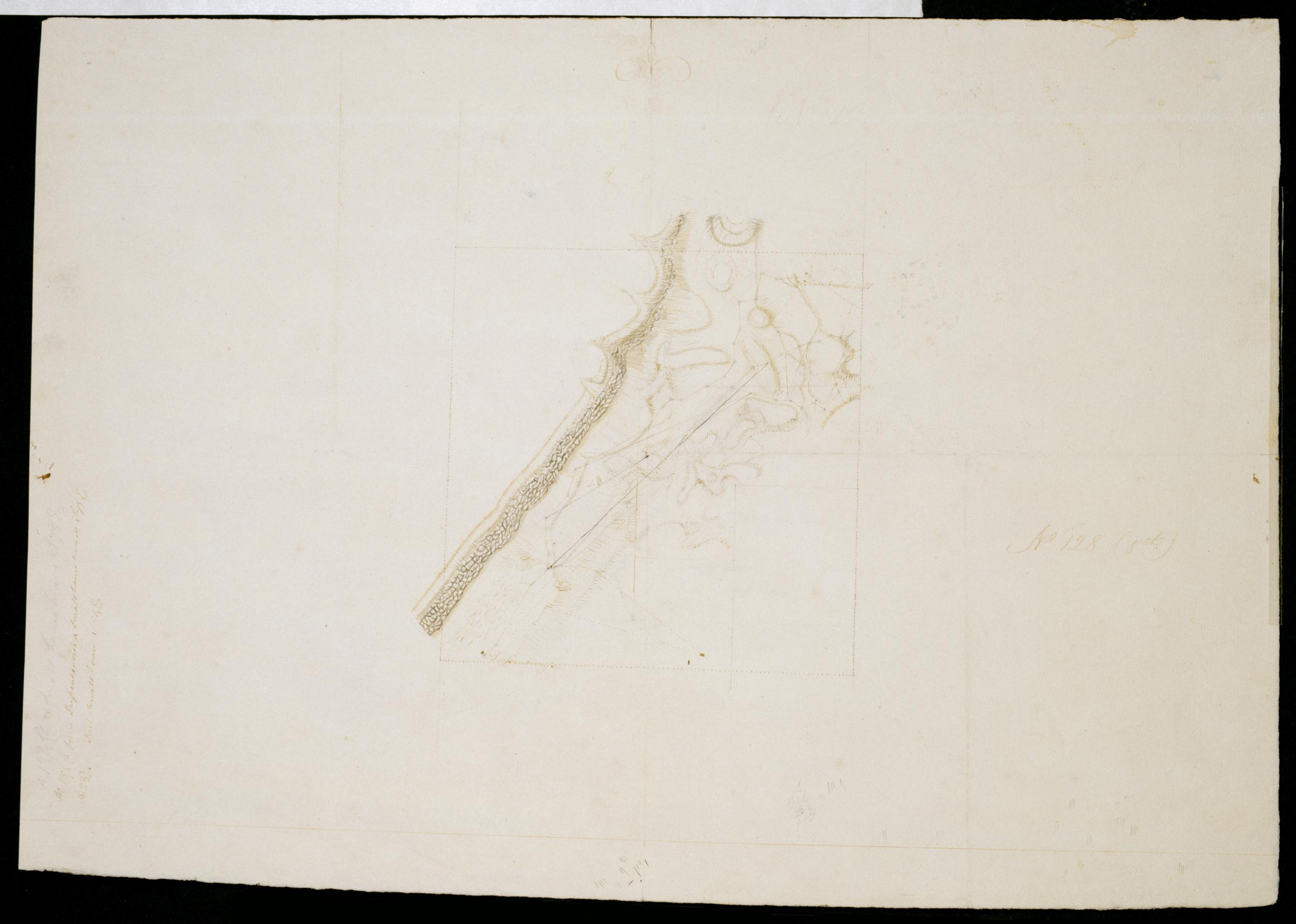
[Map of Snake Hill between Dussenberries and Hasbrooks Mill New York] No 128 (5th) / by Robert Erskine F.R.S. Geogr. A. U.S. and Assistants.
Date probably 1782- based on association with sheet 128-1st. Drawing tentatively attributed to DeWitt by cataloger. Military topographic or fortification map. Covers the towns of New Windsor and Newburg in Orange County- New York. Shows buildings and owners' names- streams. Pen-and-ink- pencil on laid paper. Shows relief by hachures. Soiled- creased and abraded. Mounted on cloth- bound and cropped- disbound and silked by subsequent owners. Cleaned after removal of backings 1999; some fill remains. Sheathed in mylar. Title proper supplied by cataloger.
View Item