Cartographic
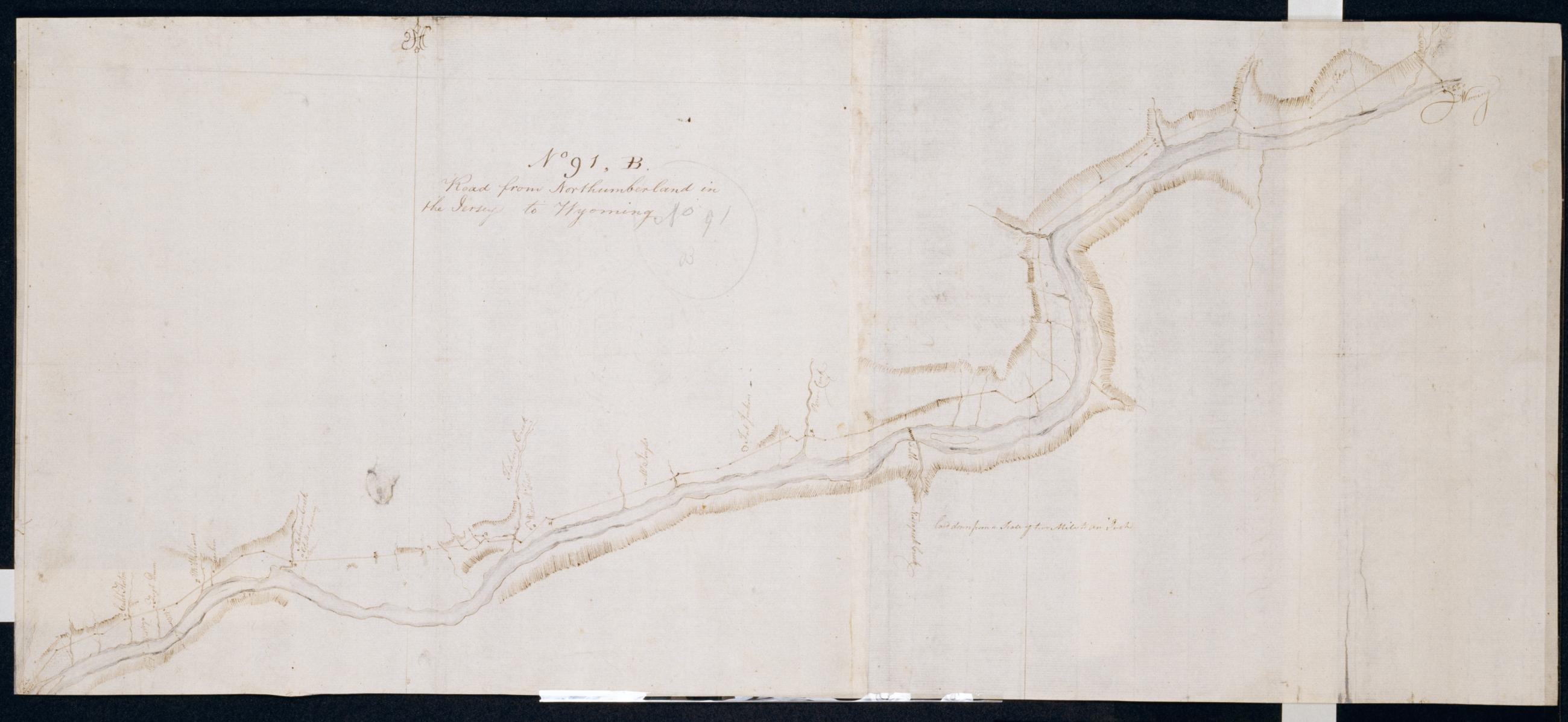
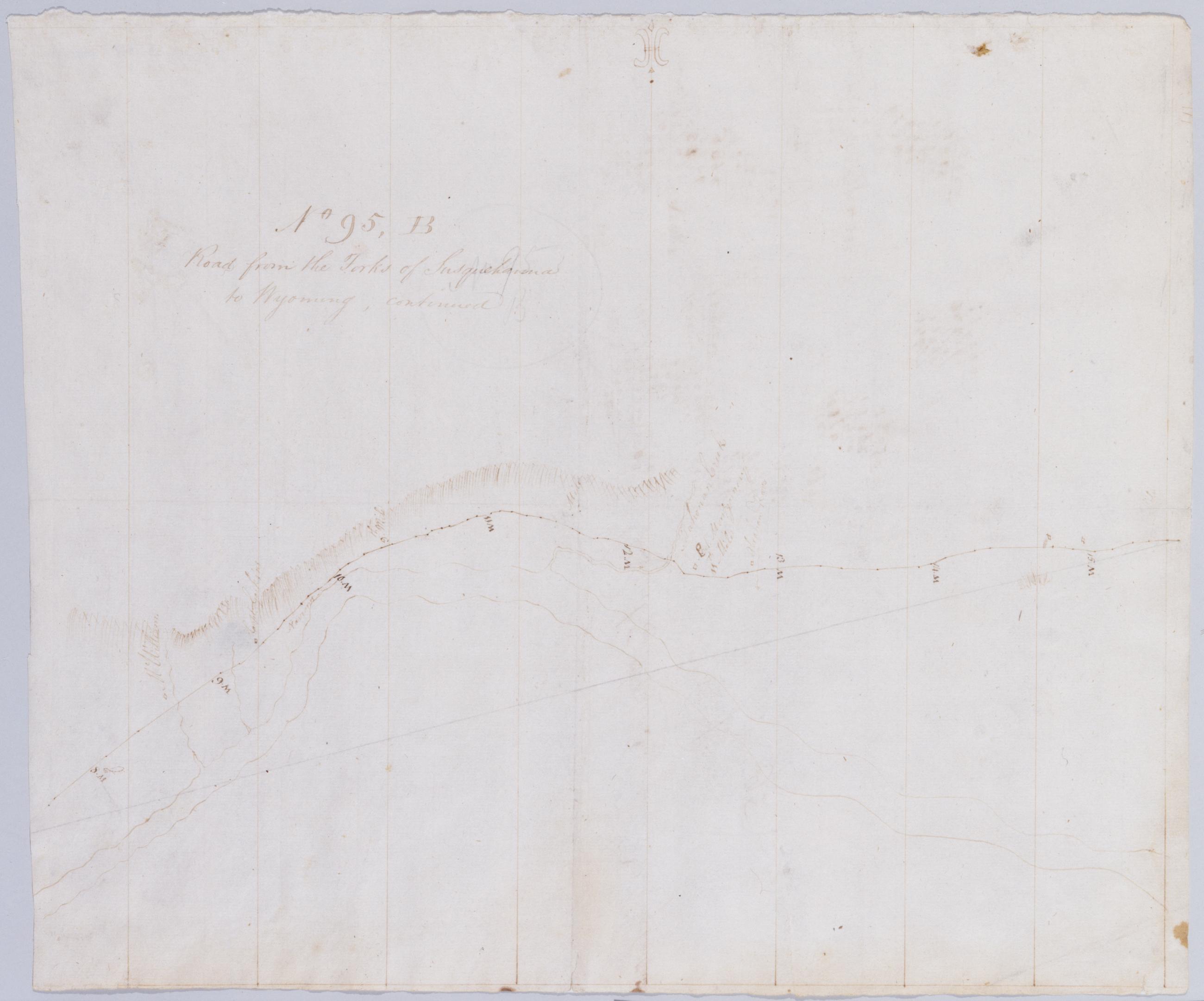
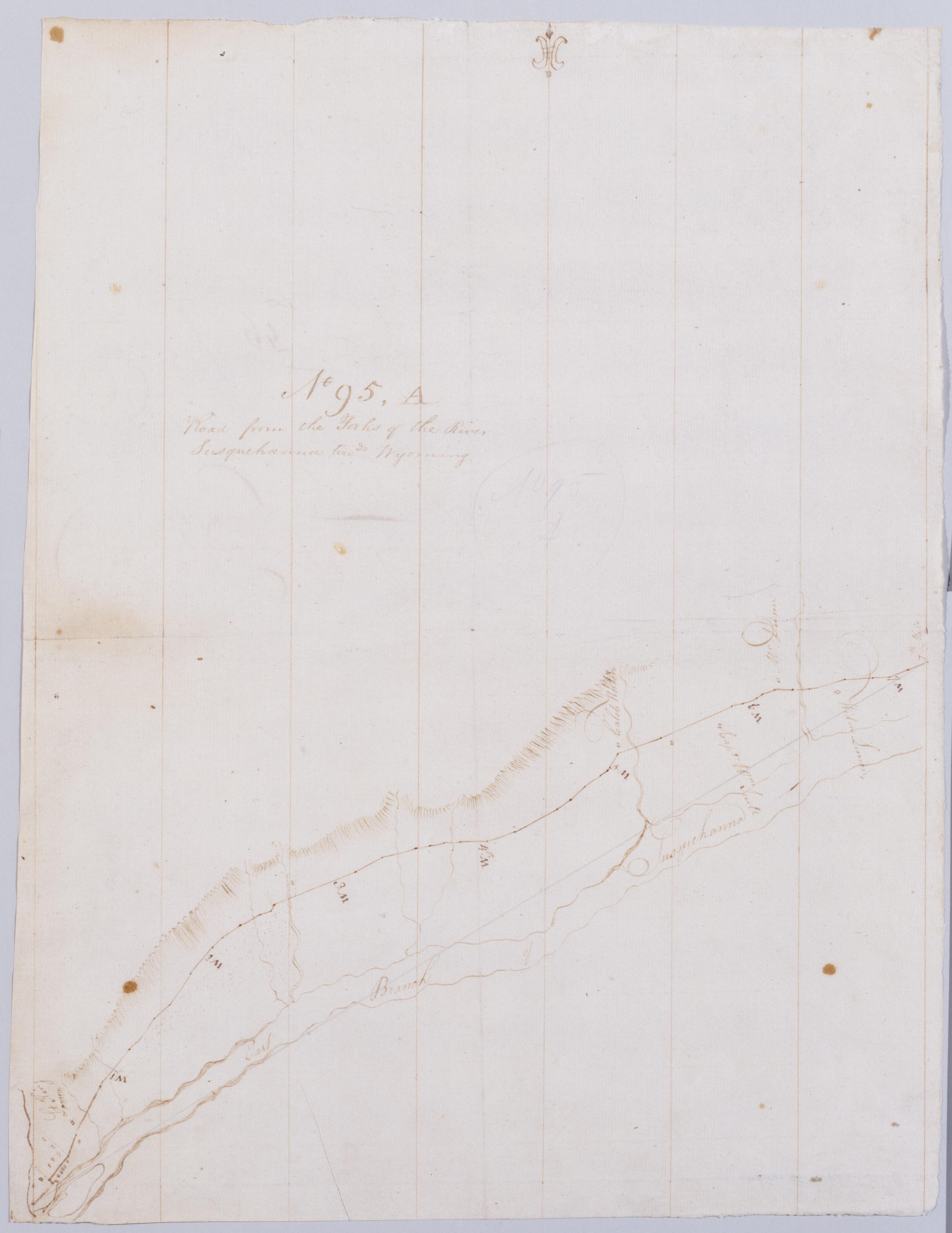
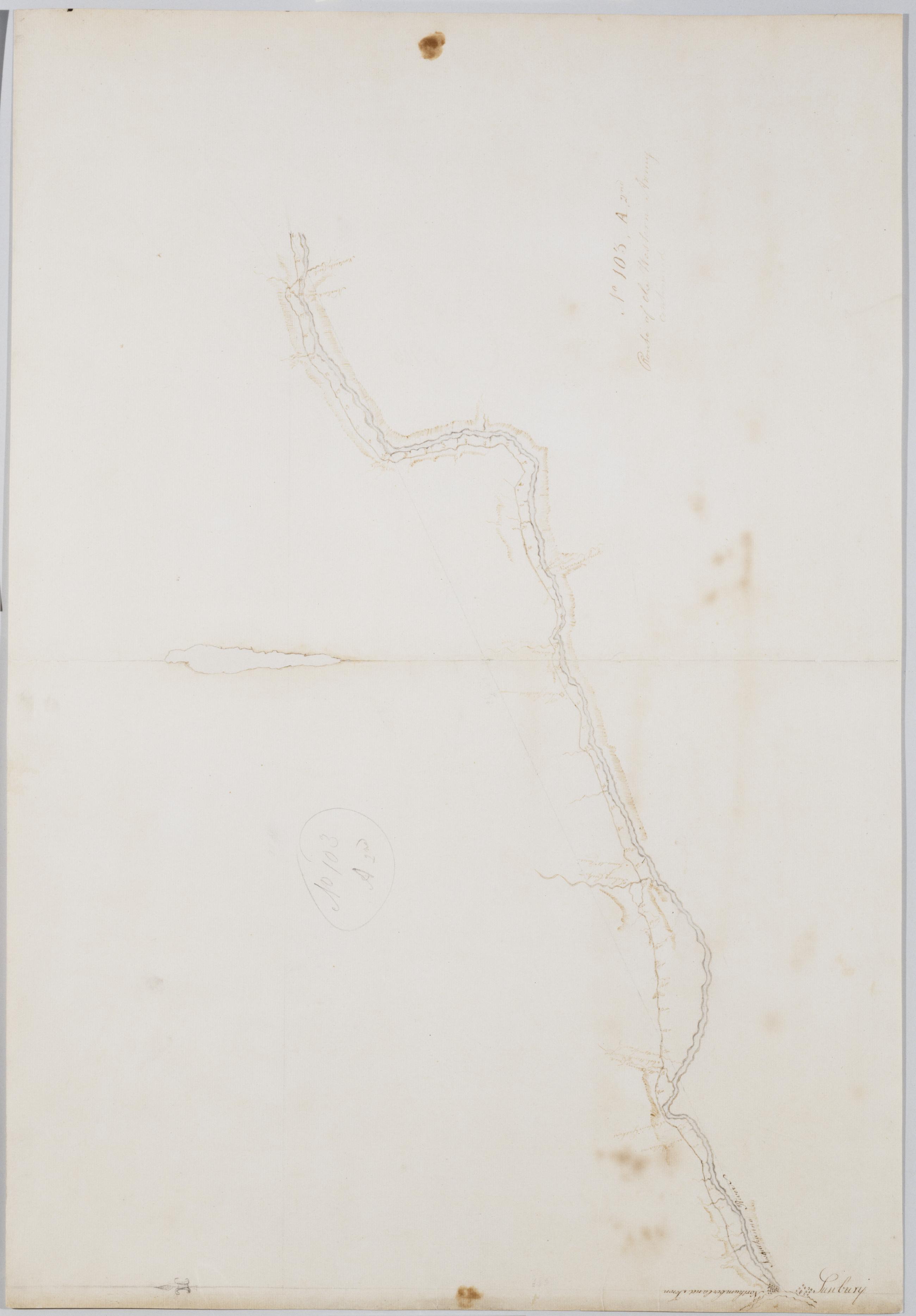
Road from Northumberland in the Jerseys to Wyoming. No 91 B / by Robert Erskine F.R.S. Geogr. A. U.S. and Assistants.
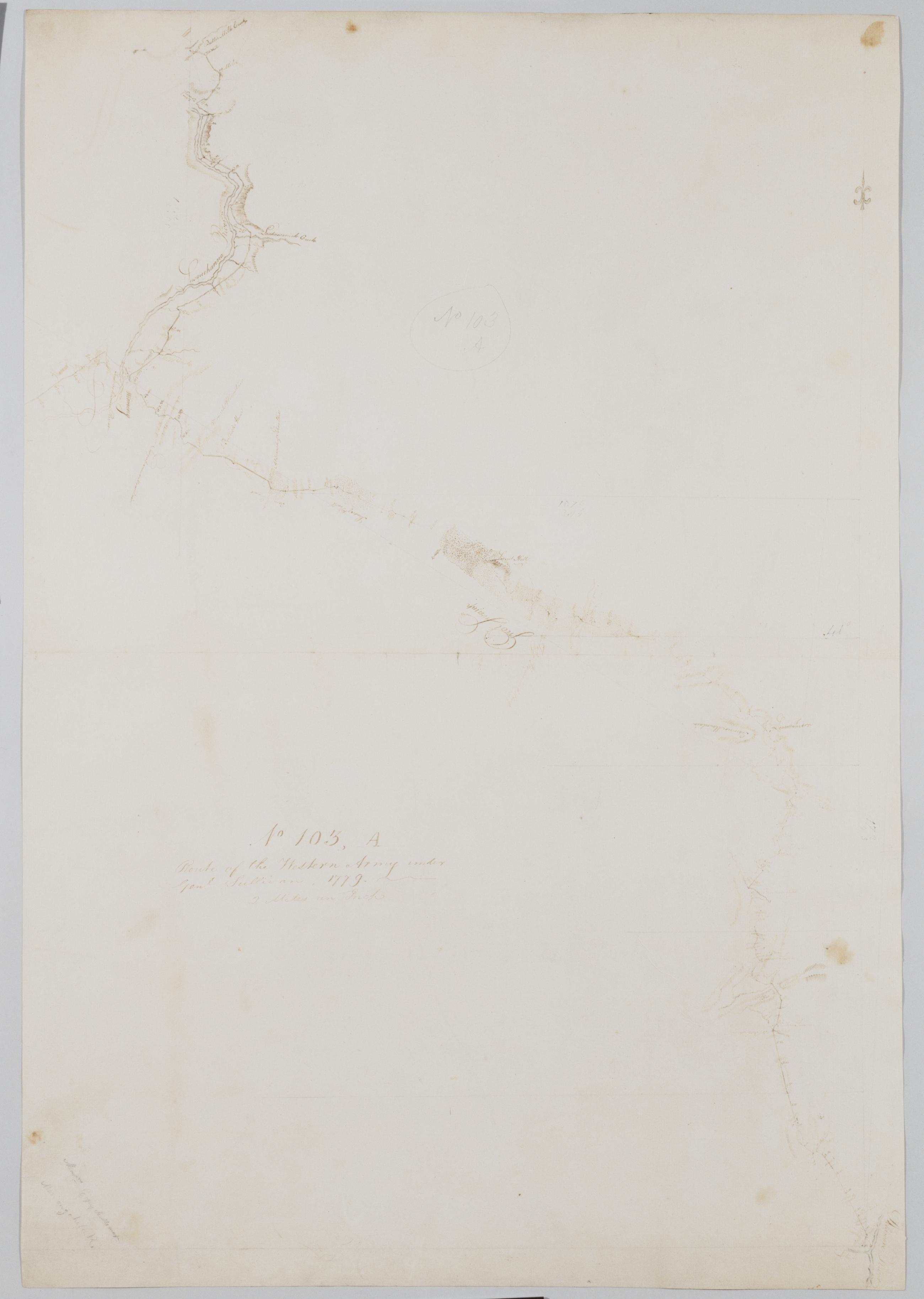
Foxed- soiled- stained- torn and abraded. Mounted on cloth- bound and cropped- disbound and silked by subsequent owners. Cleaned after removal of backings 1999; some fill remains. Sheathed in mylar. In pencil on recto: "No 91 B". Military topographic map. Covers the counties of Luzerne- Columbia- Montour and Northumberland in Pennsylvania. Shows roads running through Wyoming- Wilkes Barre- Berwick- Bloomsburg- Danville and Northumberland. Also shows buildings and owners' names- landforms and streams. Pen-and-ink- pencil on laid paper. Shows relief by hachures.
View Item