Cartographic
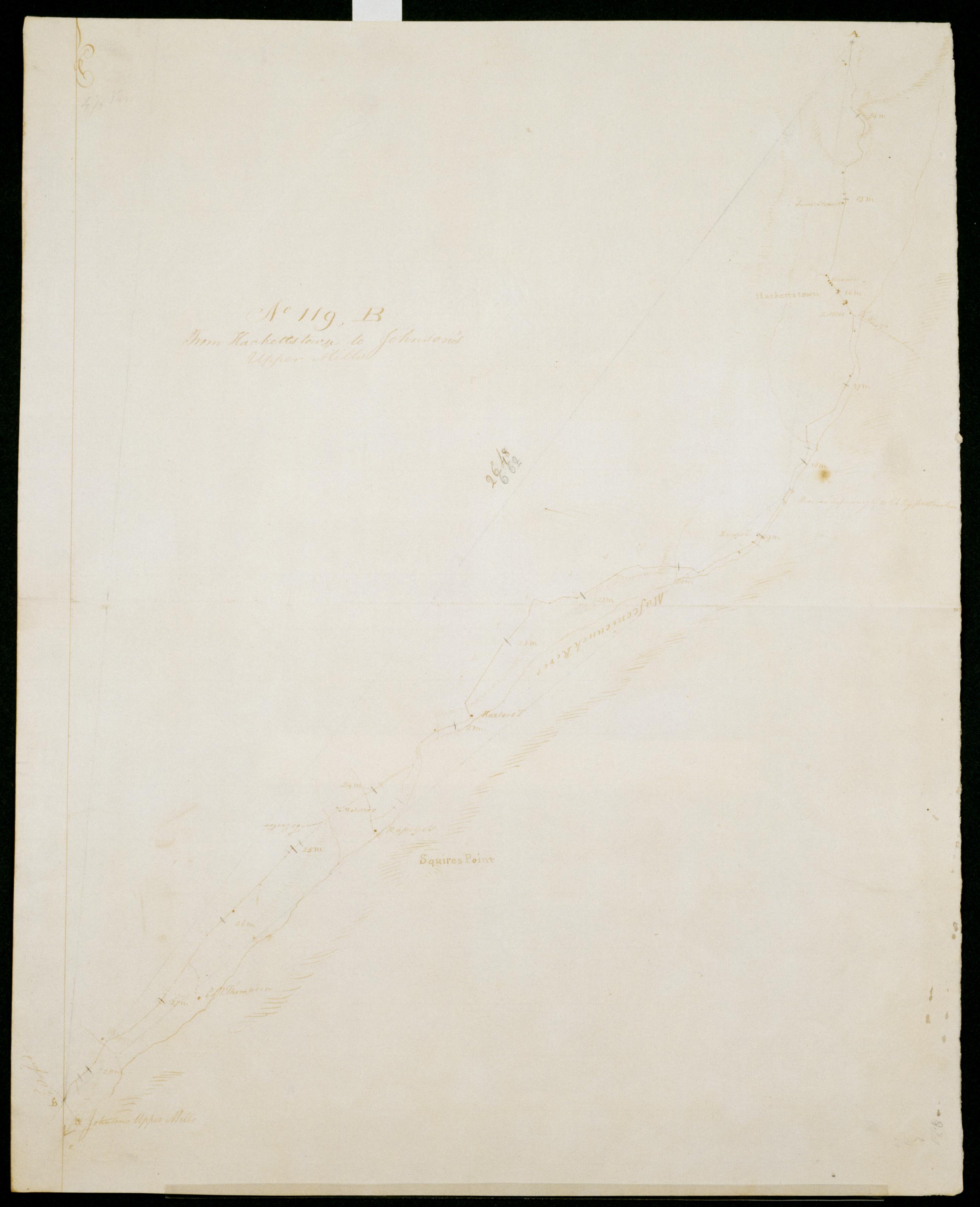
From Hackettstown to Johnson's Upper Mills. No 119 B / S DeWitt Geographer to the Army of the United States ; by Robert Erskine F.R.S. Geogr. A. U.S. and Assistants.
Date of 1780 or 1781 based on verso text to sheet 119-F of series. First statement of responsibility from verso text on sheet 119-F of series. In erased pencil on recto: "No 119 ..." Military topographic map. Covers the townships of Allamuchy- Independence- Mansfield and Washington in Warren County- New Jersey. Shows roads running through Hackettstown- Beatyestown- Penwell and Anderson. Also shows buildings and owners' names- landforms and streams. Pen-and-ink- pencil on laid paper. Shows relief by hachures. Stained- soiled - creased and abraded.
View Item