Cartographic
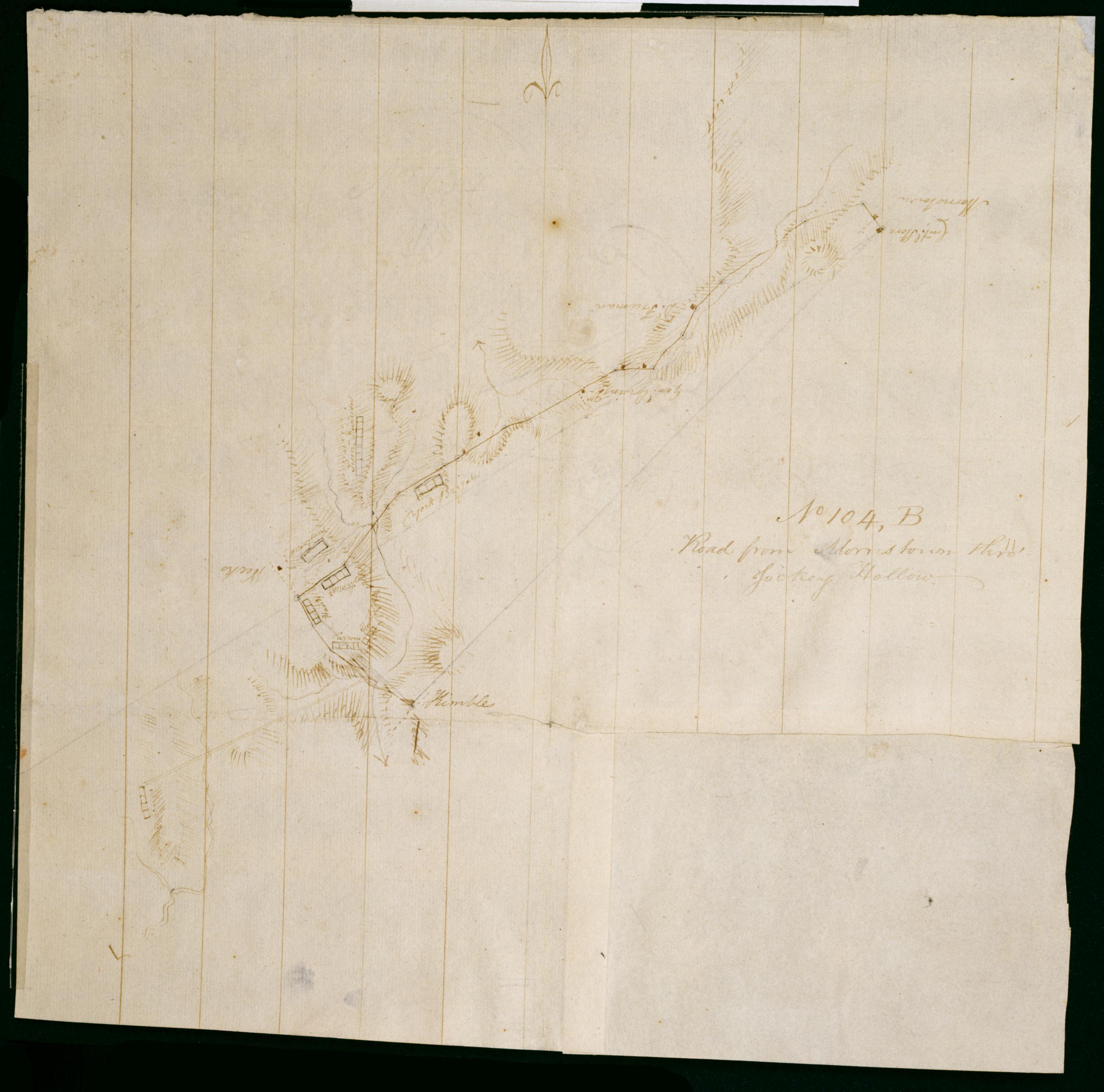
Road from Morristown thro' Jockey Hollow. No 104 B / by Robert Erskine F.R.S. Geogr. A. U.S. and Assistants.
Foxed- creased- frayed and abraded. Mounted on cloth- bound and cropped- disbound and silked by subsequent owners. Cleaned after removal of backings 1999; some fill remains. Sheathed in mylar. In erased pencil on recto: "No 104 B". Military topographic map. Covers the townships of Passaic and Morris in Morris County and of Bernard in Somerset County- New Jersey. Marks and lables troop positions at Morristown. Also shows roads- buildings and owners' names- landforms and streams. Pen-and-ink- pencil on laid paper. Patch at right corner is later- wove finish paper. Shows relief by hachures.
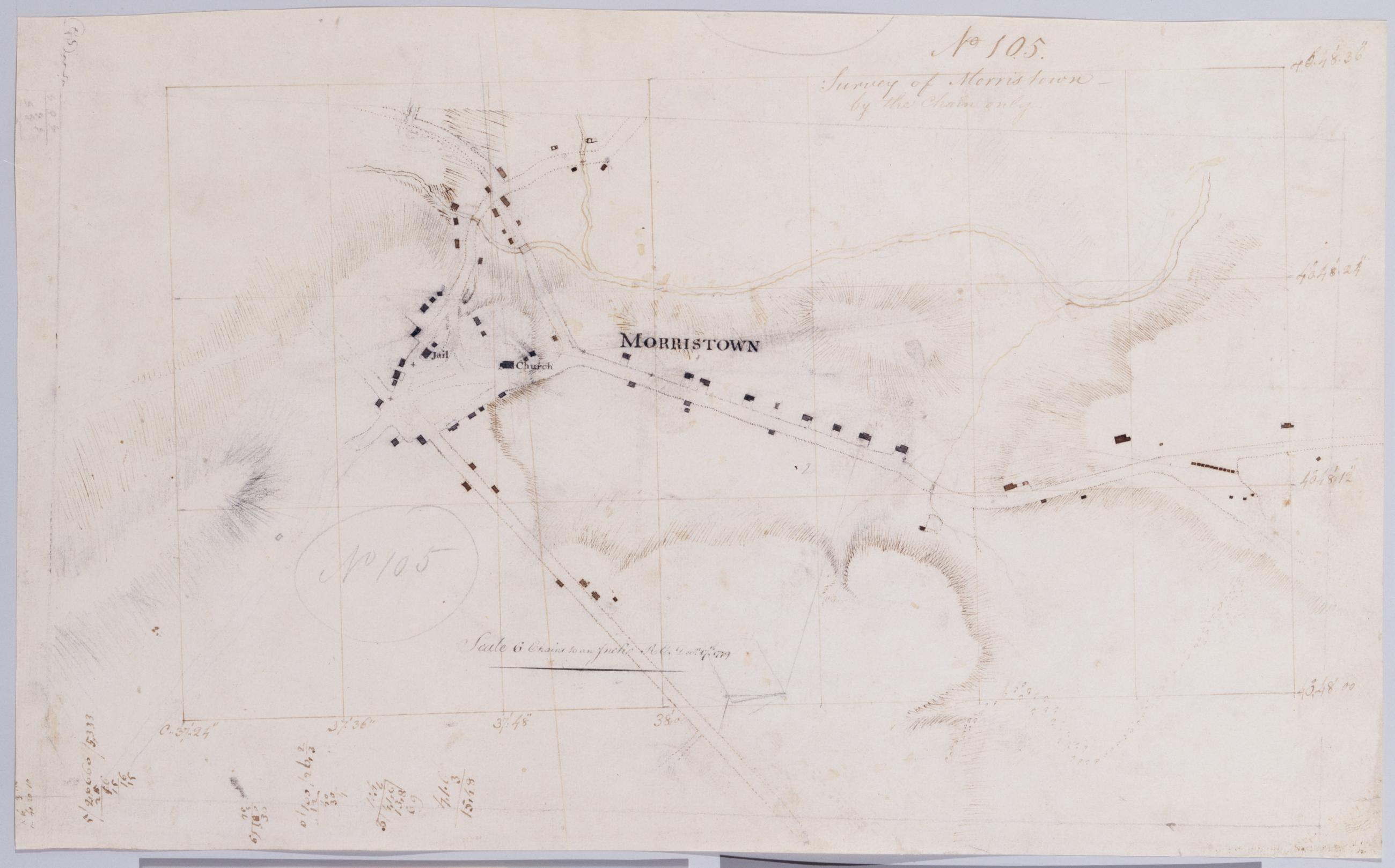
View Item