Cartographic
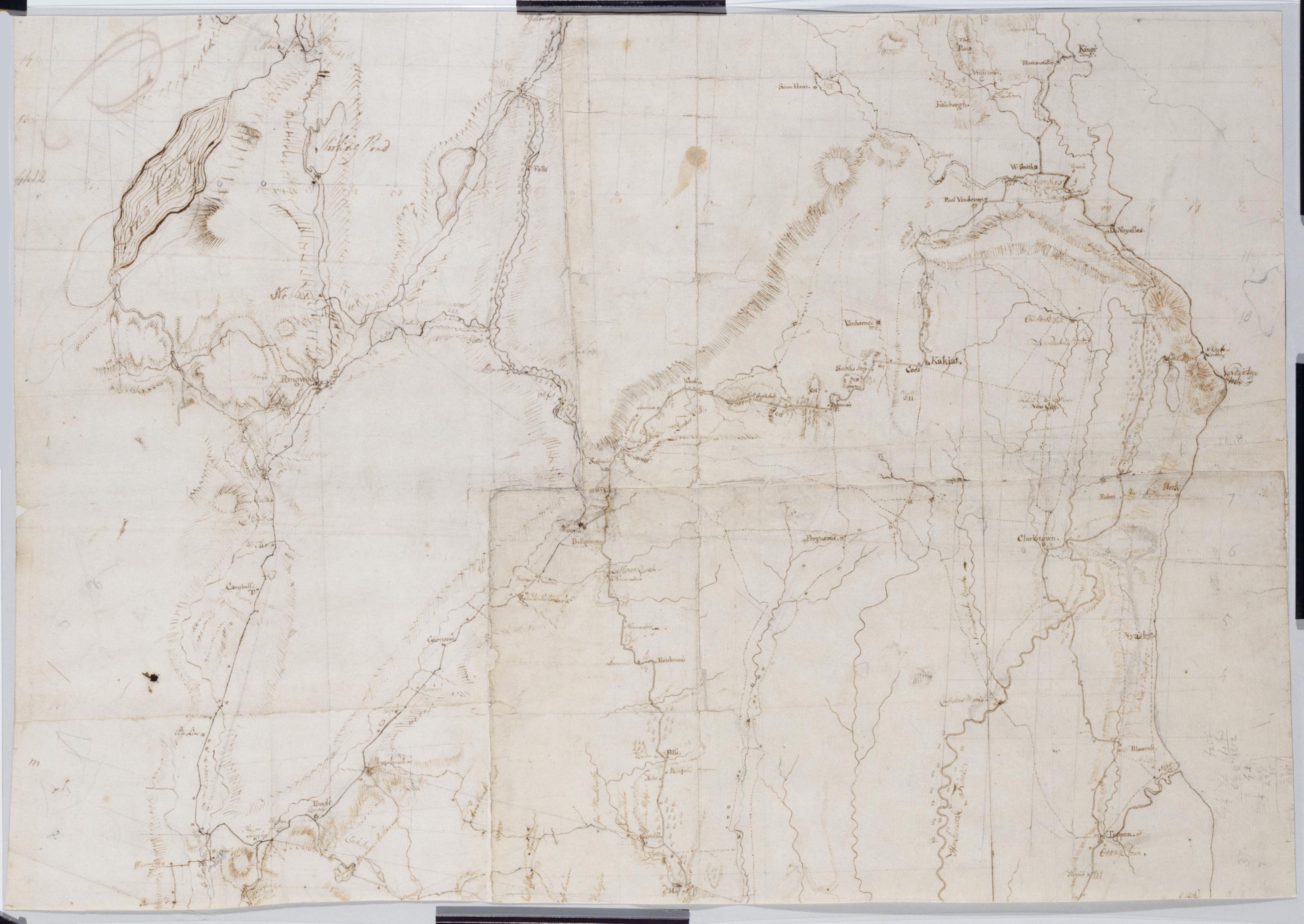
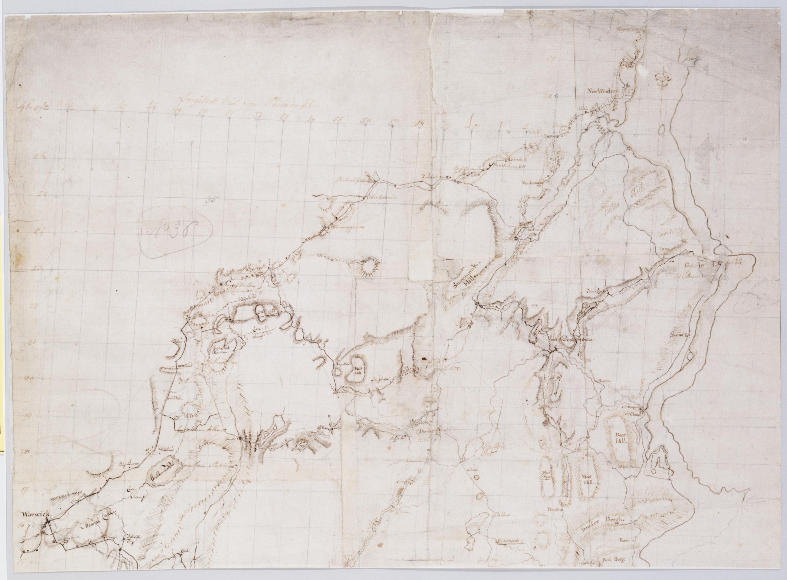
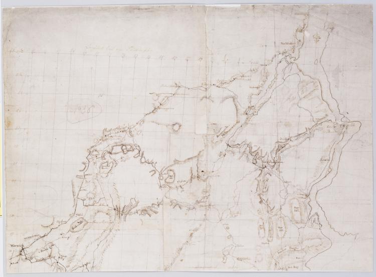
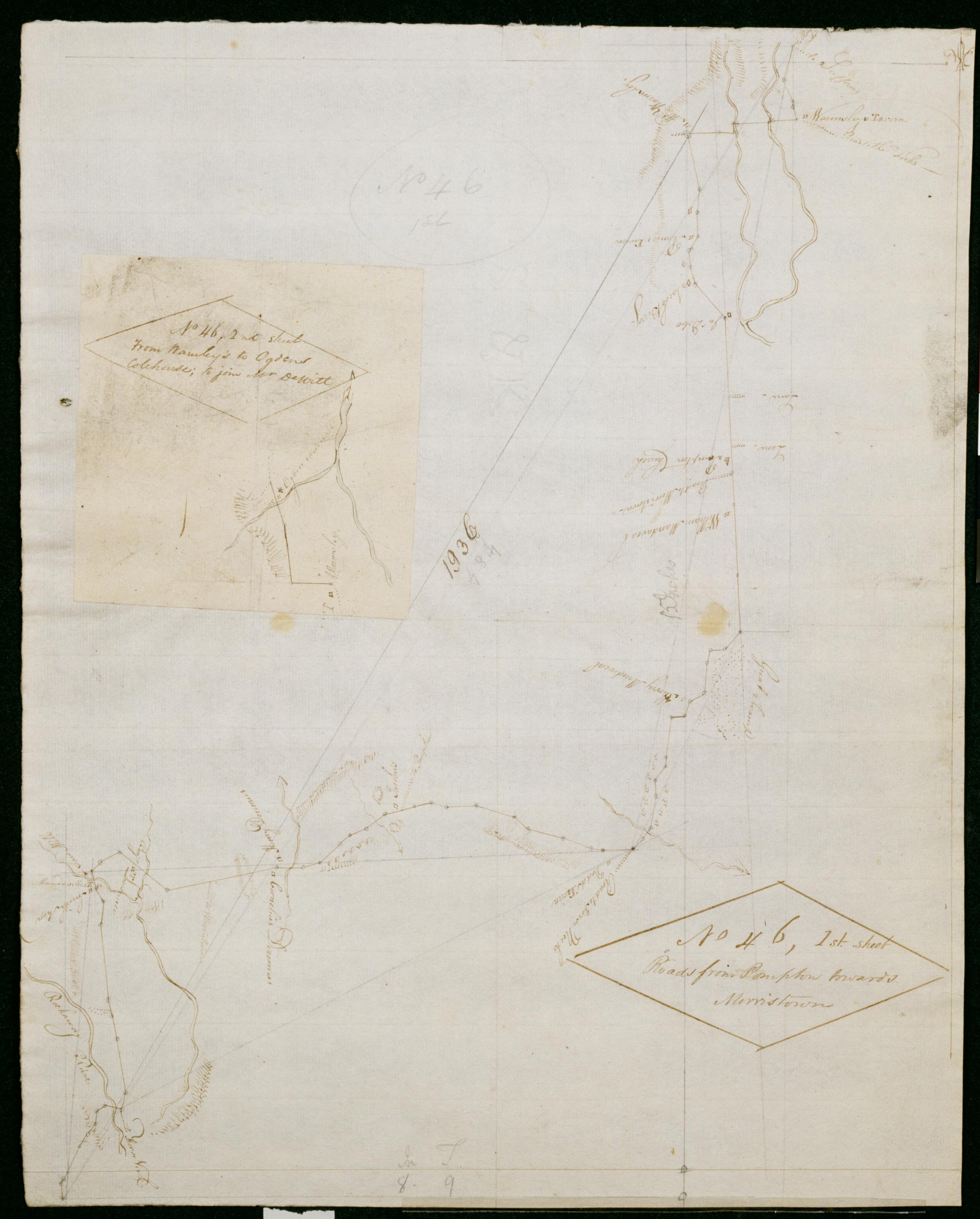
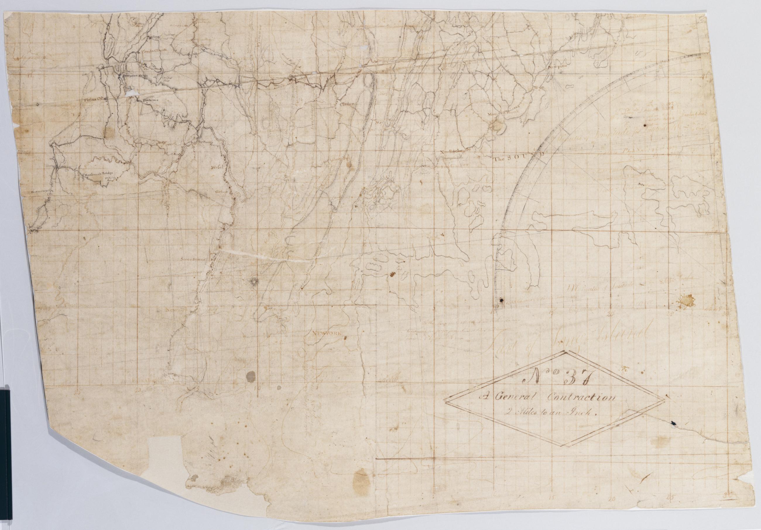
A General Contraction 2 Miles to an Inch. No 37 / by R.E. ; by Robert Erskine F.R.S. Geogr. A. U.S. and Assistants, bottom
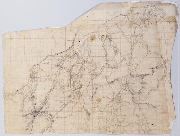
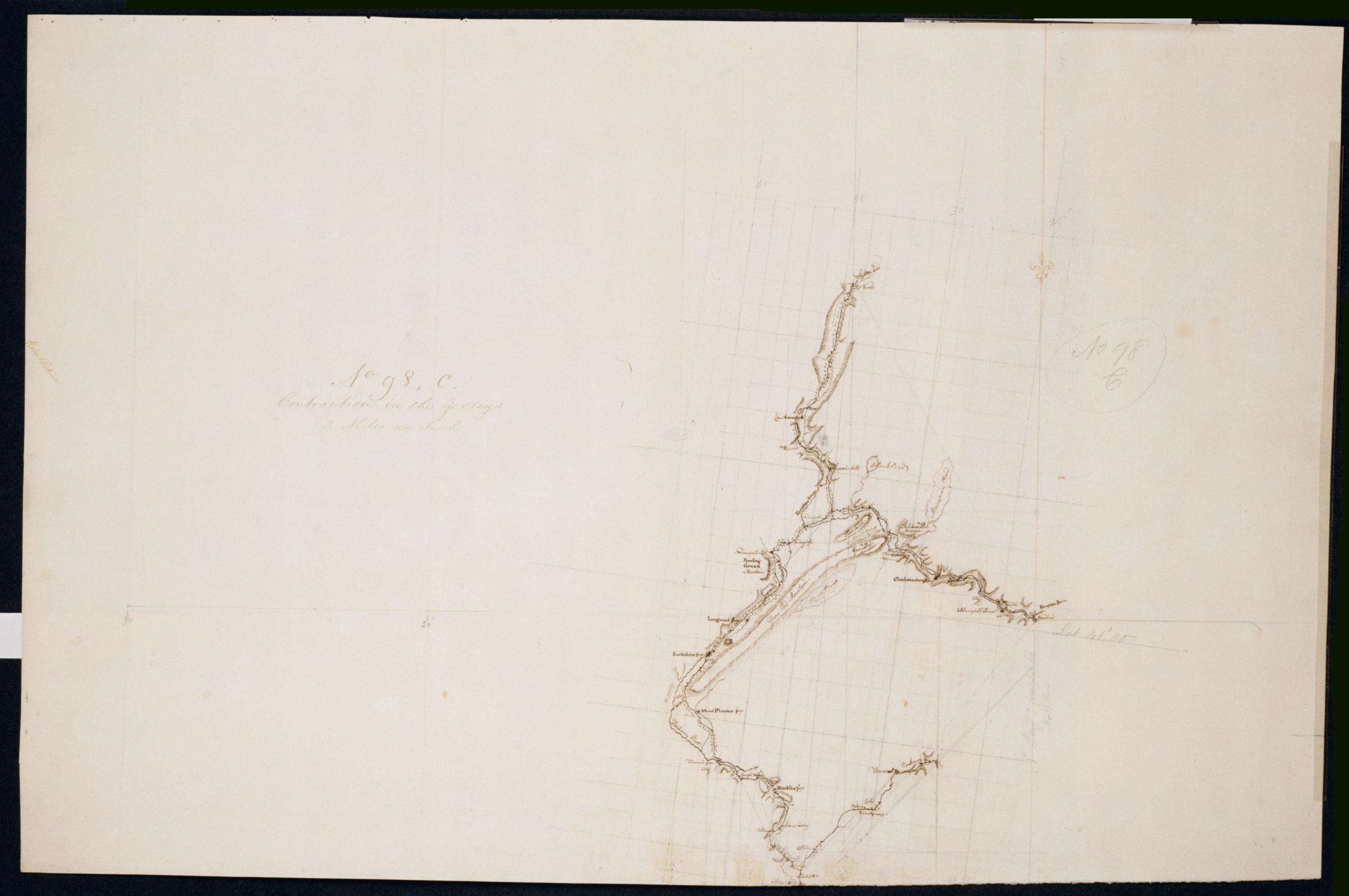
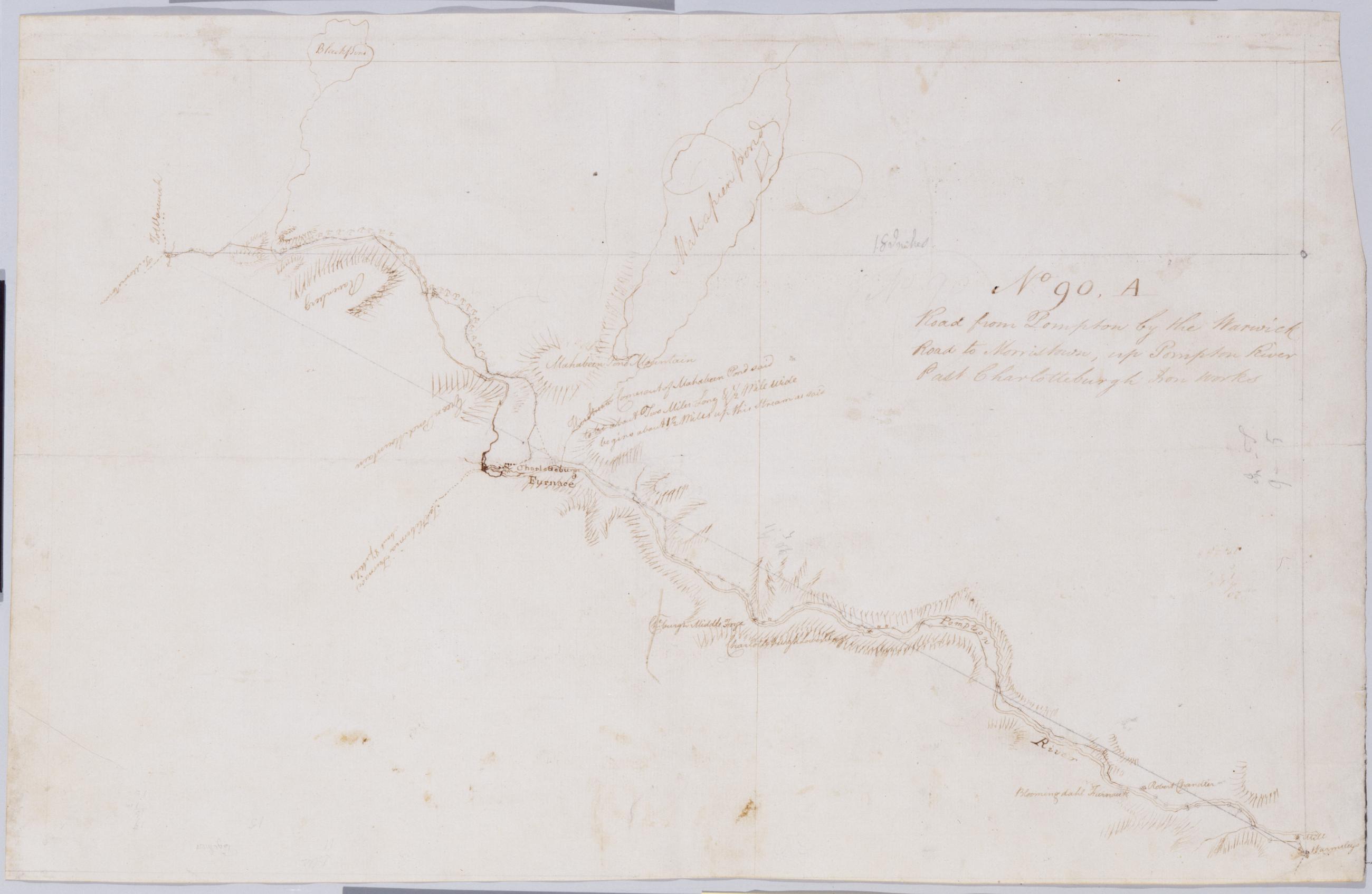
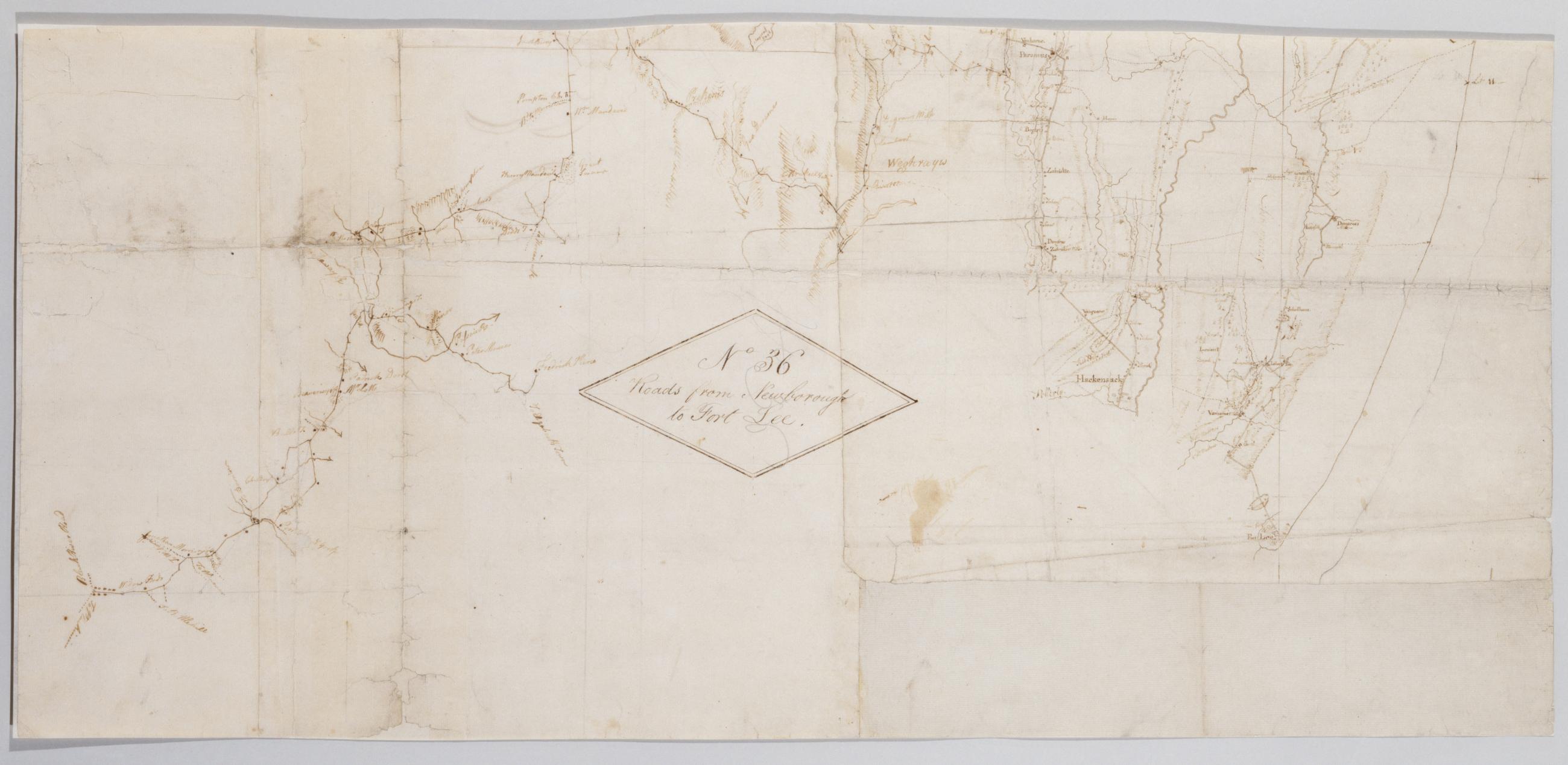
Military topographic map. Covers the lower Hudson River Valley in New York, New Jersey and Connecticut, from Warwick (N.Y.) and Pompton Plains (N.J.) to New Milford and Danbury (Conn.), and from Newburgh (N.Y.) to Staten Island (N.Y.). Shows roads, buildings and owners' names, also landforms and streams. Shows relief by hachures. Title proper from recto is the work of a later editor--Simeon DeWitt or his assign--subsequent to 1820. Index title, both statements of responsibility, date, series title and series numbering by Erskine, but on separate index sheet filed at head of series.
View Item