Cartographic
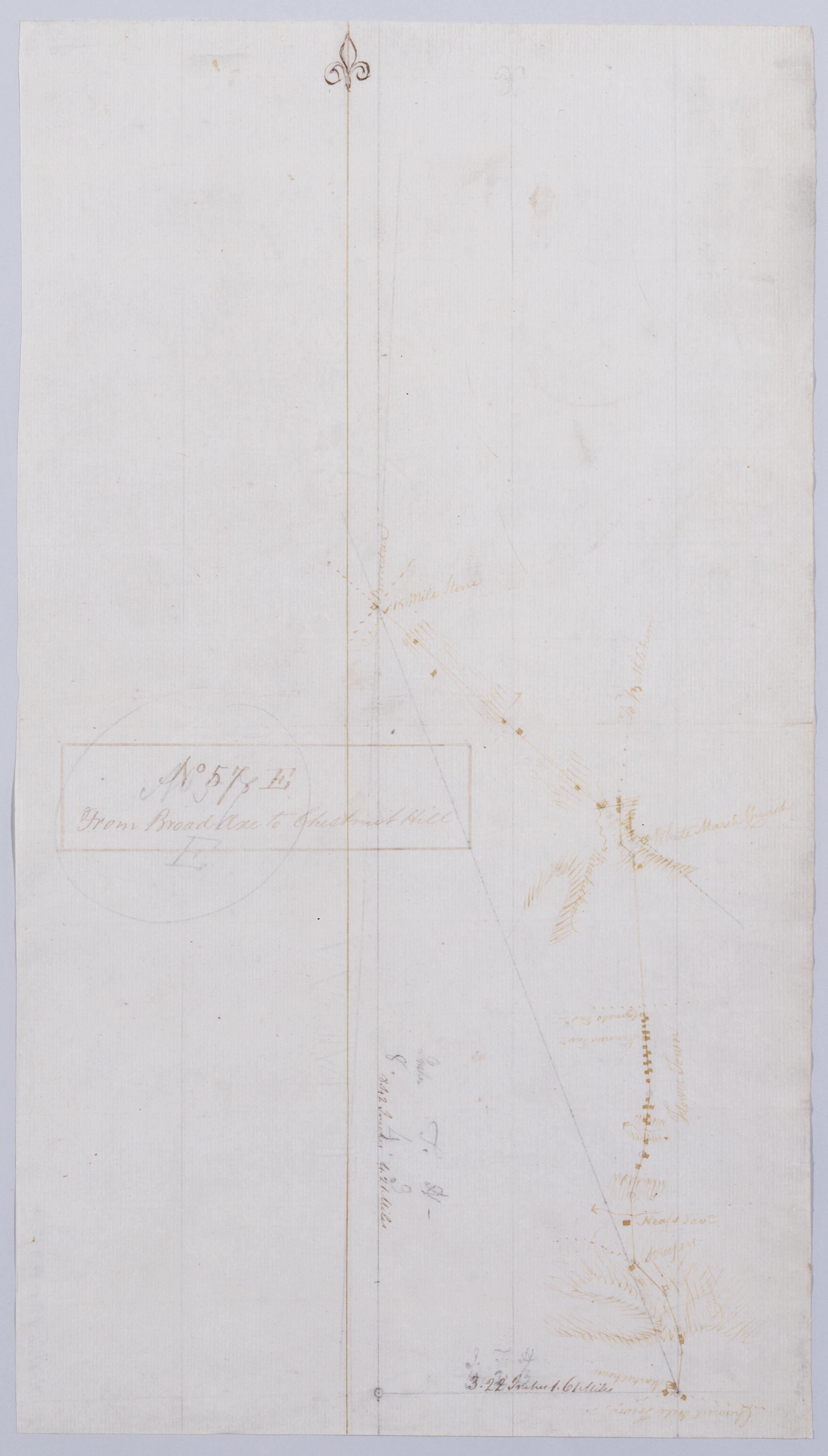
From Broad Axe to Chestnut Hill. No 57 E / by Robert Erskine F.R.S. Geogr. A. U.S. and Assistants.
In ink on verso: "No 57 E". In pencil on recto: "57 E". Military topographic map. Covers Montgomery County- Pennsylvania. Shows roads running through Whitemarsh and Springfield toward Chestnut Hill. Also shows buildings and owners' names- landforms and streams. Pen-and-ink- pencil on laid paper. Shows relief by hachures. Soiled- creased and abraded. Ink faded. Mounted on cloth- bound and cropped- disbound and silked by subsequent owners. Cleaned after removal of backings 1999; some fill remains. Sheathed in mylar.
View Item