


Cartographic
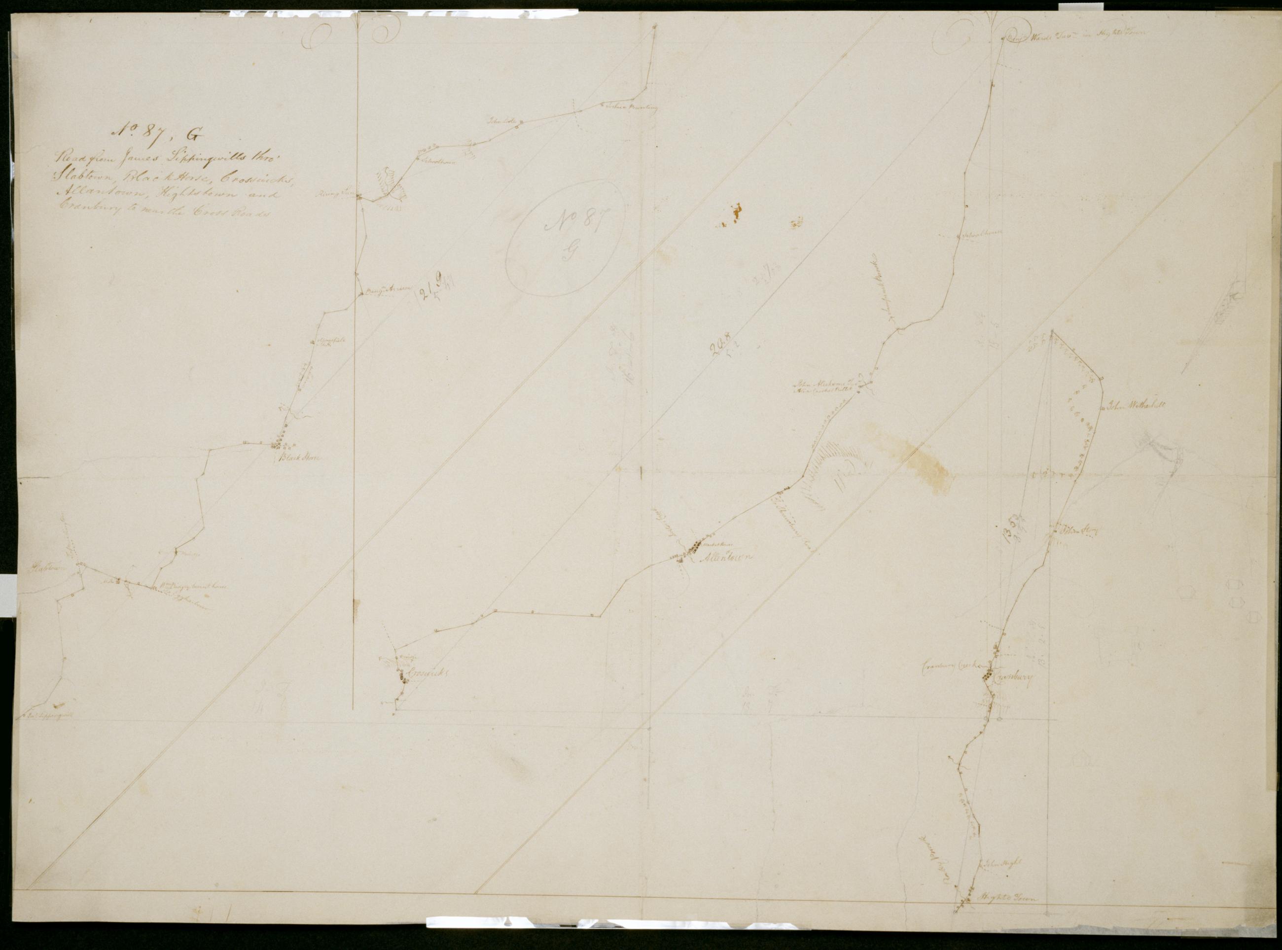
Road from James Sippingwills thro' Slabtown Black Horse Crosswicks Allantown Hightstown and Cranbury to near the Cross Roads. No. 87 G / by Robert Erskine F.R.S. Geogr. A. U.S. and Assistants.
In pencil on recto: "No 87 G". Military topographic map in 3 segments; those to right of sheet fit north of the leftmost. Map covers the townships of Chesterfield- Mansfield- Springfield- Easthampton and Hamilton in Burlington County- East Windsor and Washington in Mercer County- and Upper Freehold in Monmouth County- New Jersey. Shows roads running through Mount Holly- Jacksonville- Columbus- Mansfield and Mansfield Square; Crosswicks- Allentown- New Canton and New Sharon; Hightstown and Cranbury. Also shows buildings and owners' names- landforms and streams.
View Item
