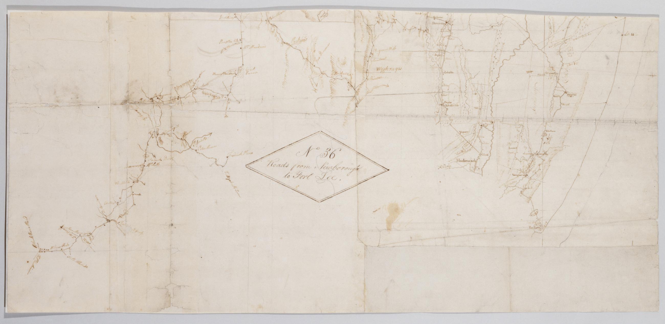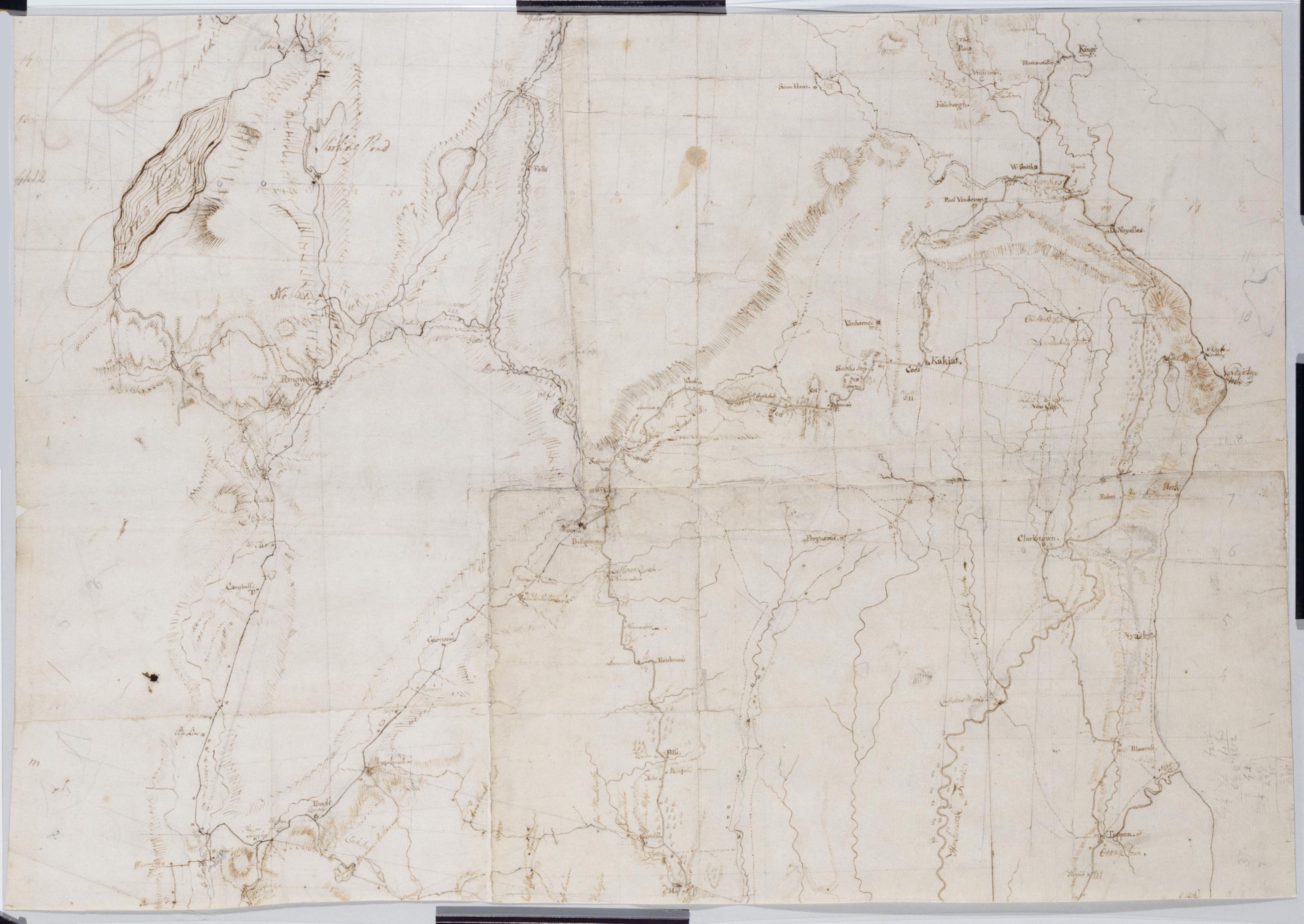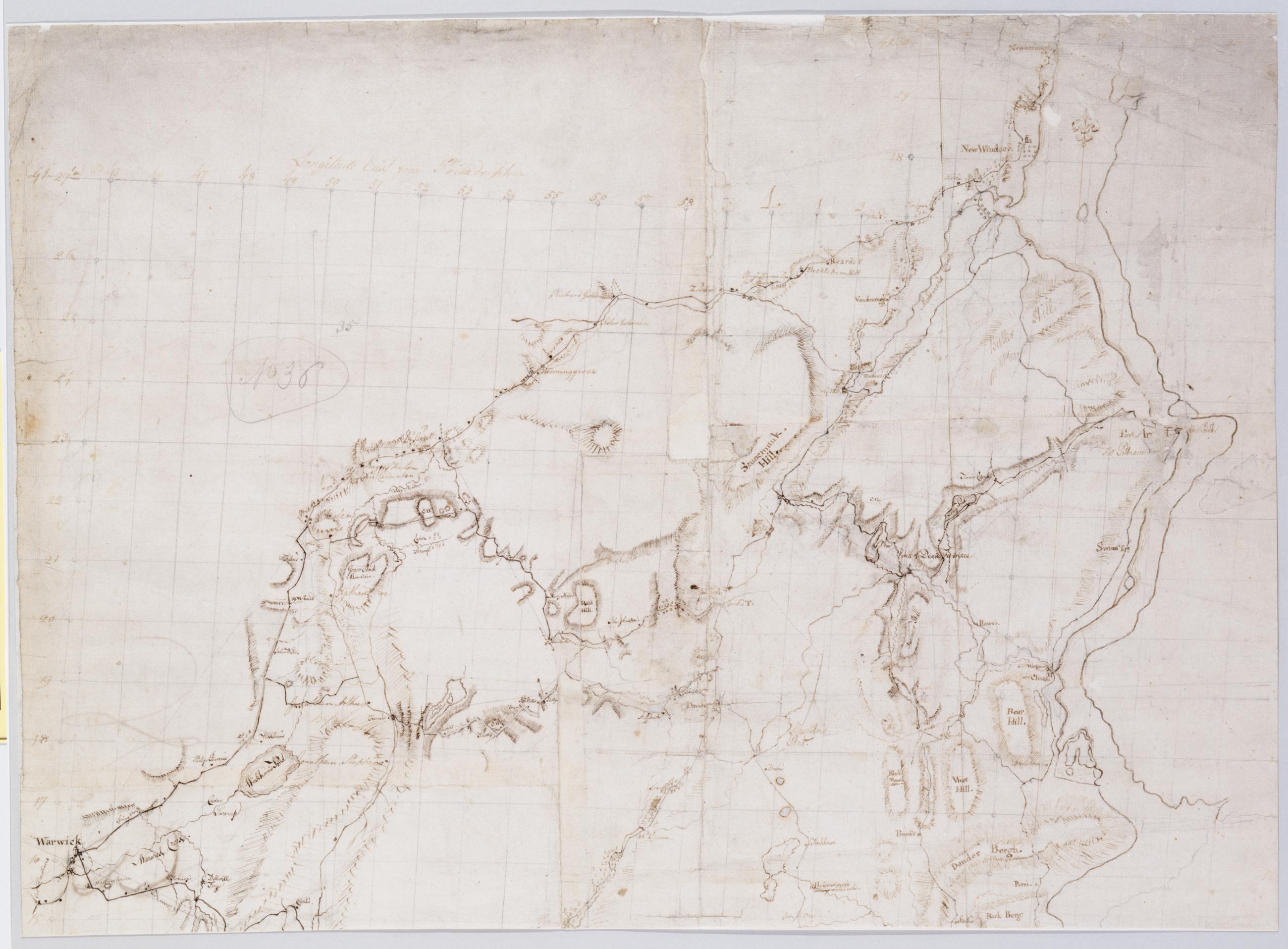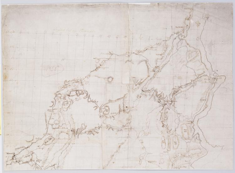
Cartographic
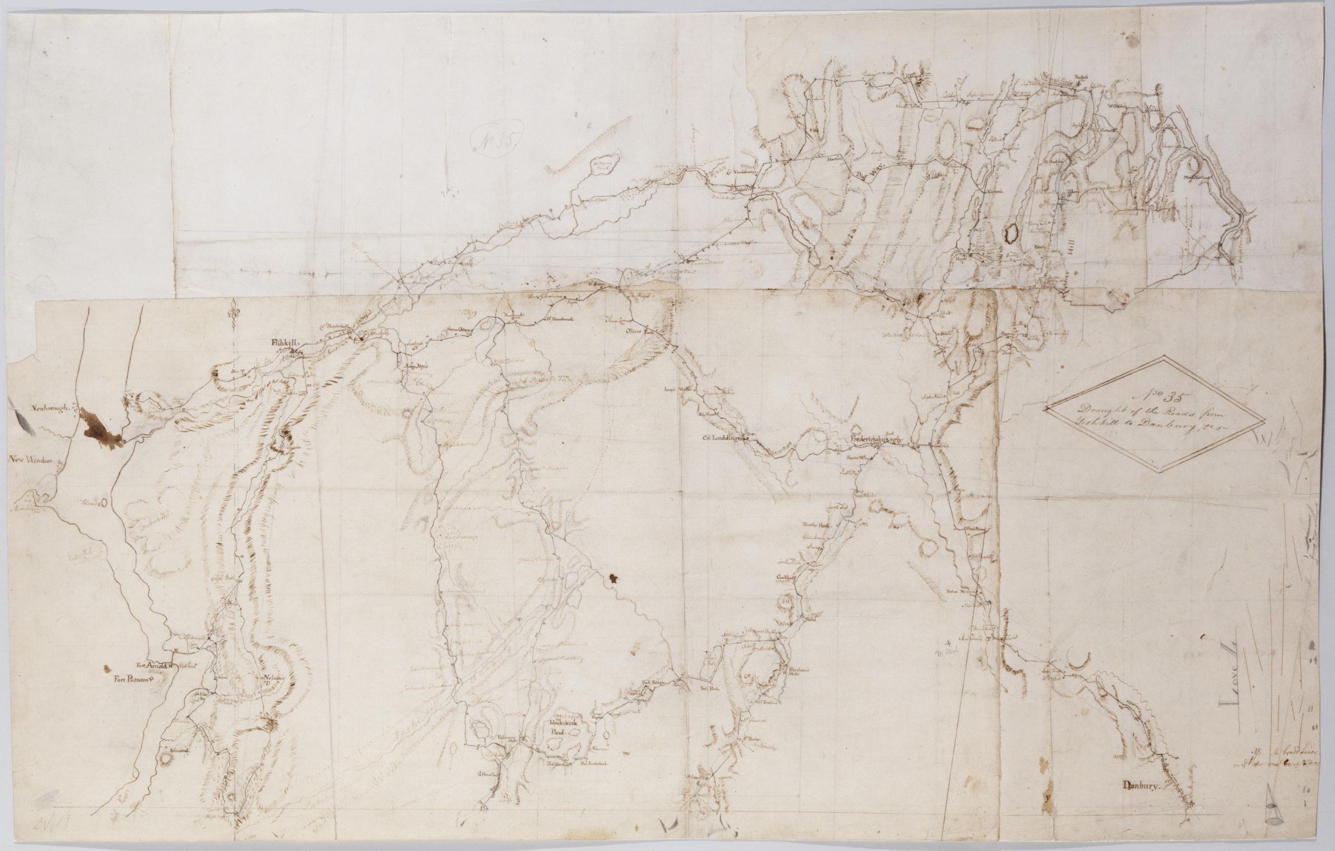
Draught of the Roads from Fishkill to Danbury &c. &c. No 35 / by Robert Erskine F.R.S. Geogr. A. U.S. and Assistants.
In pencil on recto: "No 35-" "Love L". Military topographic map. Covers an area between the Hudson and Houstonic Rivers; i.e.- most of Putnam and Dutchess Counties in New York- northern Fairfield County and part of Litchfield County in Connecticut. Shows roads- buildings and owners' names- also landforms and streams. Pen-and-ink- pencil on five pieces laid paper- assembled. Sixth piece at upper left has wove finish. Shows relief by hachures. Title proper from recto is the work of a later editor--Simeon DeWitt or his assign--subsequent to 1820.
View Item