


Cartographic
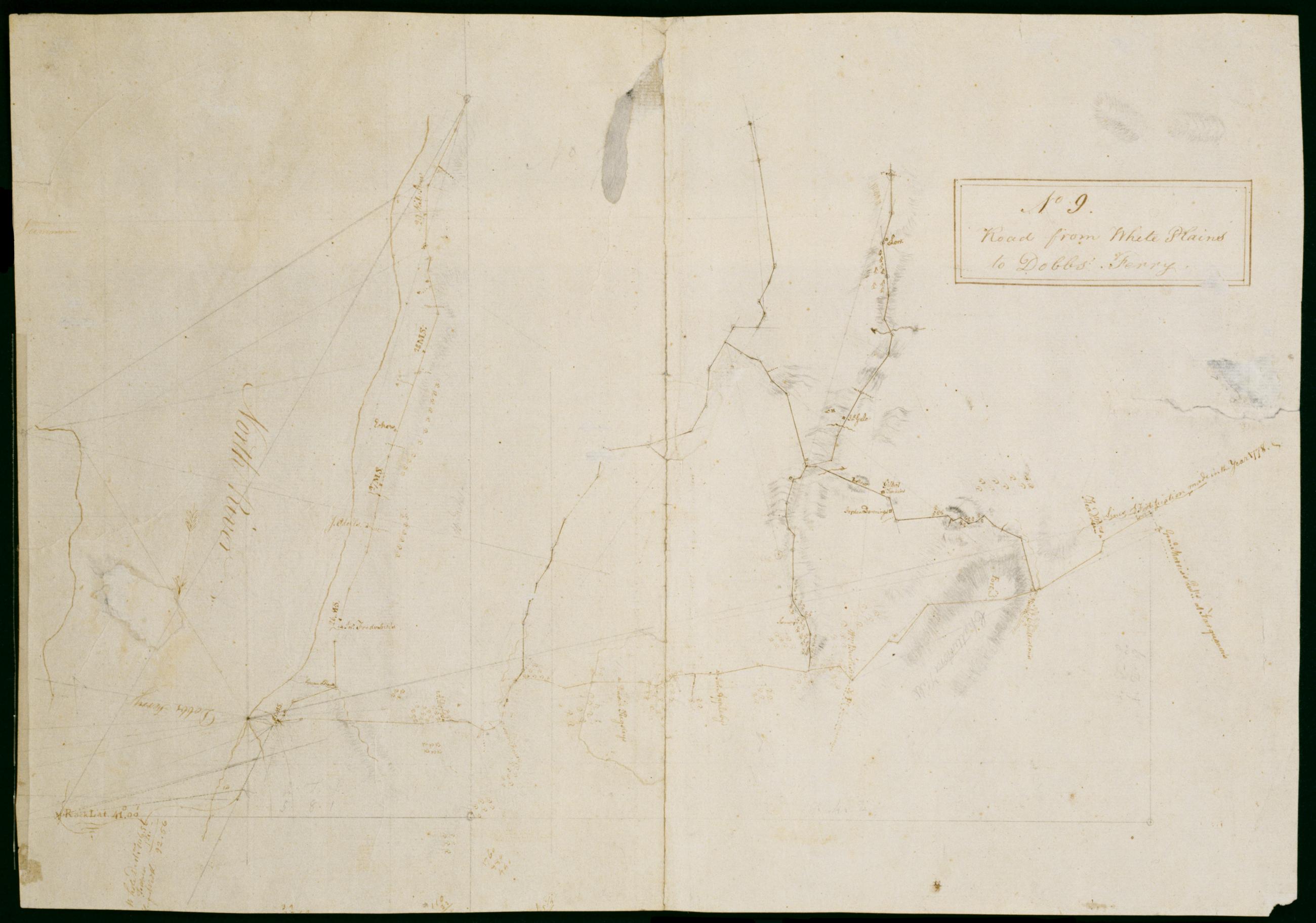
Road from White Plains to Dobbs' Ferry. No 9 / by Robert Erskine F.R.S. Geogr. A. U.S. and Assistants ; F.R.S. & G.H.E.G.W & A.U.S W. Scull M.A.P.S. & A G H E G W & A U S Member of the American [P]hilosop[ical Society] & Assistant Geographer to his Exc[el
In faint pencil on verso: "Capt Sc ..." The remainder of this text was lost in cropping. In ink on verso: "No. 9--". Includes text: "Lines of Fortification made in the year 1778-" "Genl. Morriss Qutrs. at Farguoner's." Military topographic map. Covers an area in southern Westchester County- New York. Shows roads running through Tarrytown- Irvington- Abbotsford- Dobbs Ferry- Ardsley- Elmsford- Harts Corners and White Plains. Also show buildings and owners' names; landforms and streams.
View Item
