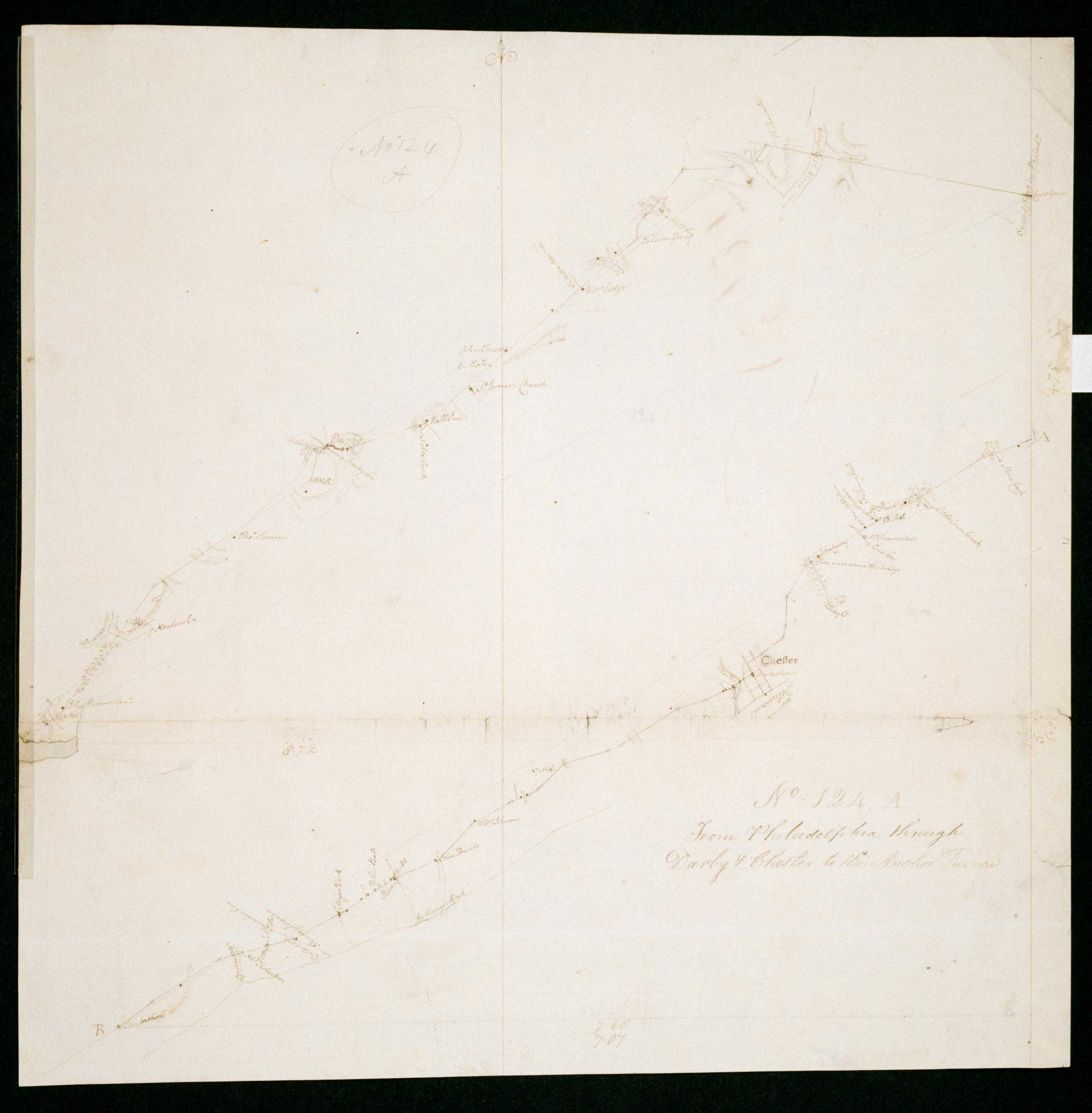
Cartographic
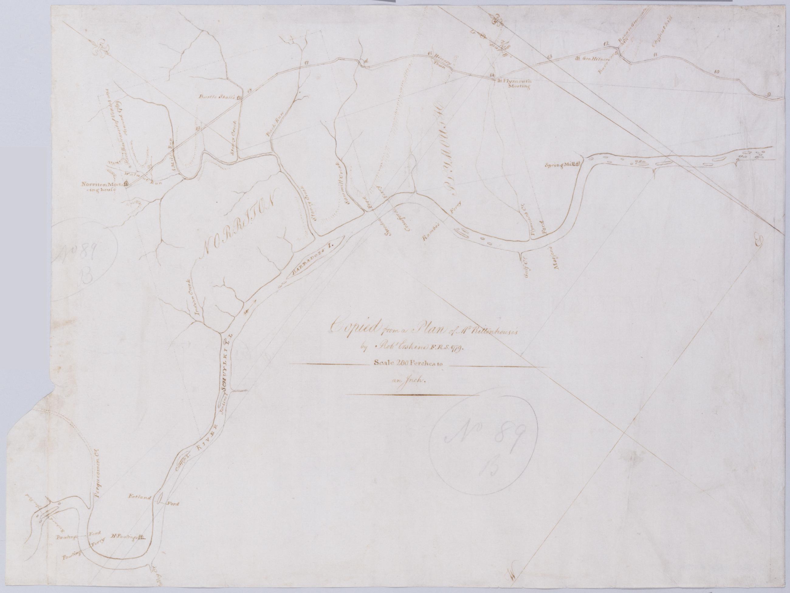
[A Contraction of Do.] No. 89 B. / Copied from a Plan of Mr Rittenhouse's by Robt Erskine F.R.S. 1779 ; by Robert Erskine F.R.S. Geogr. A. U.S. and Assistants.
Foxed- soiled- frayed. Sheathed in mylar. In ink on verso: "No. 89 B." In pencil on recto: "No 89 B". Military topographic map. Covers the counties of Chester- Montgomery and Delaware- Pennsylvania. Shows roads running through Norristown and Philadelphia. Also shows buildings and owners' names- landforms and streams. No title on recto or verso; title proper supplied by cataloger. Title number from map verso. First statement of responsibility from map recto.
View Item