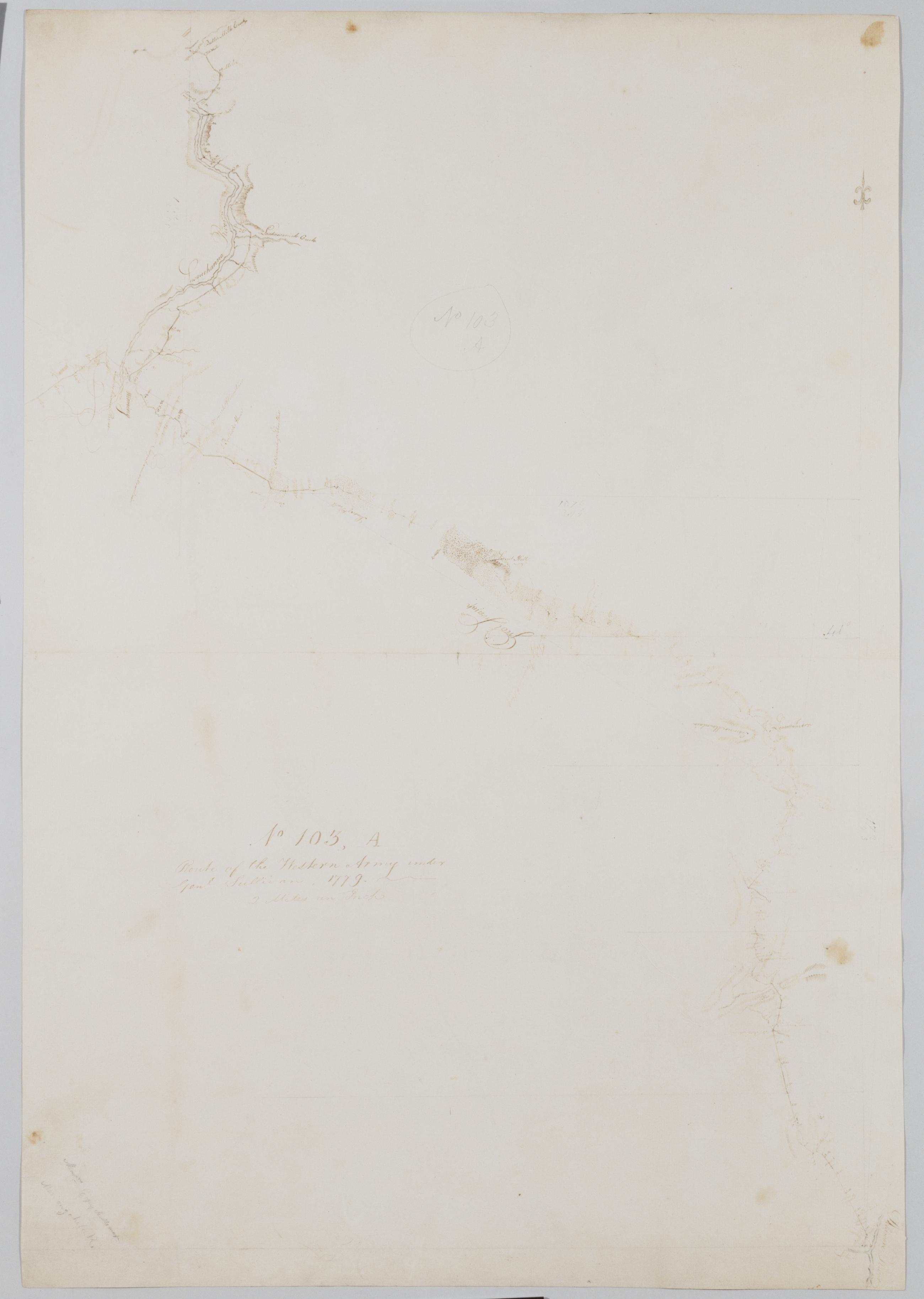
Cartographic
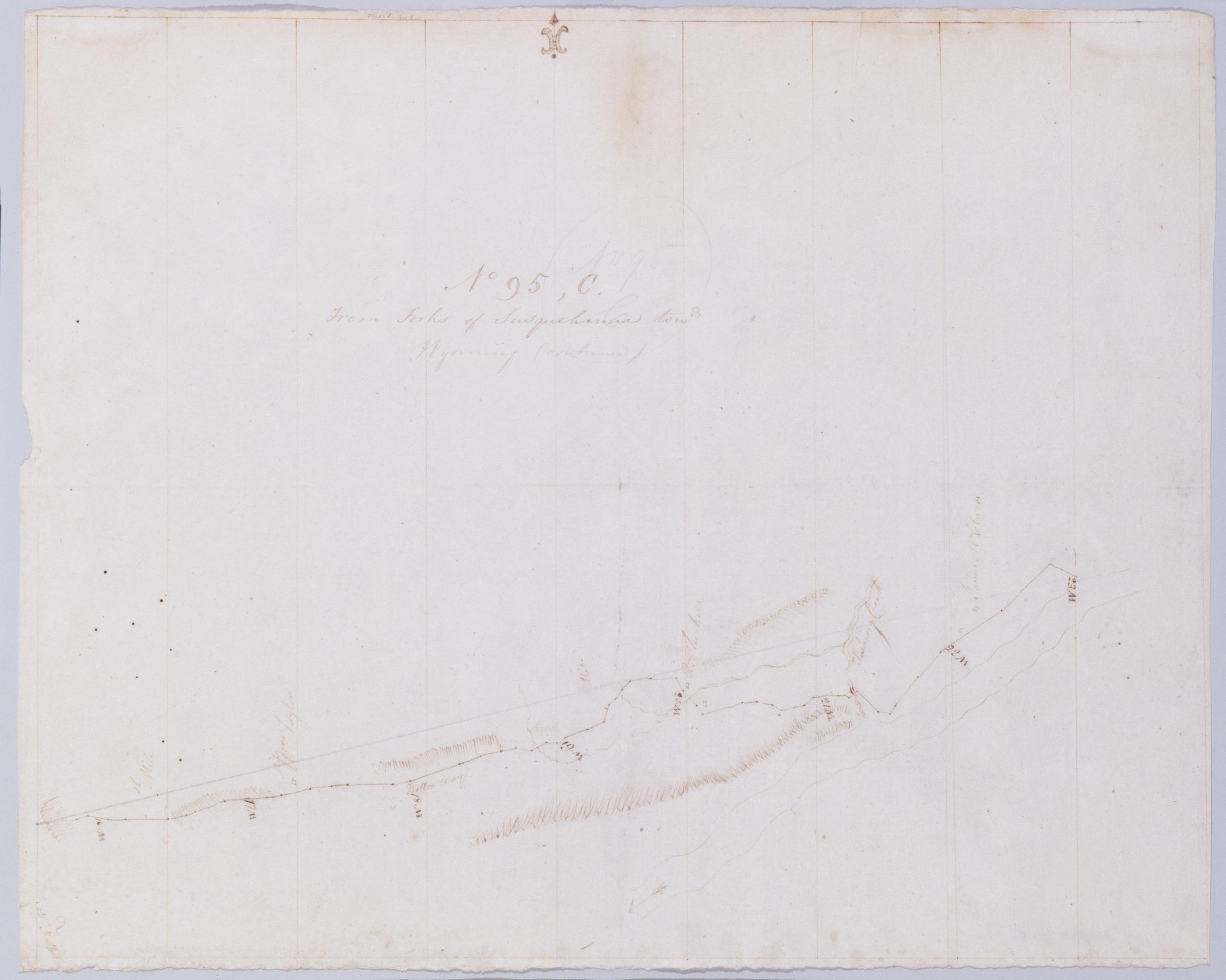
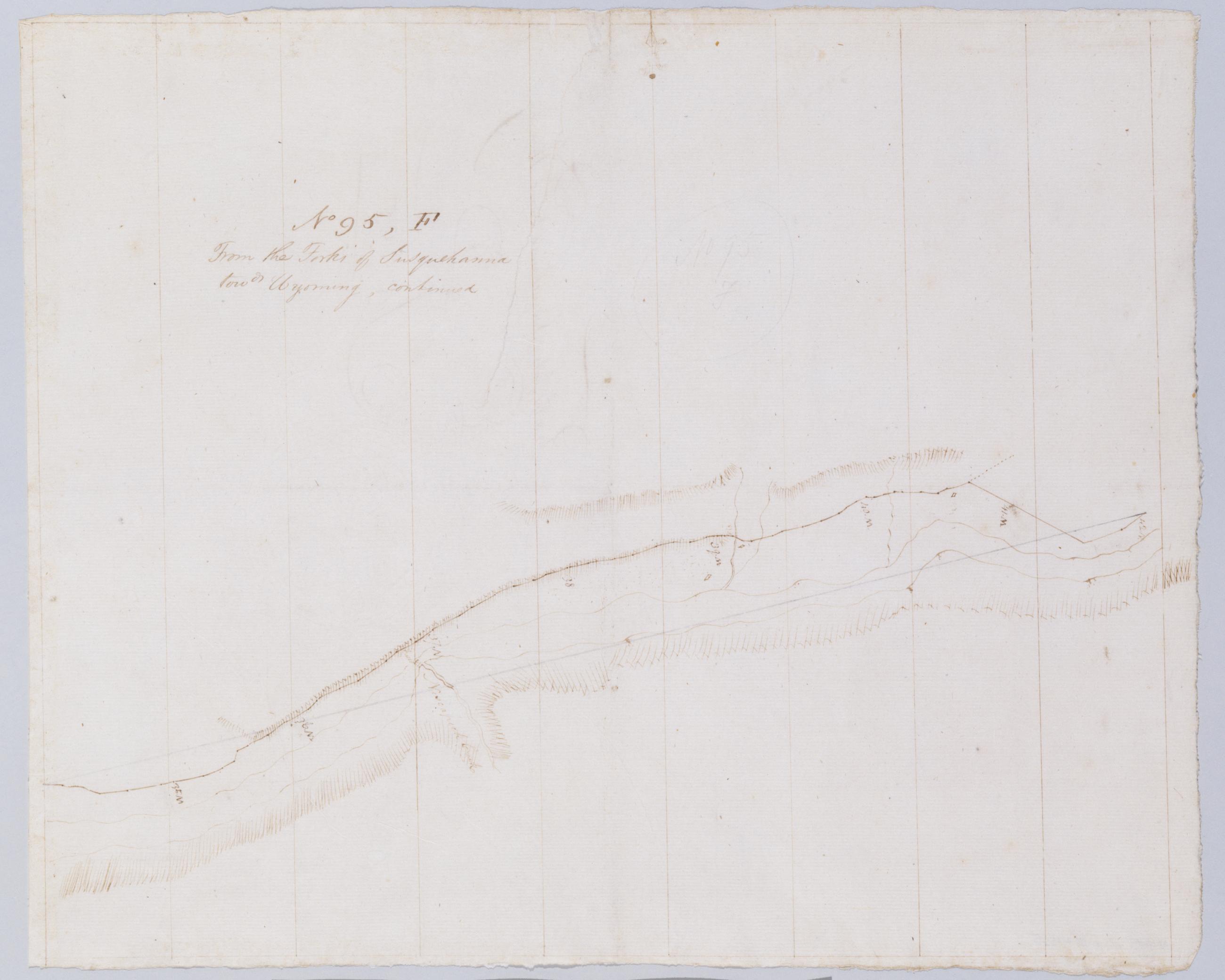
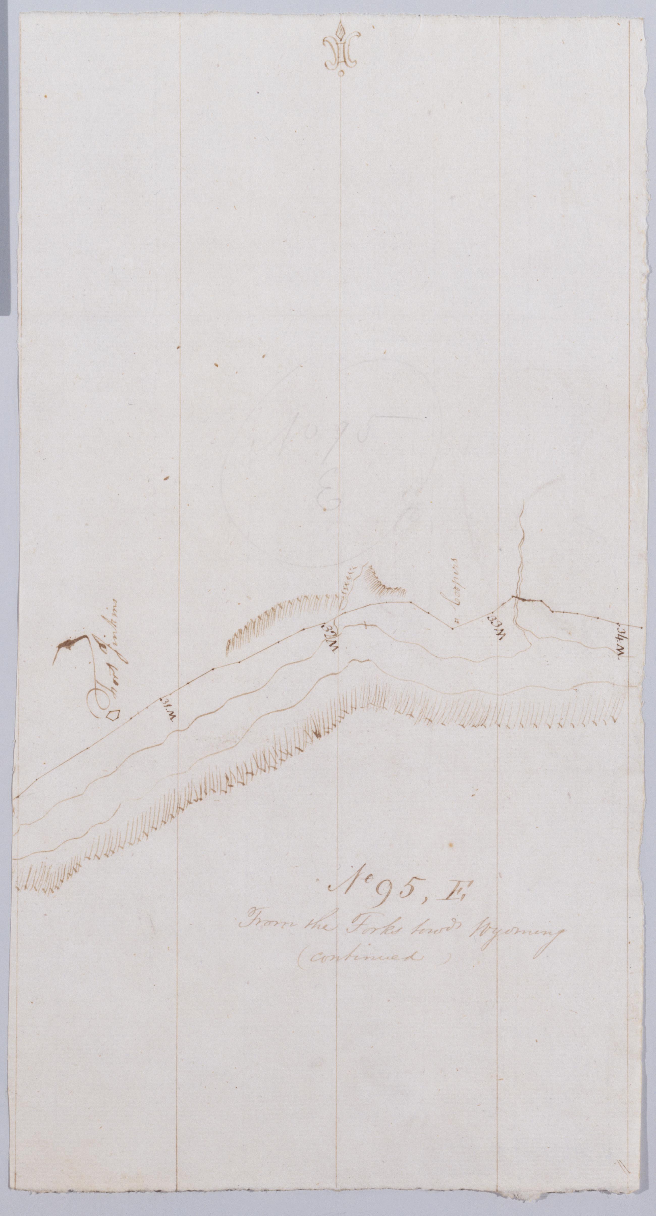
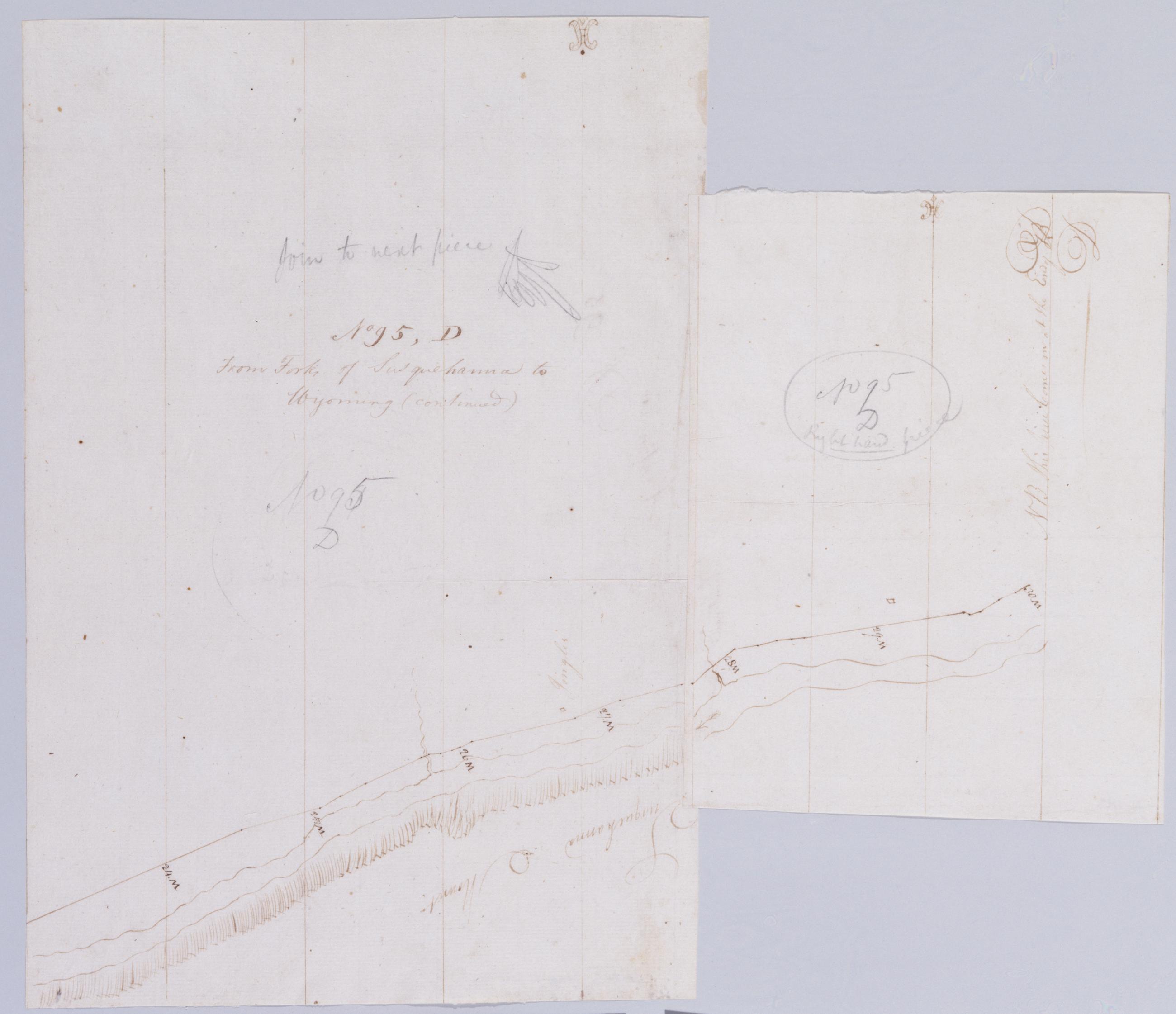
From Forks of Susquehanna to Wyoming (continued). No 95 D / by Robert Erskine F.R.S. Geogr. A. U.S. and Assistants.
Foxed- creased and abraded. Mounted on cloth- cropped and bound- disbound and silked by subsequent owners. Cleaned after removal of backings 1999; some fill remains. Sheathed in mylar. In ink on verso of second piece: "D. Continued--". In pencil on recto- lefthand piece: "No 95 D" and "Join to next piece." On righthand piece: "No 95 D right hand piece." Military topographic map. Covers part of Columbia County in Pennsylvania. Shows roads running through Almedia and Bloomsburg. Also shows landforms and streams. Pen-and-ink- pencil on laid paper. Shows relief by hachures.
View Item