Cartographic
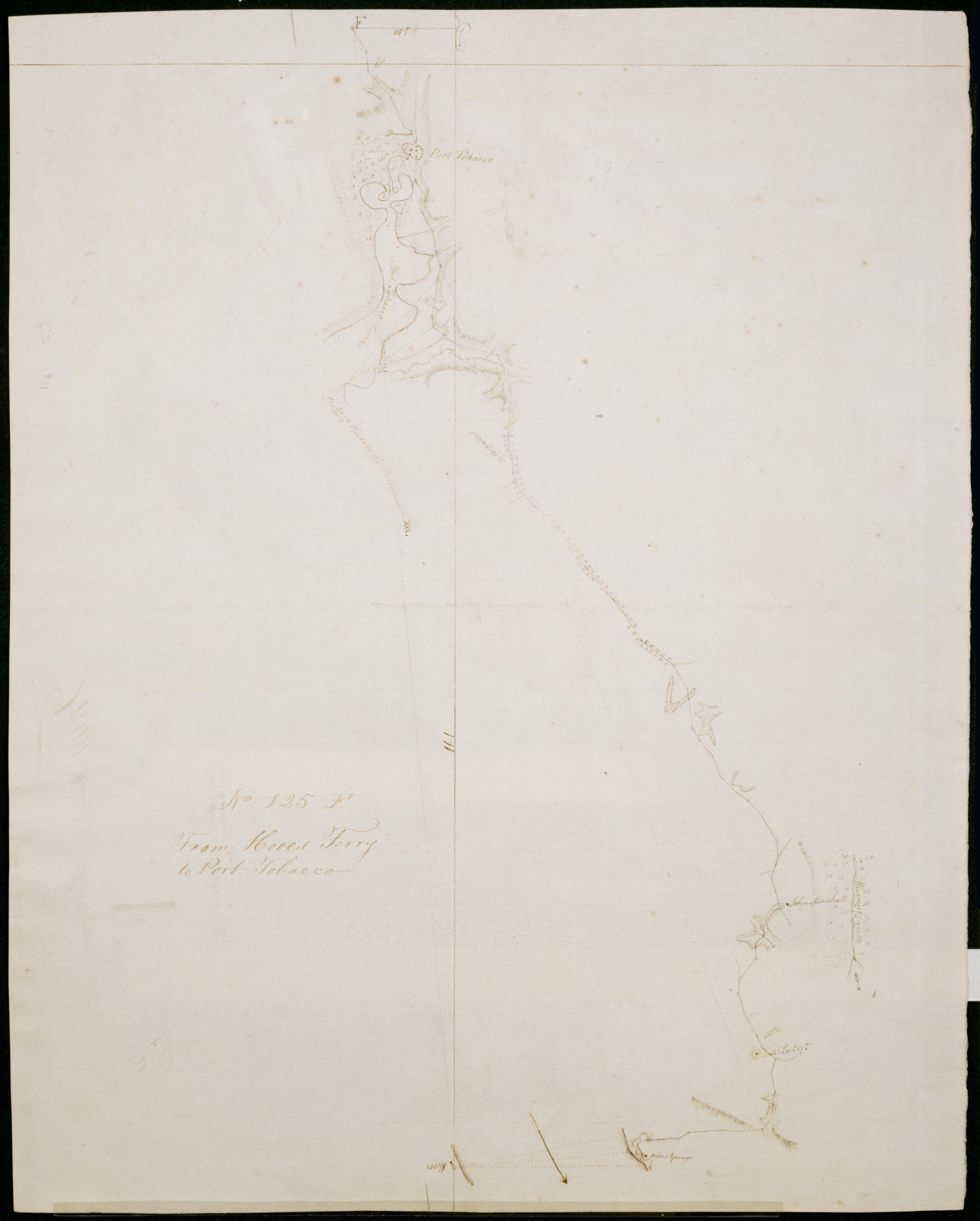
From Hooes Ferry to Port Tobacco. No 125 F / by Robert Erskine F.R.S. Geogr. A. U.S. and Assistants
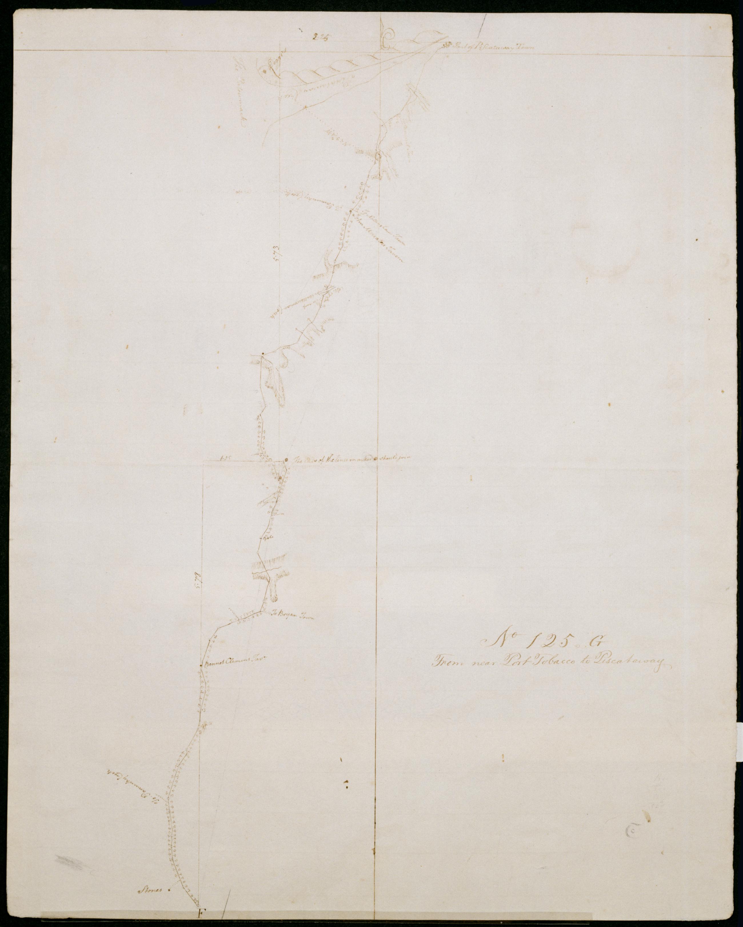
Date inferred by cataloger. Foxed- soiled and abraded. Mounted on cloth- bound and cropped- disbound and silked by subsequent owners. Cleaned after removal of backings 1999; some fill remains. Sheathed in mylar. Military topographic map. Covers Charles County in Maryland. Shows roads running through Newburg- Lothair Station- Bel Alton and Port Tobacco. Also shows buildings- landforms and streams. Pen-and-ink- pencil on laid paper. Shows relief by hachures. Title proper from recto is the work of a later editor--Simeon DeWitt or his assign--subsequent to 1820.
View Item