Cartographic
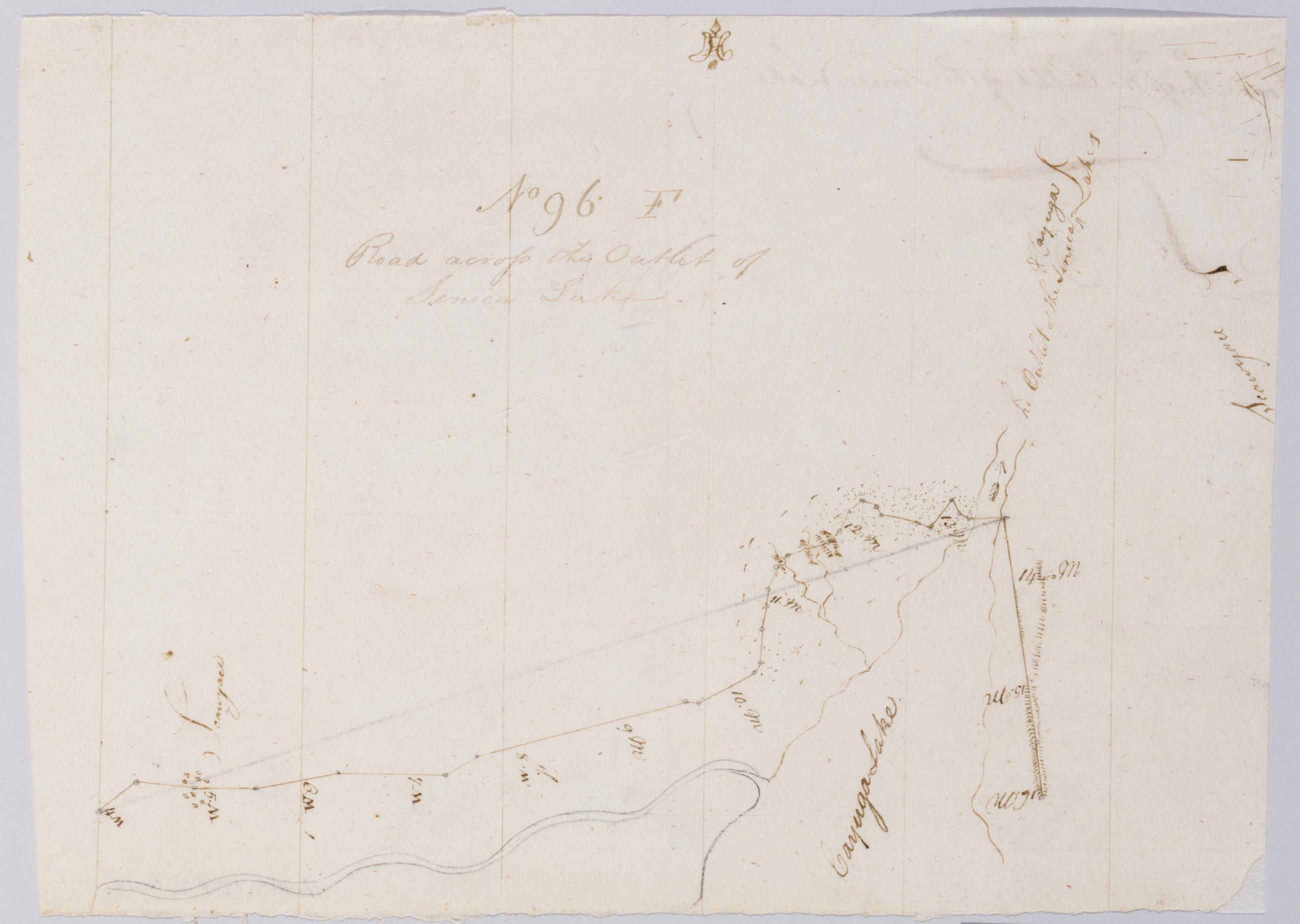
Road across the Outlet of Seneca Lake. No 96 F / by Robert Erskine F.R.S. Geogr. A. U.S. and Assistants.
In erased pencil on recto- "No 96 F". Military topographic map. Covers the towns of Springport and Aurelius in Cayuga County and of Seneca Falls in Seneca County- New York. Shows roads running through Waterloo- Seneca Falls and Cayuga. Also shows landforms and streams. Pen-and-ink- pencil on laid paper. Scale statement from verso of sheet 96-A. Shows relief by hachures. Soiled- creased and abraded. Mounted on cloth- cropped- bound- disbound and silked by subsequent owners. Cleaned after removal of backings 1999; some fill remains. Sheathed in mylar.
View Item