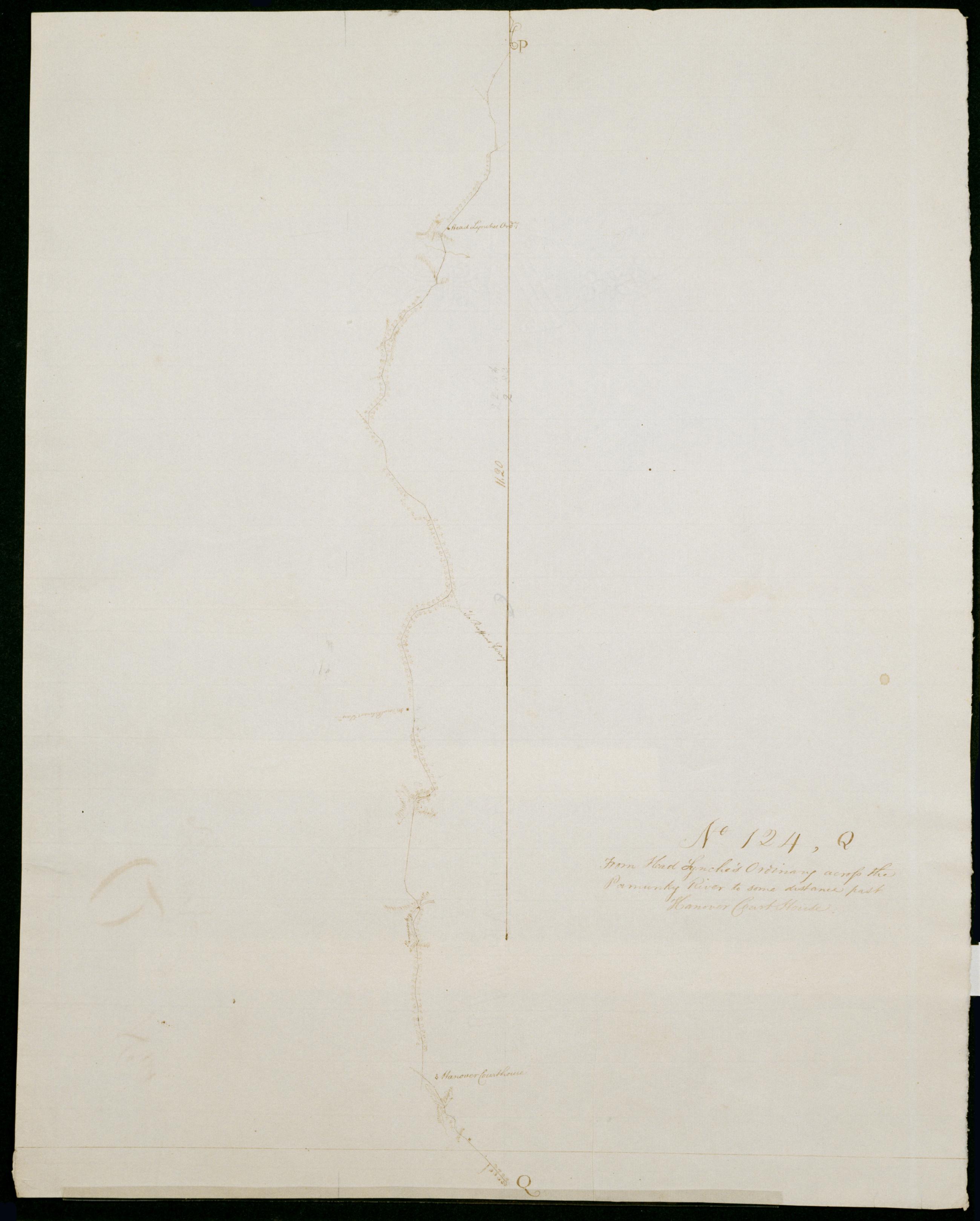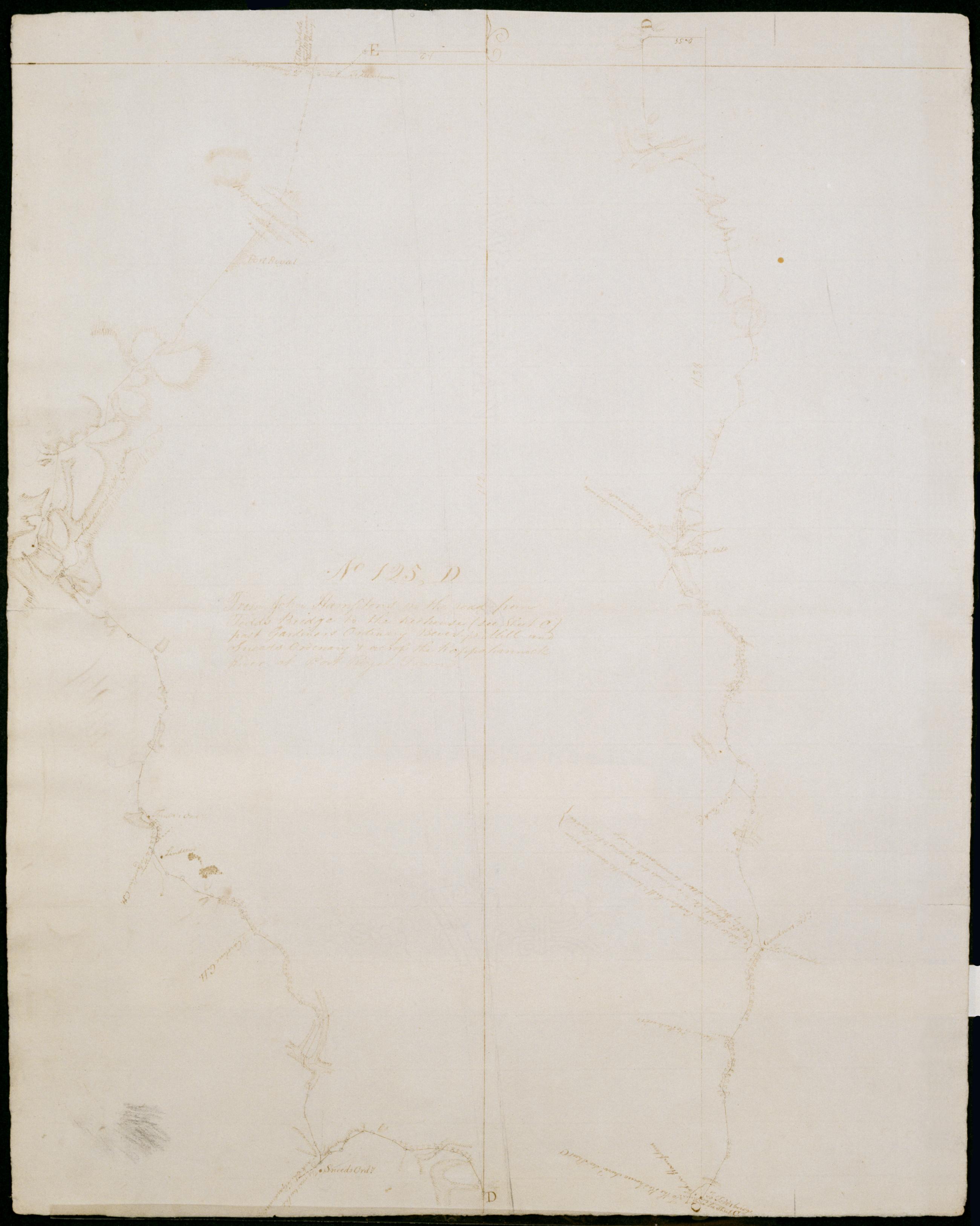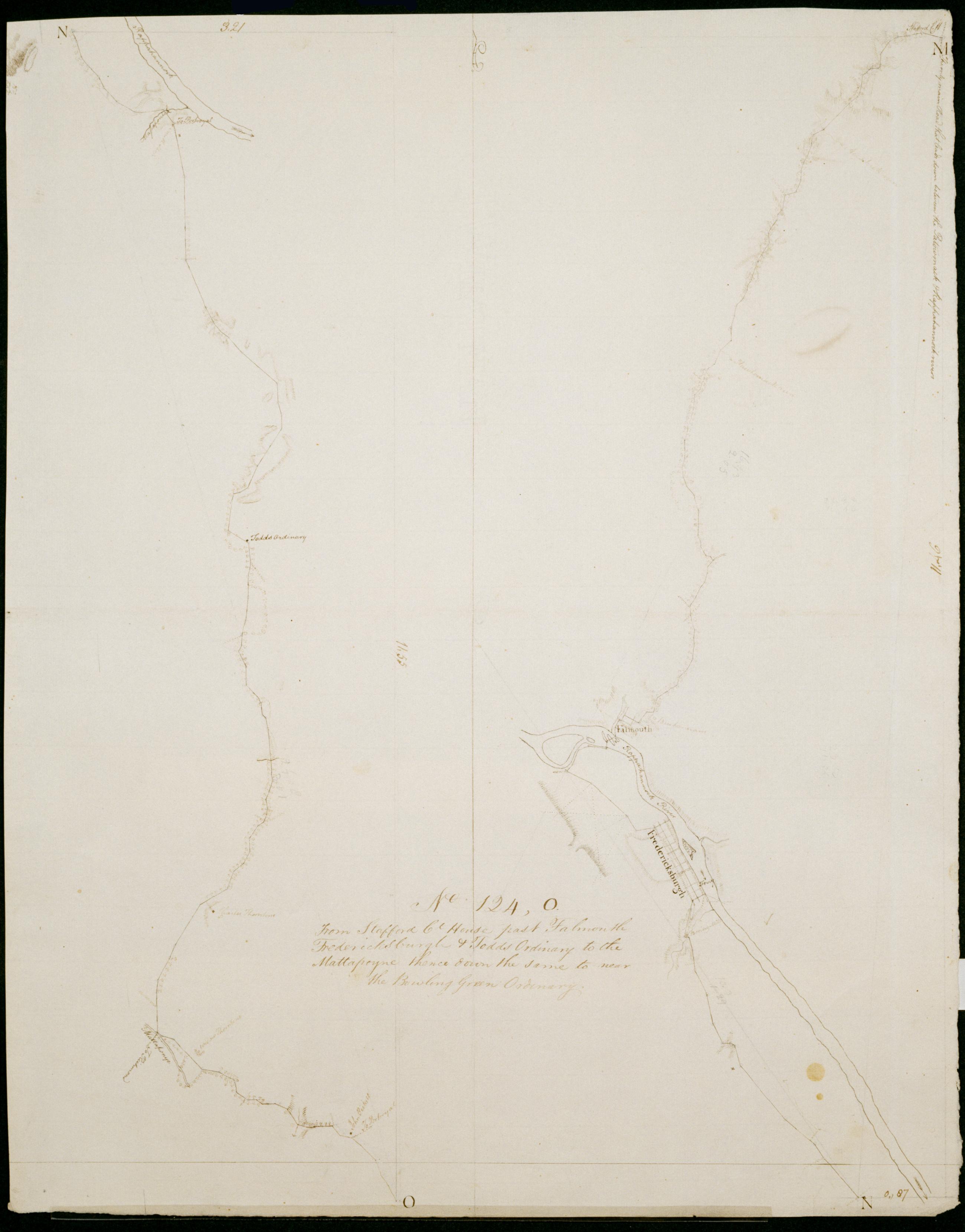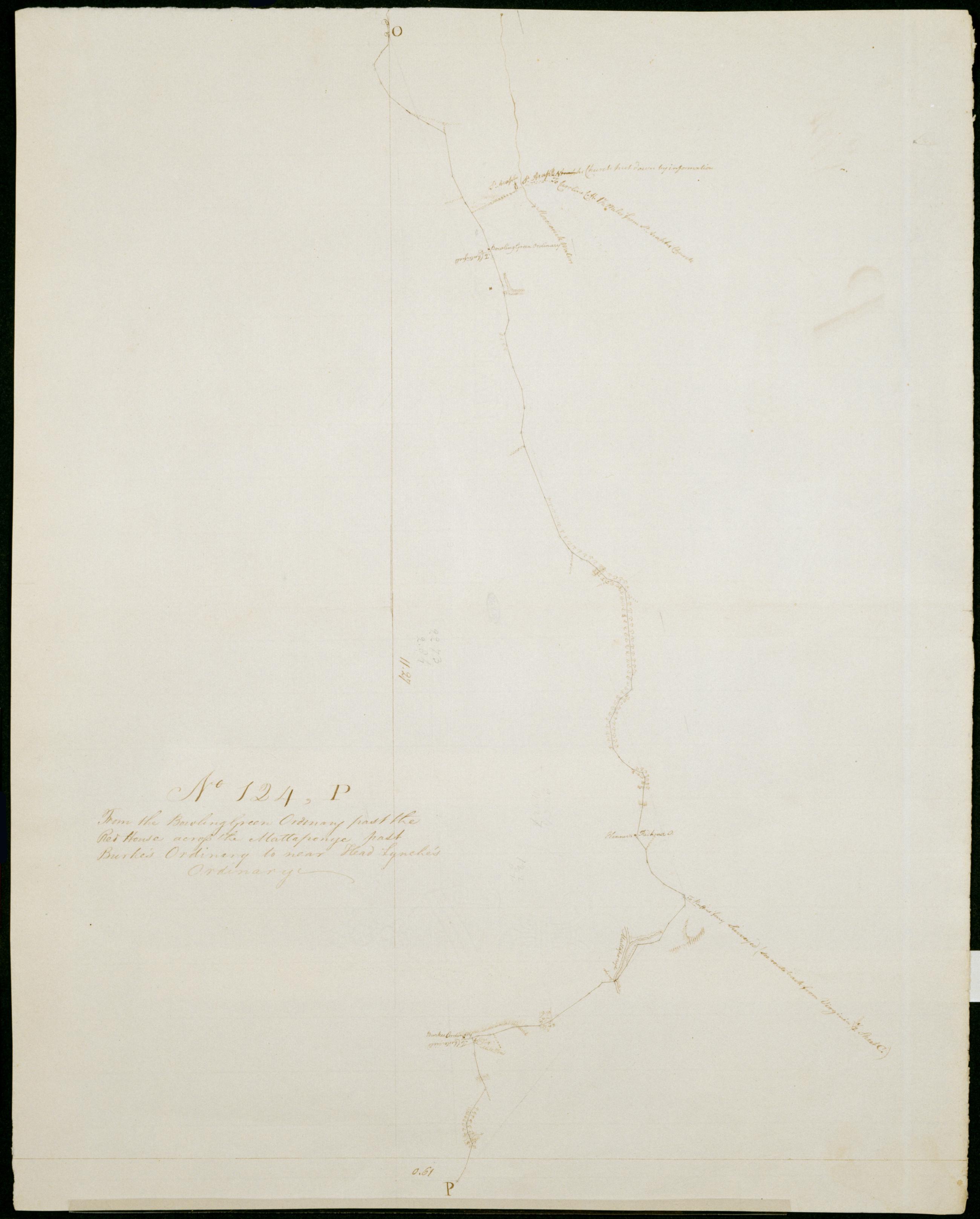
Cartographic
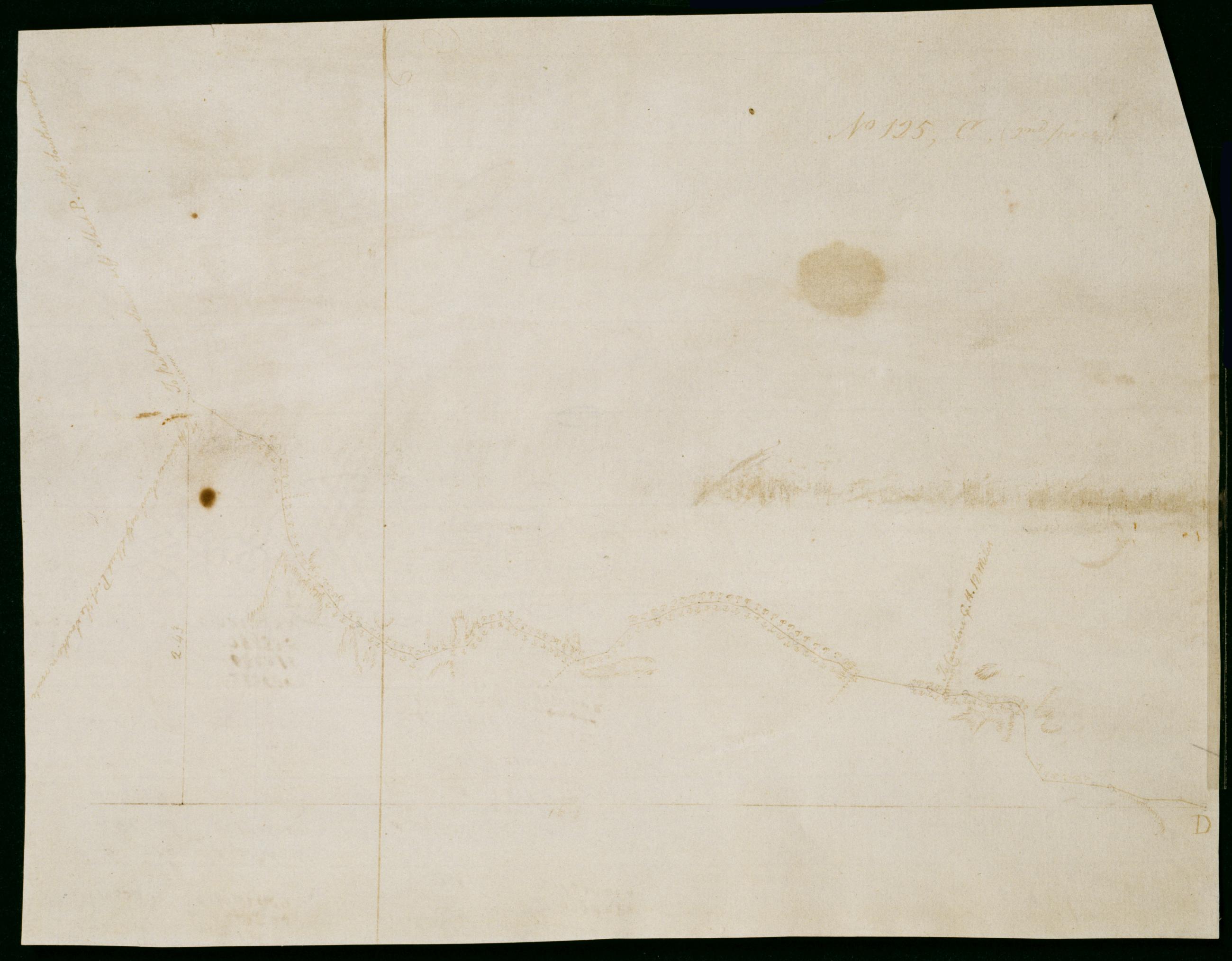
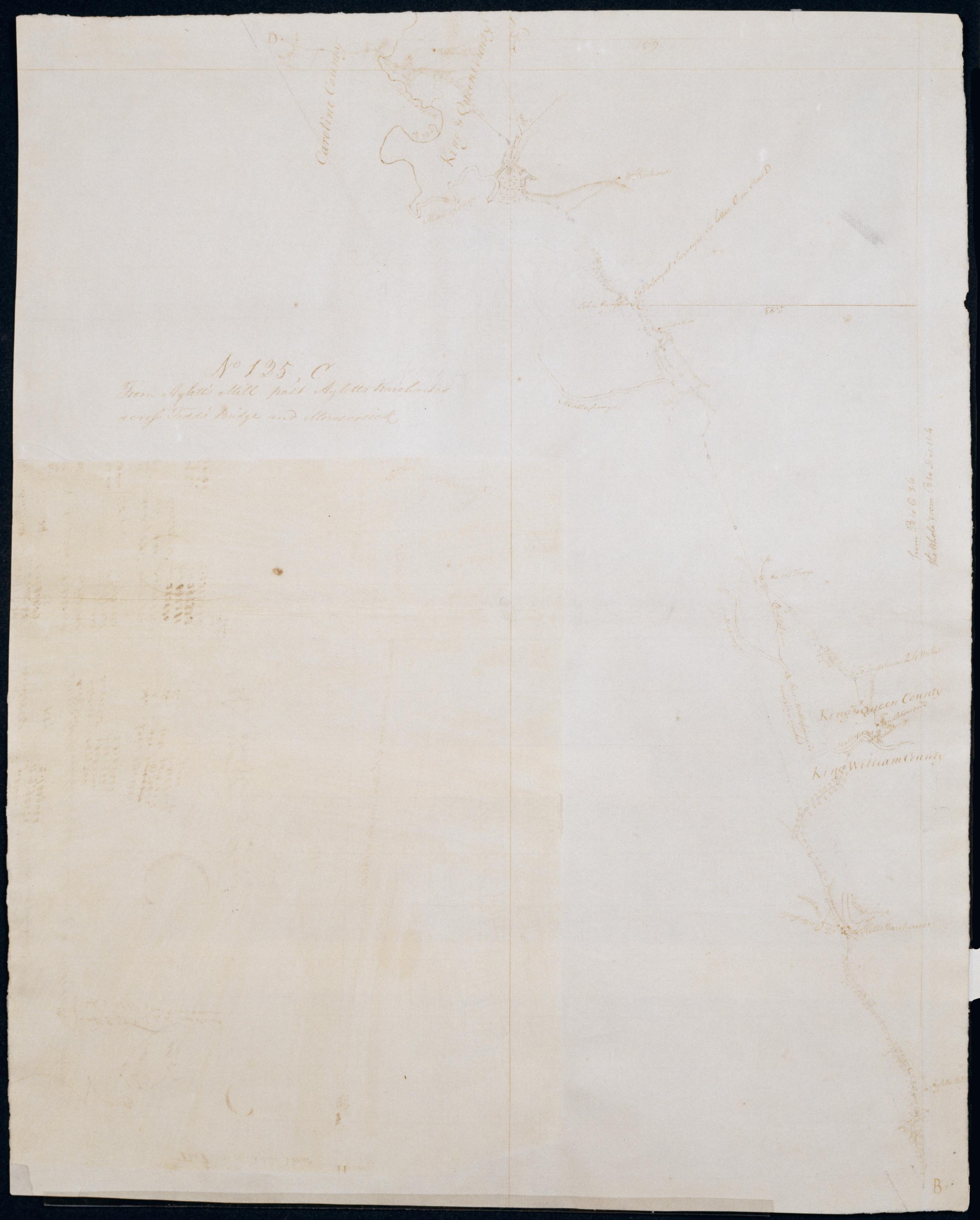
From Aylett's Mill past Ayletts Warehouses across Todd's Bridge and Moroscosick No 125 C / by Robert Erskine F.R.S. Geogr. A. U.S. and Assistants.
Date inferred by cataloger. Foxed- creased and abraded. Mounted on cloth- bound and cropped- disbound and silked by subsequent owners. Cleaned after removal of backings 1999; some fill remains. Sheathed in mylar. Military topographic map. Covers King William County- King and Queen County- and Caroline County in Virginia. Shows roads running through Aylett Mill- Aylett and Gether. Also shows buildings- landforms and streams. Pen-and-ink- pencil on laid paper. Sheet No 125- C- (2nd piece) was once incorrectly pasted to recto of this sheet. Shows relief by hachures.
View Item