Cartographic
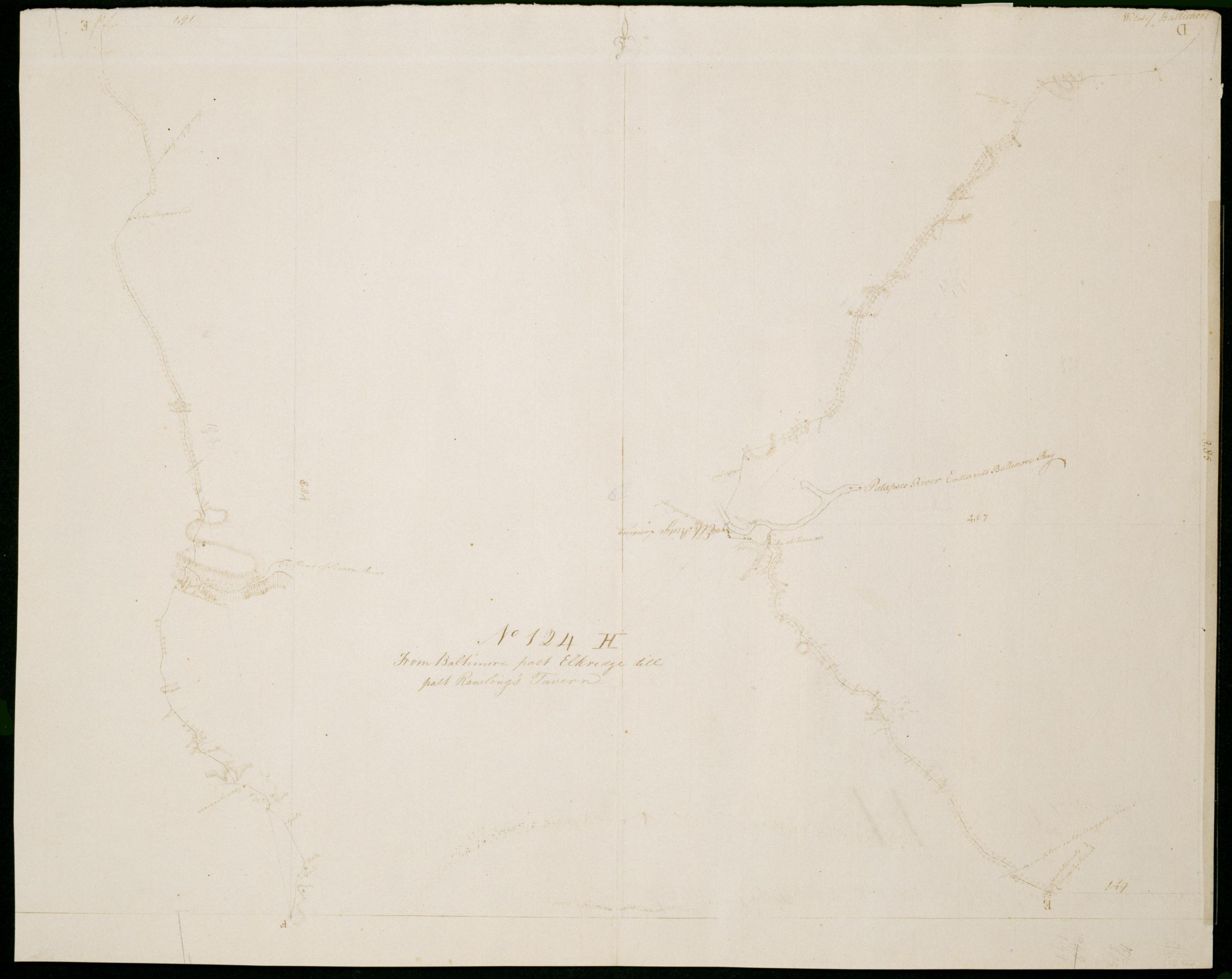
From Baltimore past Elkridge till past Rawling's Tavern. No 124 H / by Robert Erskine F.R.S. Geogr. A. U.S. and Assistants.
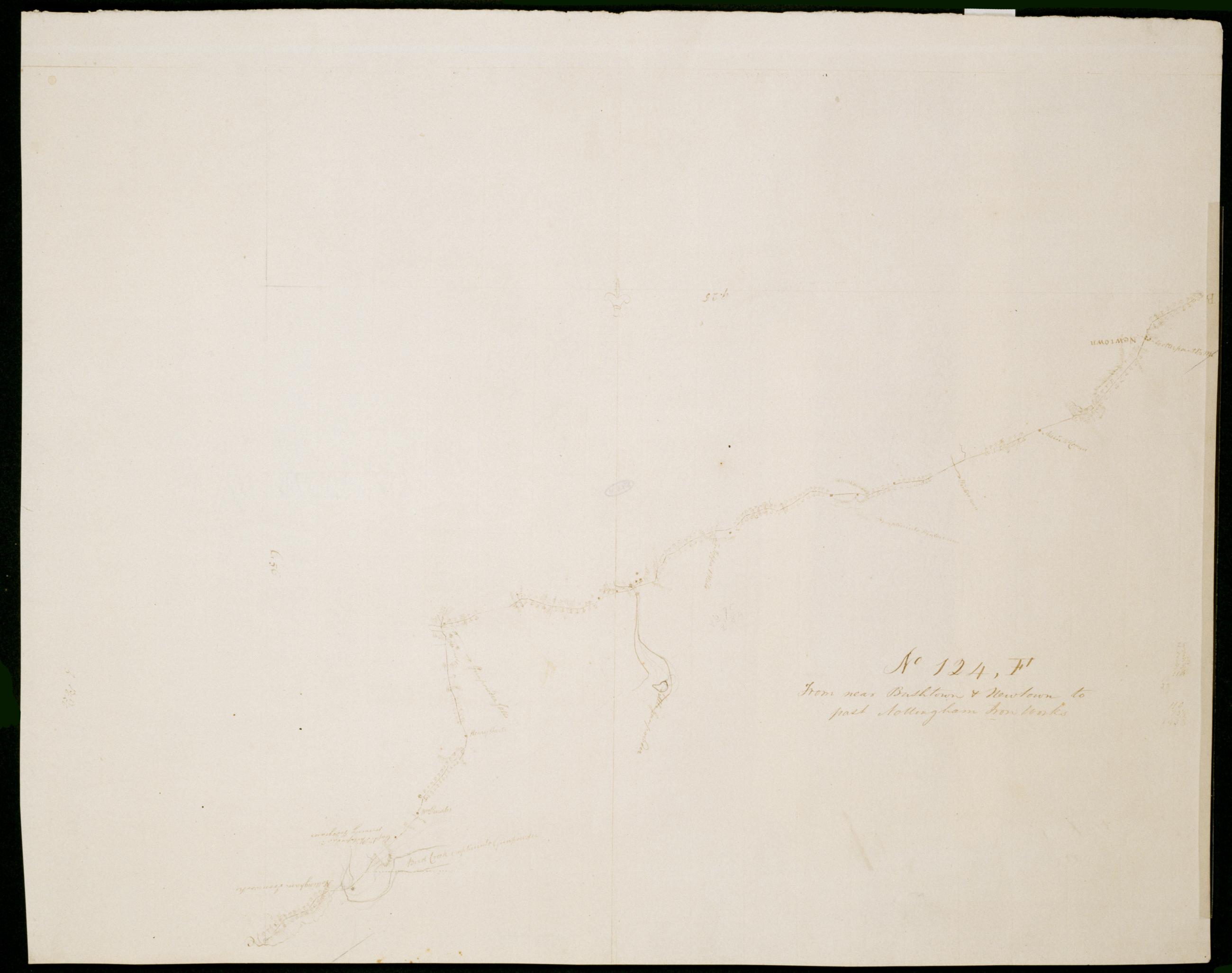
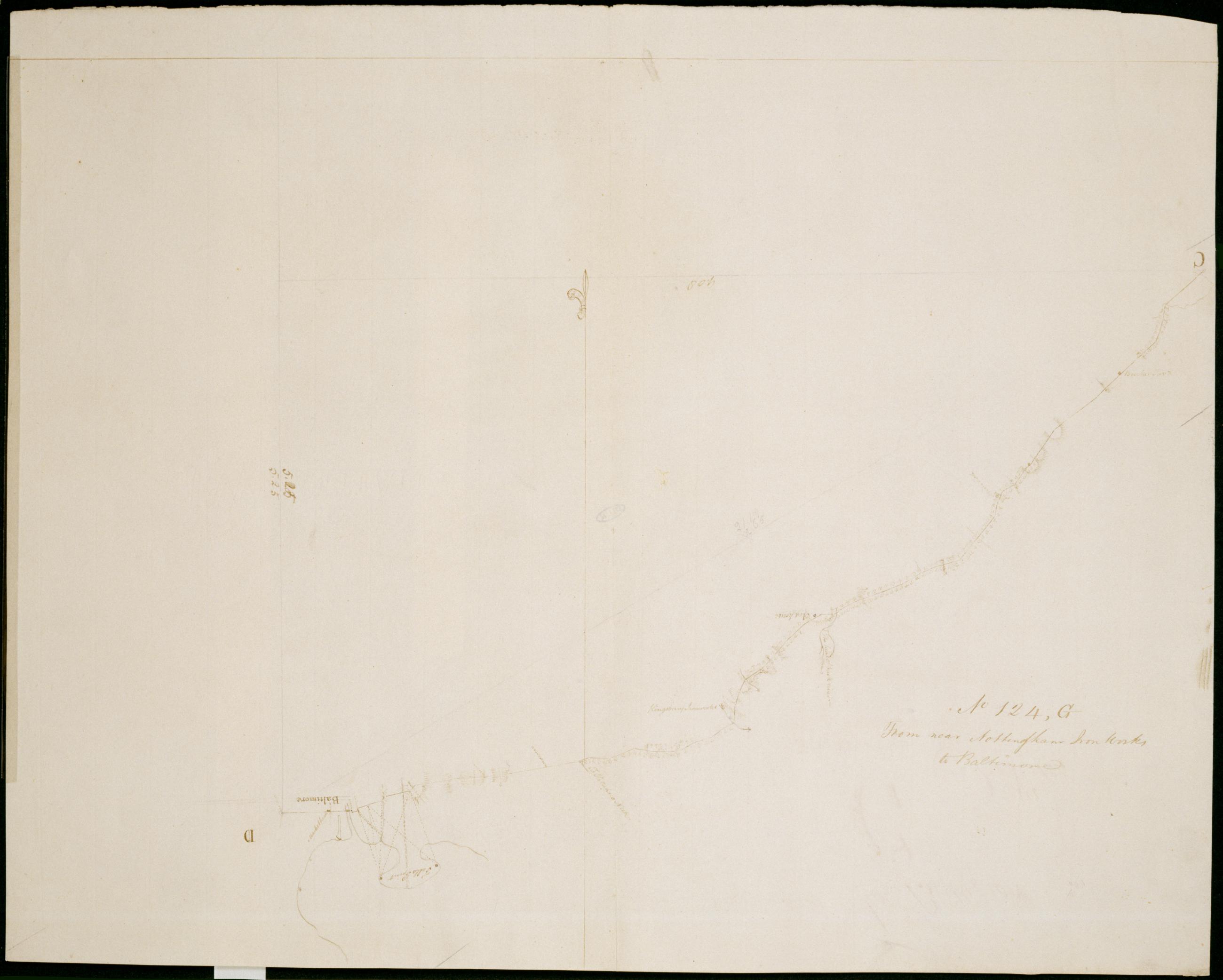
Date 1781 inferred by cataloger. Military topographic map; right segment is north of the left one. Covers the City of Baltimore and the counties of Baltimore- Howard and Anne Arundel in Maryland. Shows roads running through Baltimore- Elkridge- BWI Airport and Doors Corner- and Crownsville. Also shows buildings- landforms and streams. Pen-and-ink- pencil on laid paper. Shows relief by hachures. Soiled- creased and abraded. Mounted on cloth- bound and cropped- disbound and silked by subsequent owners. Cleaned after removal of backings 1999; some fill remains. Sheathed in mylar.
View Item