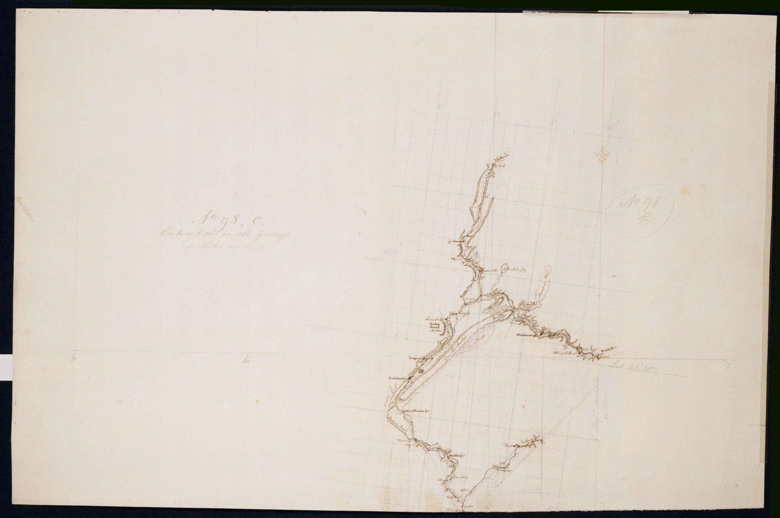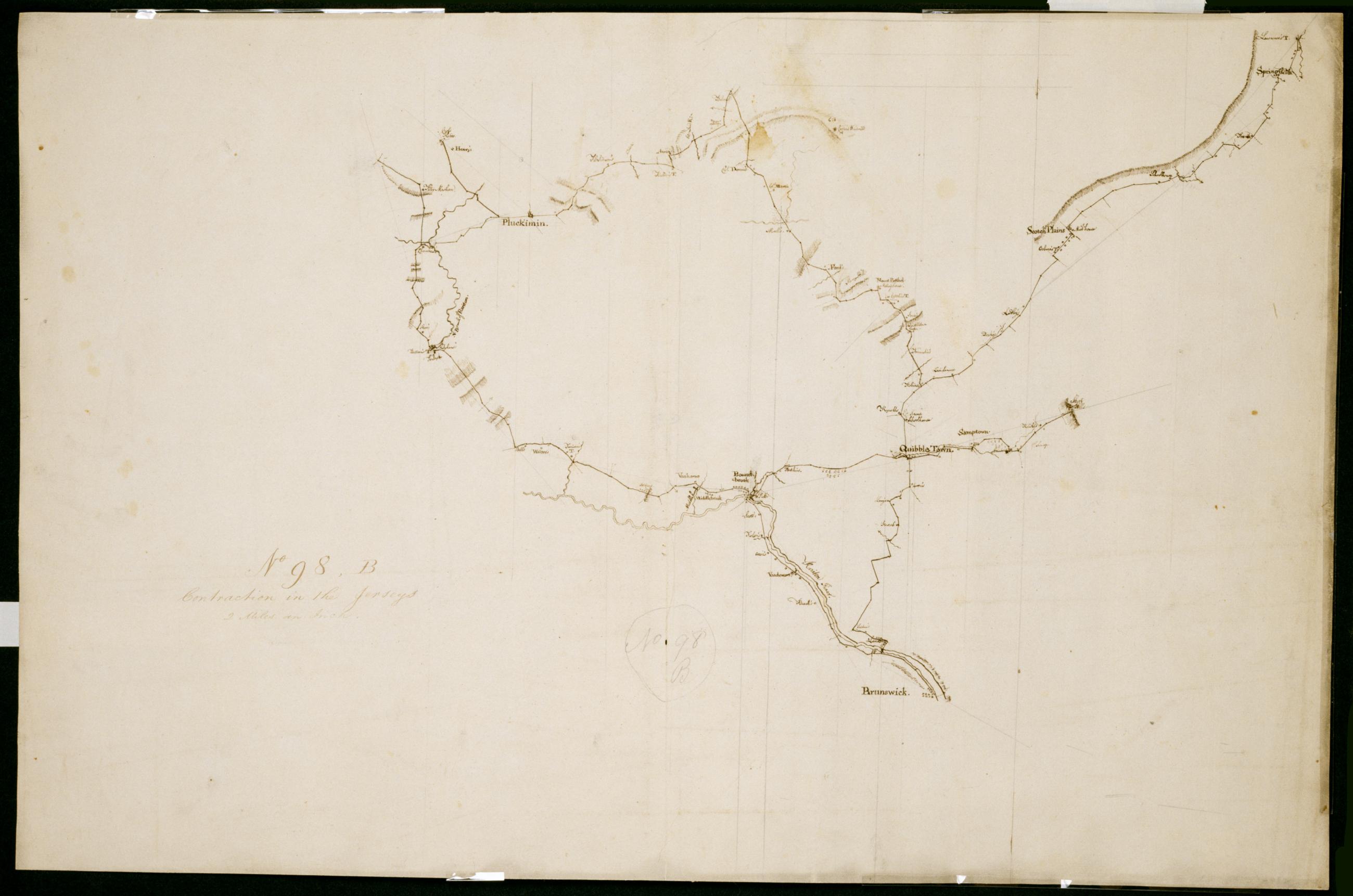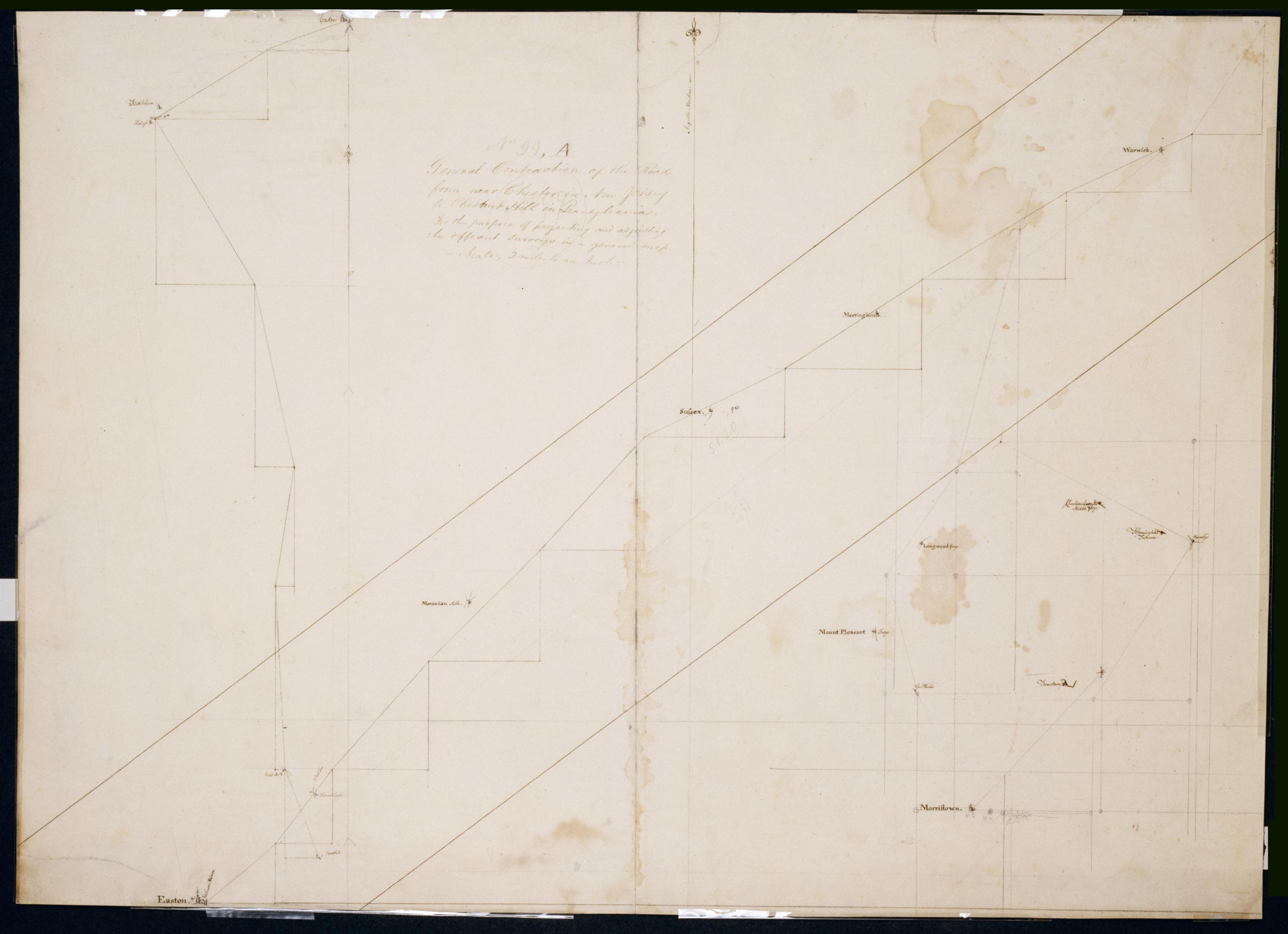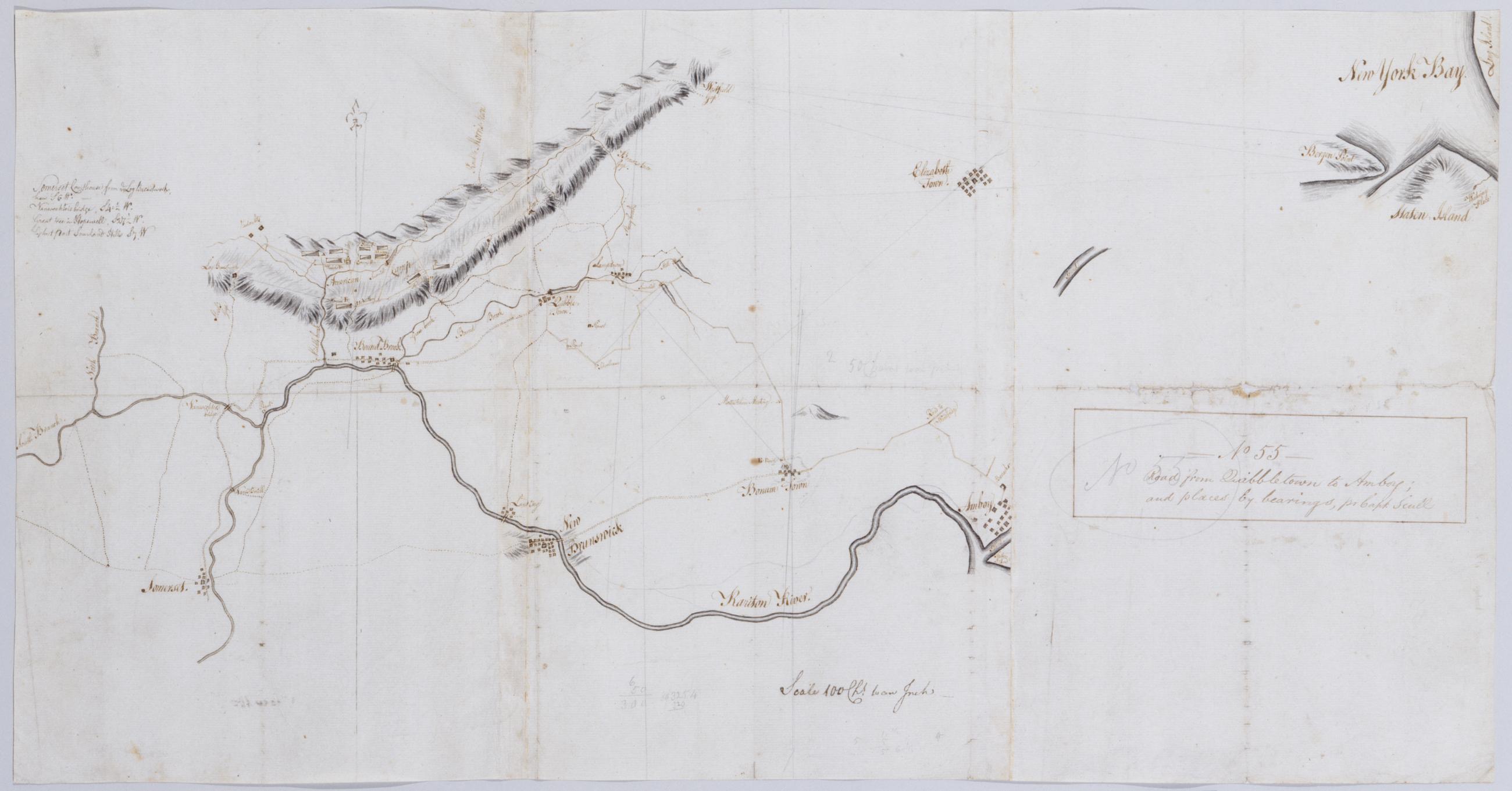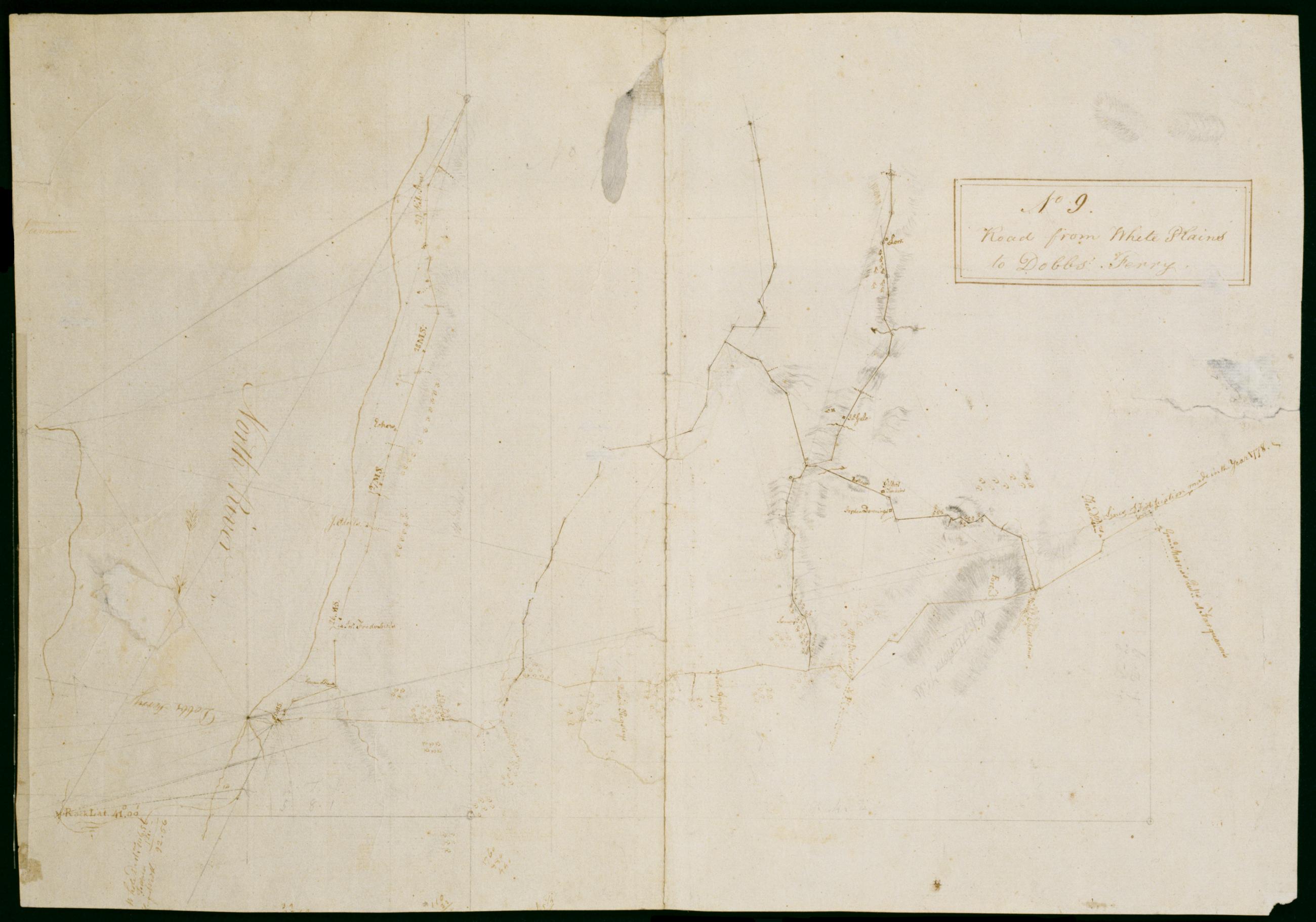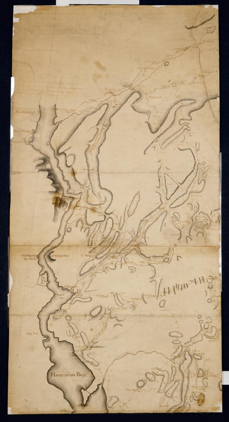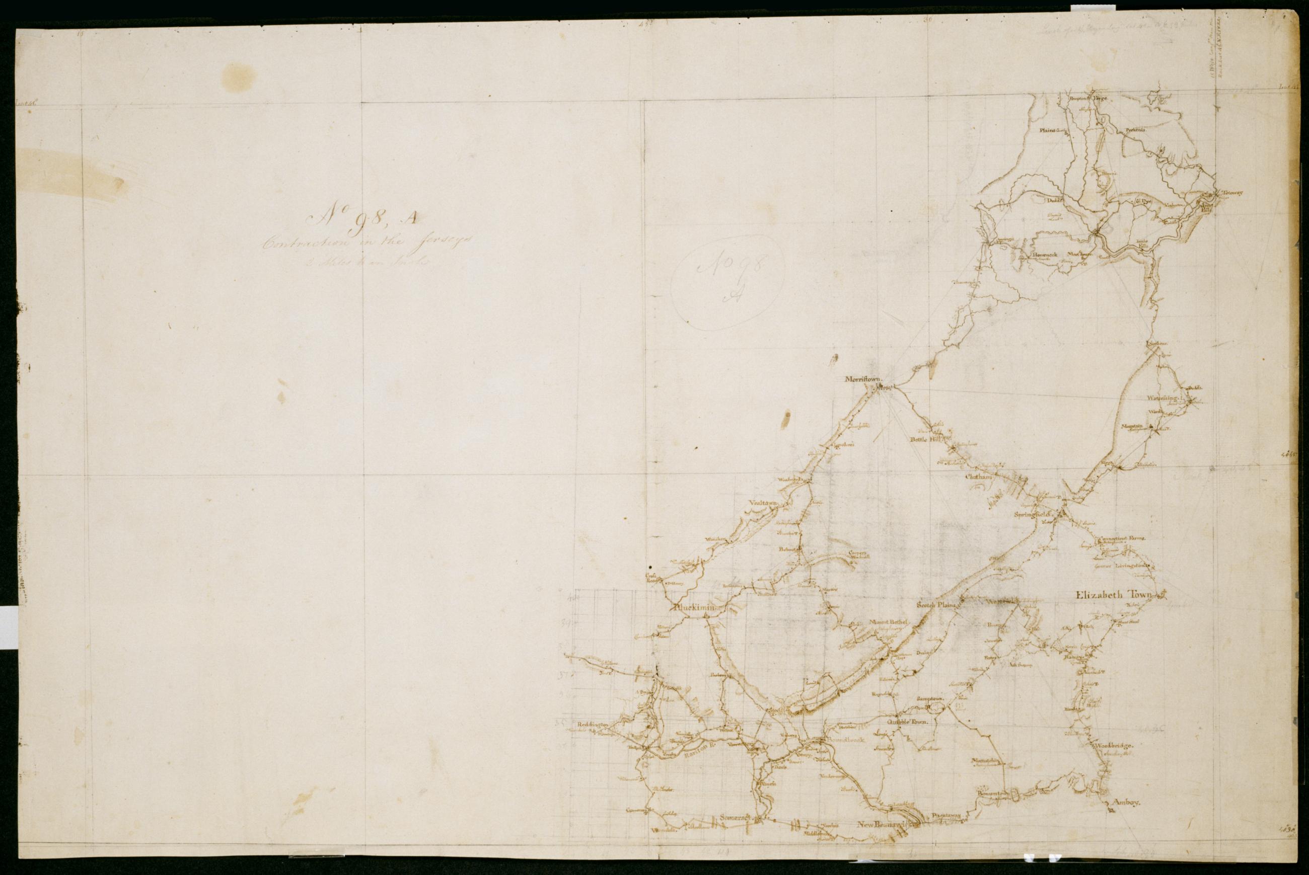
Cartographic
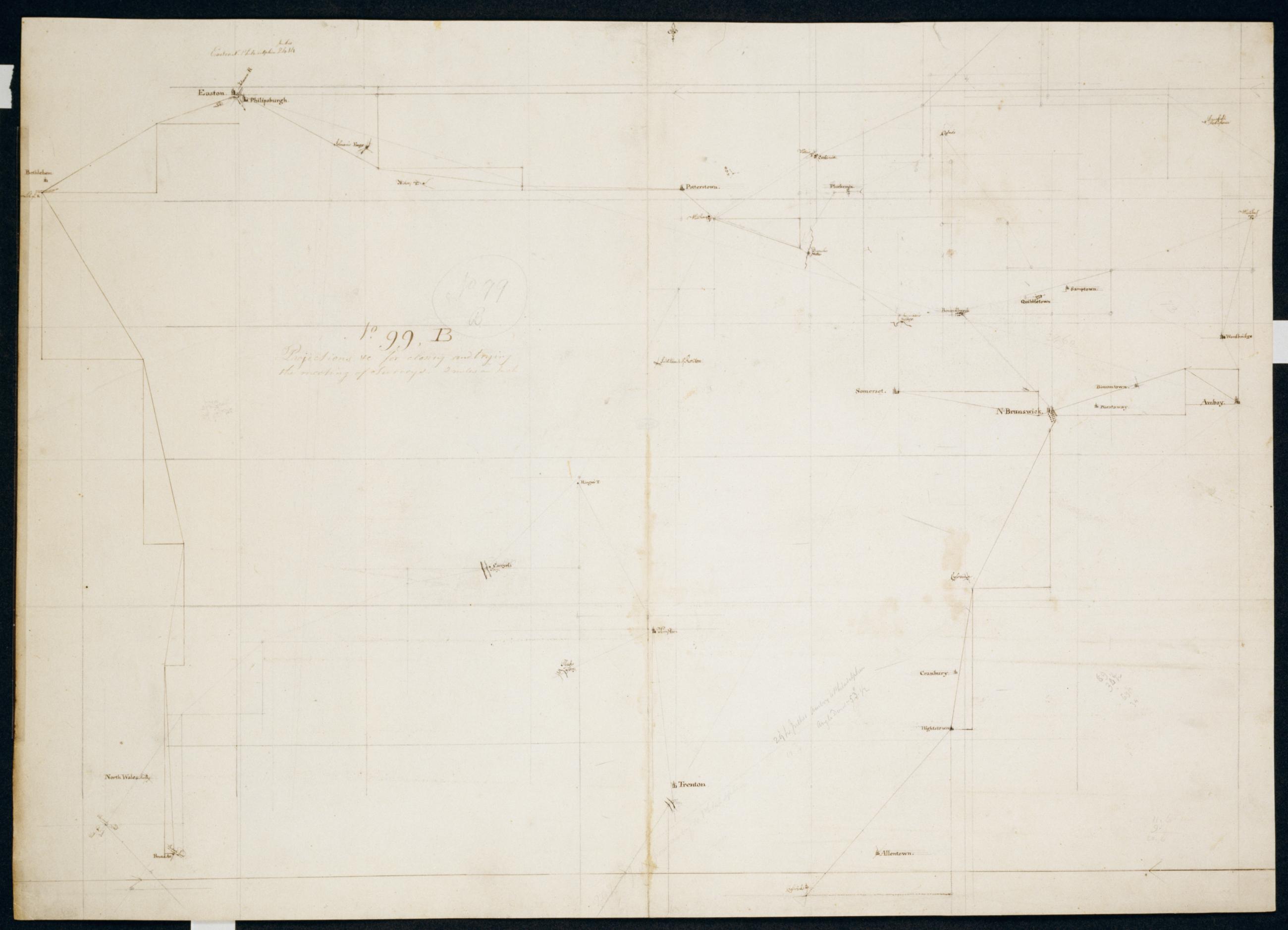
Contraction in the Jerseys. No 98 A / Large Paper by Capt. Scull ; by Robert Erskine F.R.S. Geogr. A. U.S. and Assistants.
In ink on verso: " No. 98 A A". In pencil on recto: "No 98 A". Military topographic map. Covers parts of Bergen- Essex- Hunterdon- Middlesex- Morris- Passaic- Somerset and Union counties in New Jersey. Also shows buildings and owners' names- landforms and streams. Pen-and-ink- pencil on laid paper. Shows relief by hachures. Stained- soiled- creased- frayed and abraded. Mounted on cloth- bound and cropped- disbound and silked by subsequent owners. Cleaned after removal of backings 1999; some fill remains. Sheathed in mylar.
View Item