Still Image
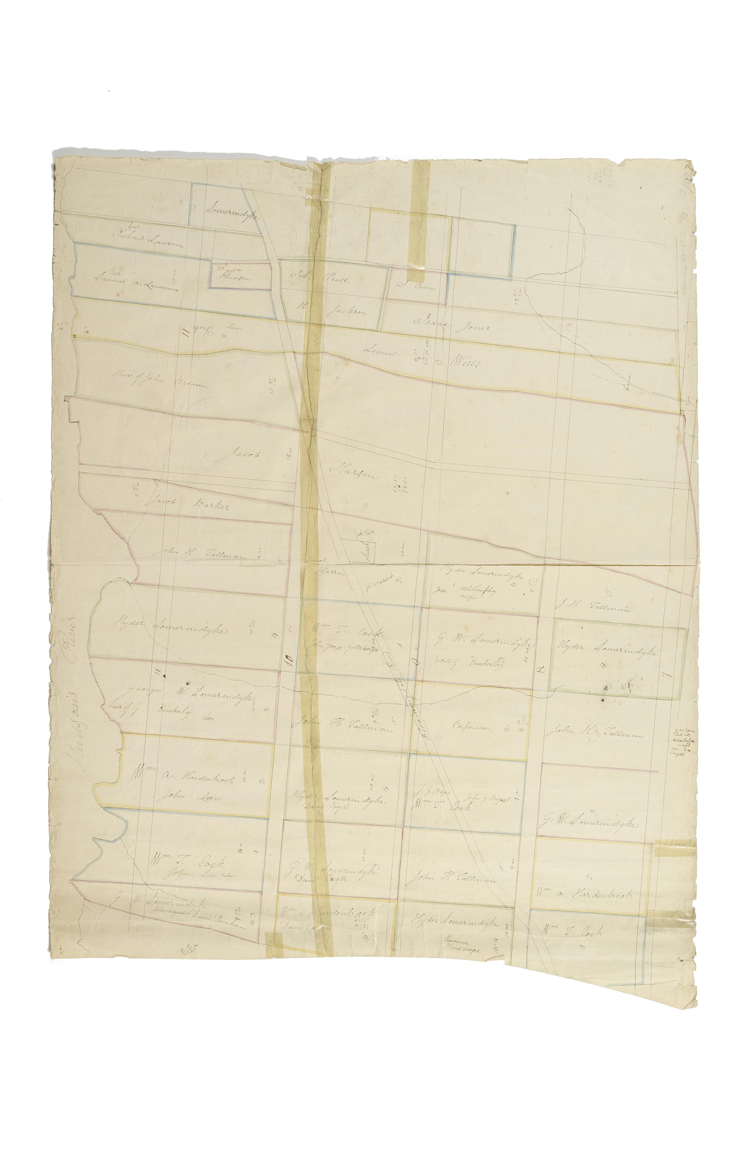
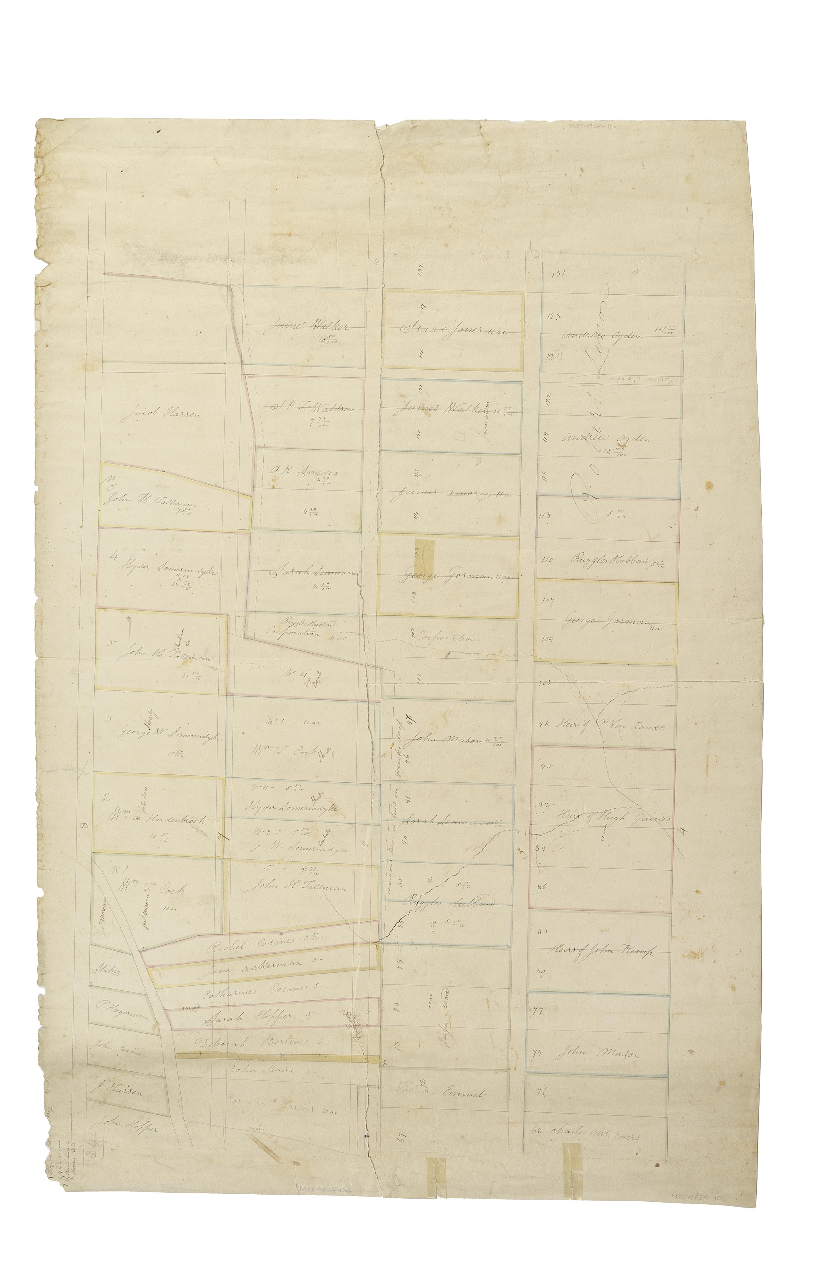
[Map of the area later bounded by 52nd and 74th Streets, Park Avenue, and 8th Avenue or Central Park West, Manhattan, New York, N.Y.].
Scale [ca. 1:2,450]. Cadastral map. Shows property lines and owners' names, some existing roads and projected streets. Pen-and-ink, watercolor on paper. Annotations in a later hand on this recto of this sheet give the number 34. The map on recto of this sheet belongs to the same series and is separately cataloged under the title, [Map of the area later bounded by 8th and 34th Streets, the East River and 5th Avenue, Manhattan, New York, N.Y.].
View Item